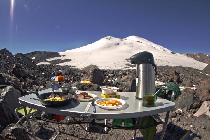
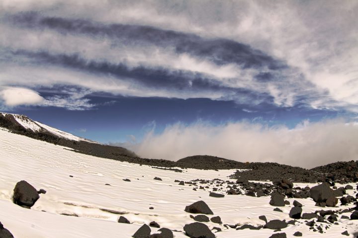
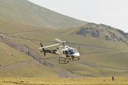
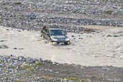
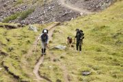
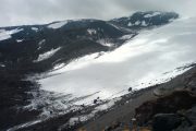
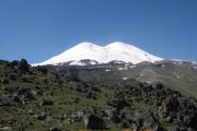
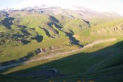
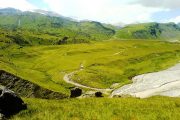
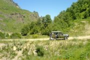
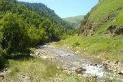
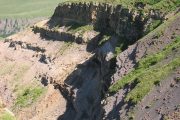
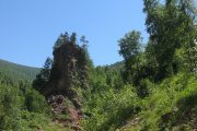
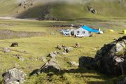
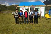
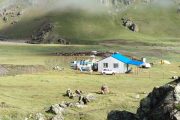
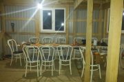
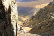
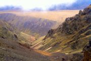
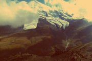
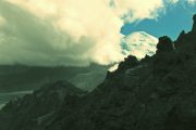
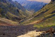
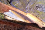
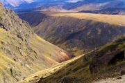
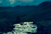
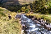
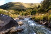
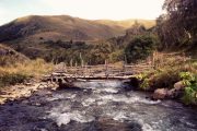
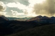
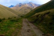
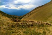
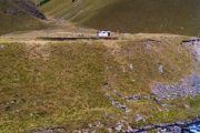
Why choose this trip?
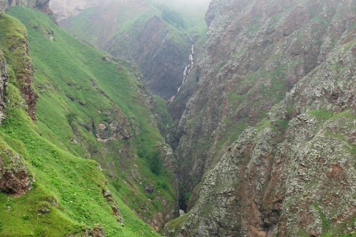
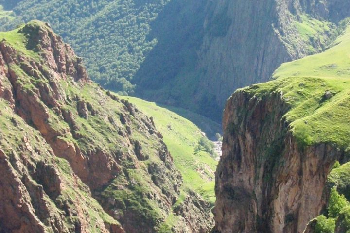
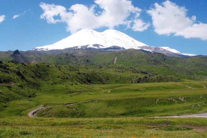
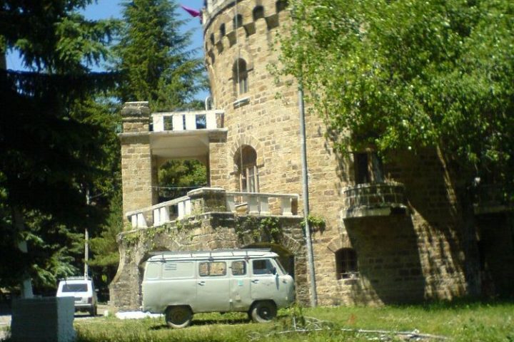
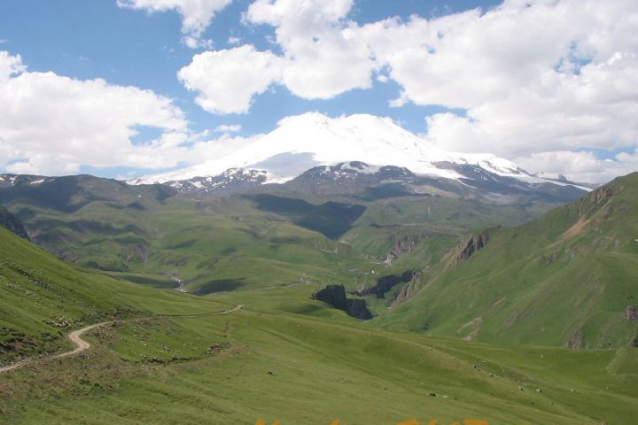
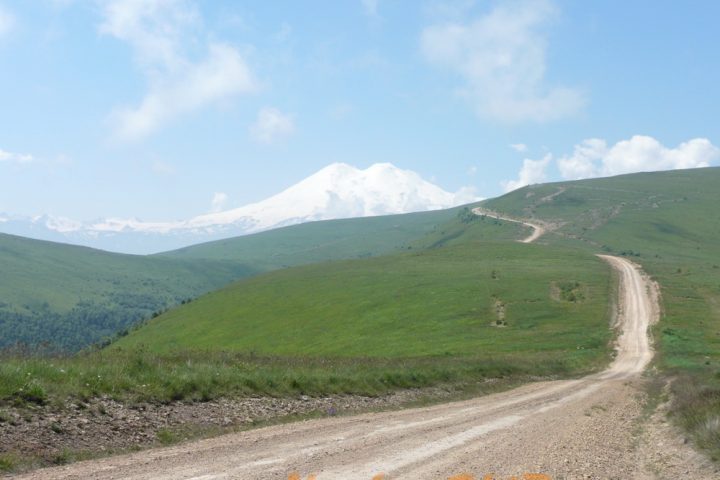
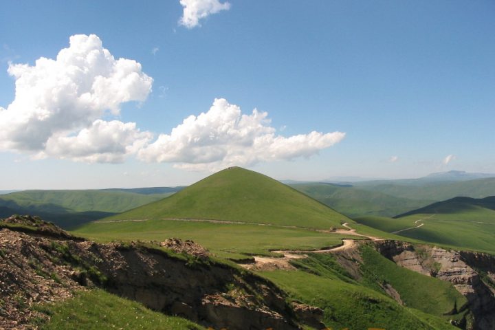
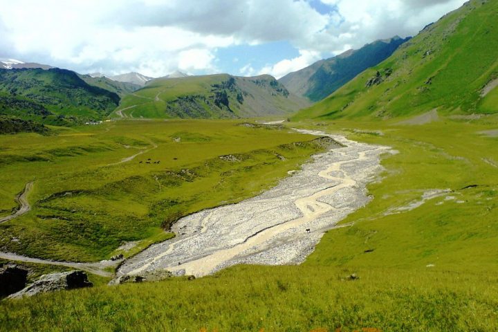
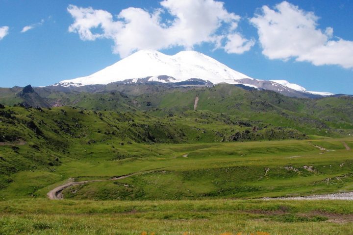
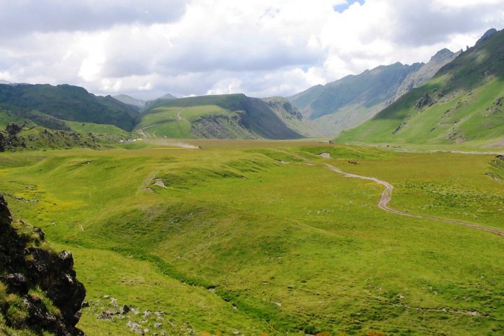
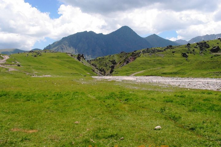
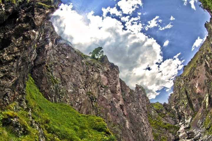
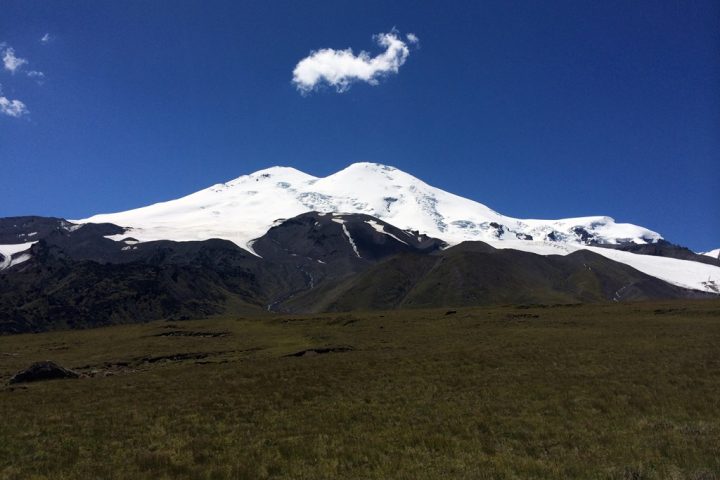
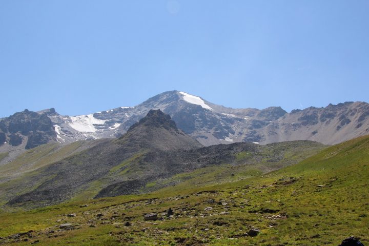
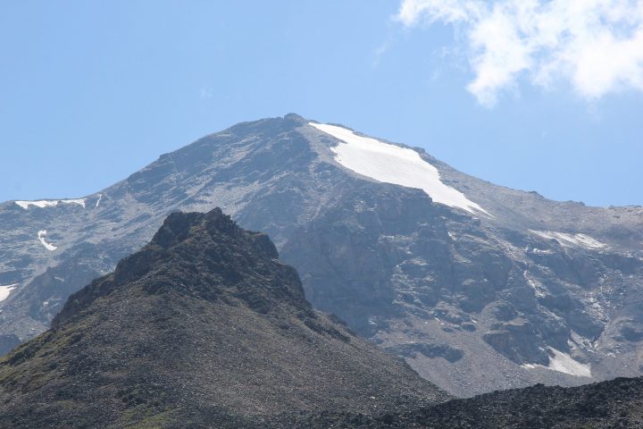
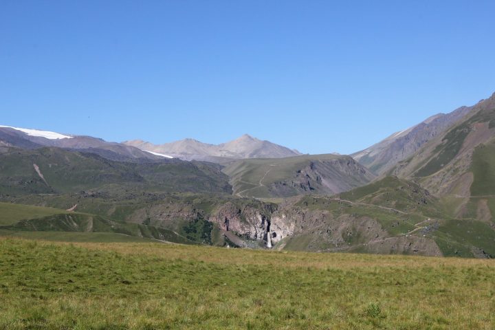
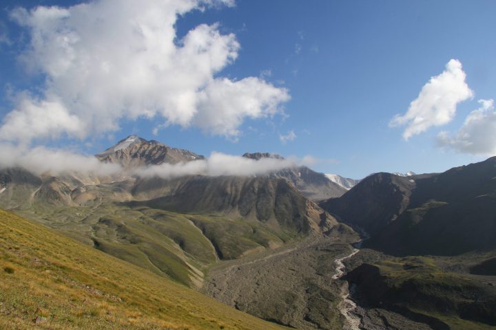
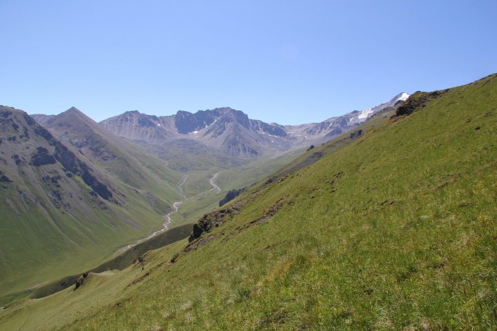
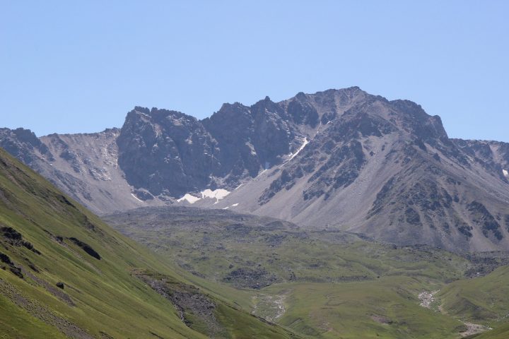
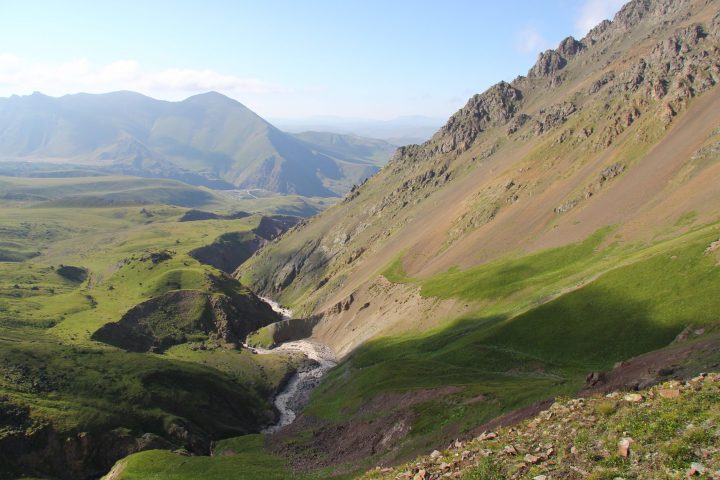
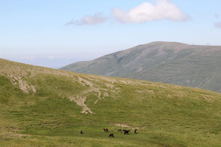
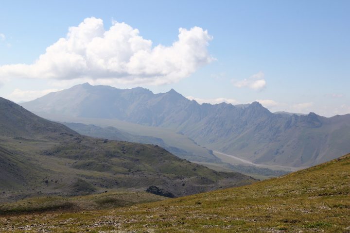
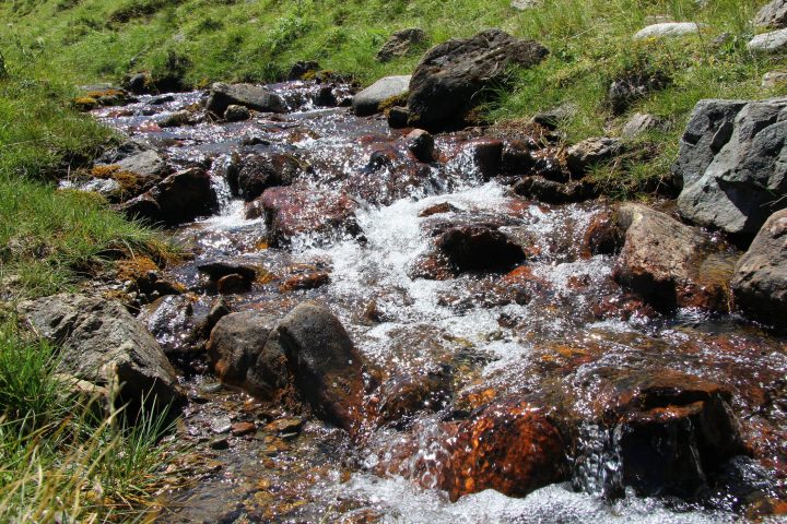
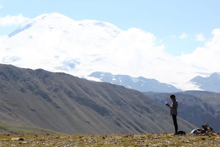
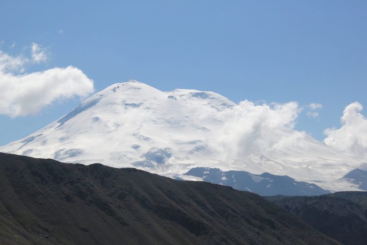
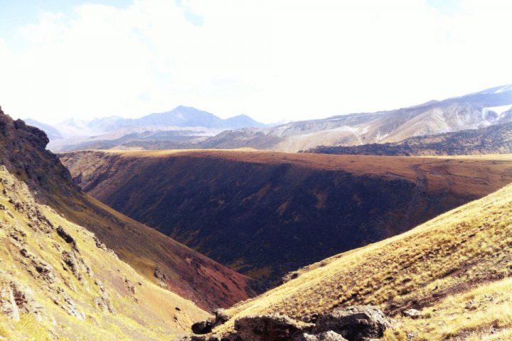
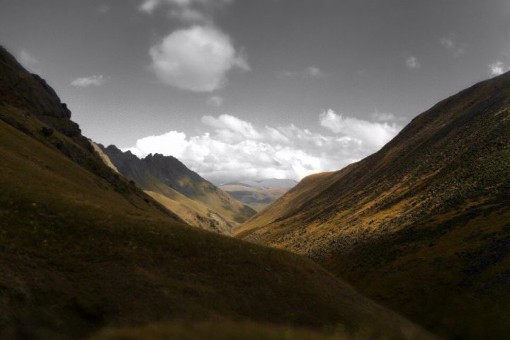
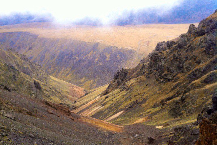
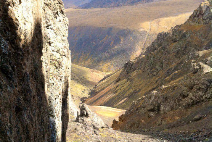
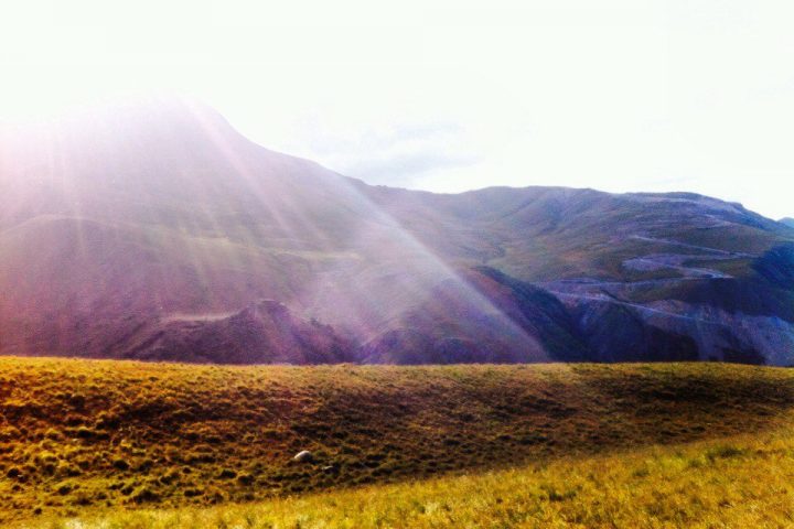
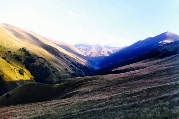
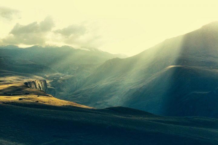
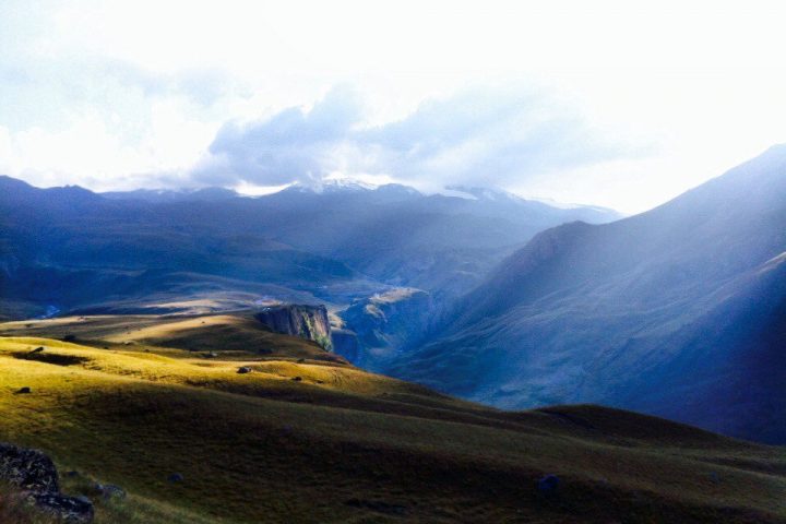
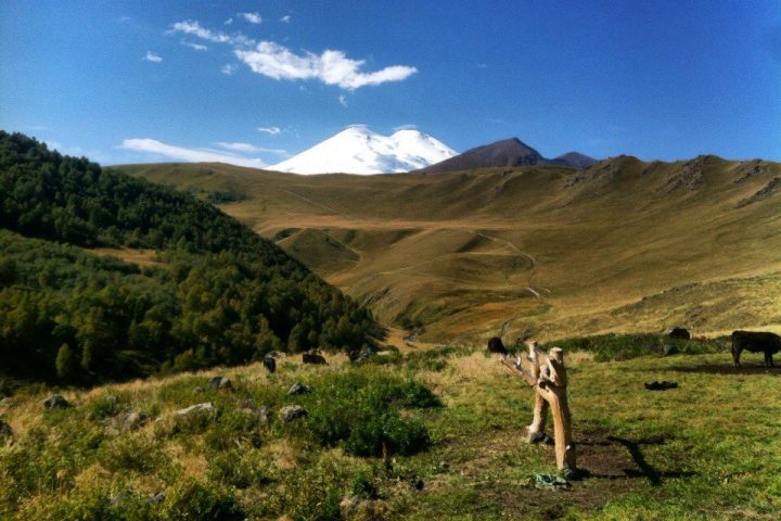
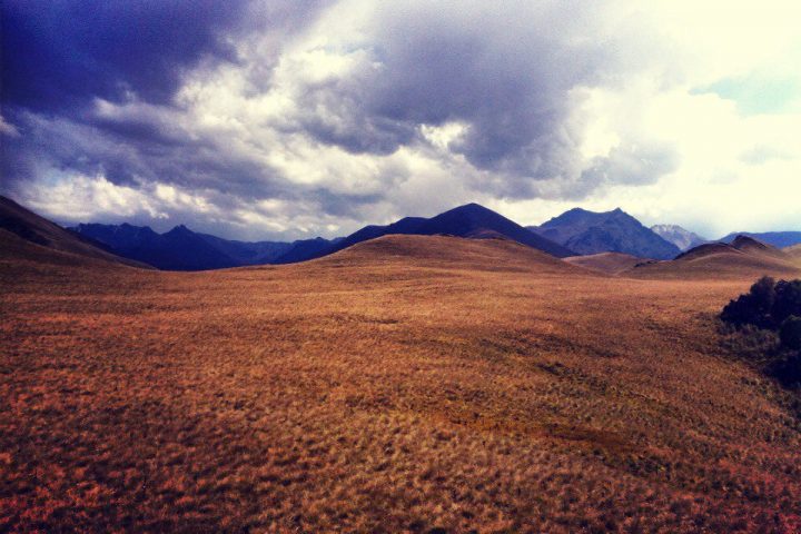
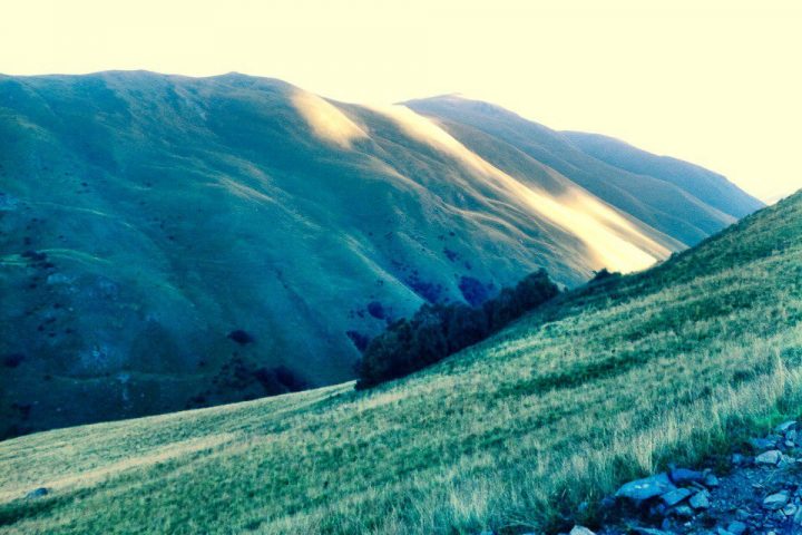
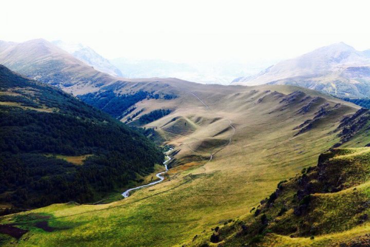
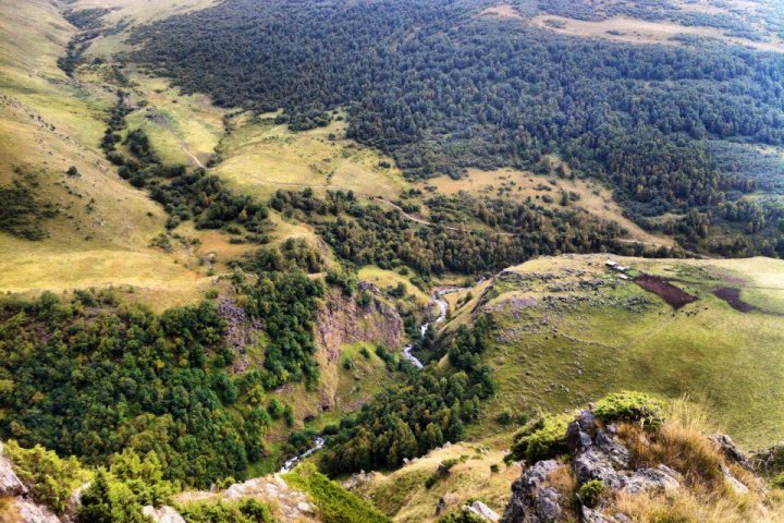
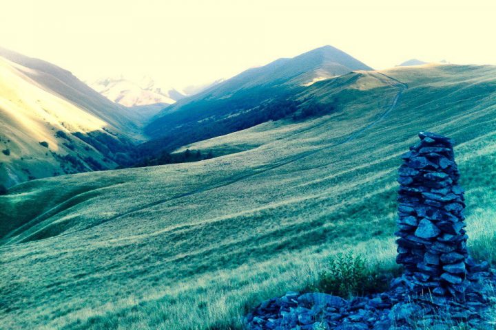
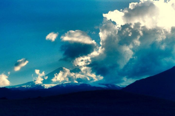
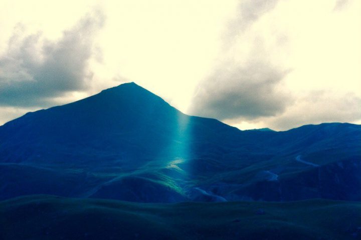
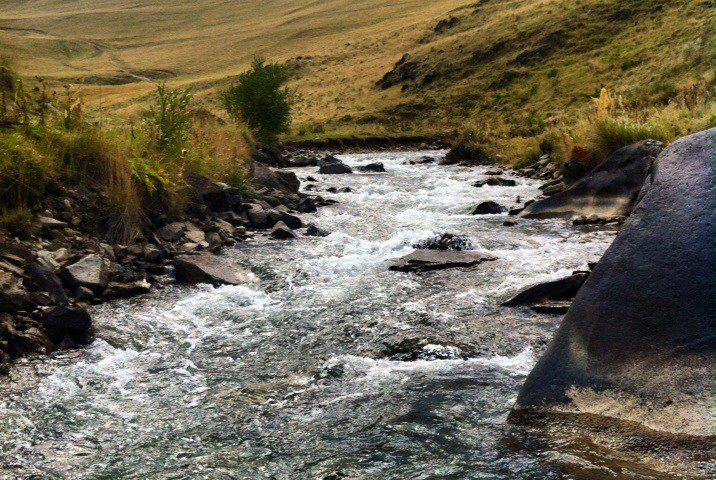
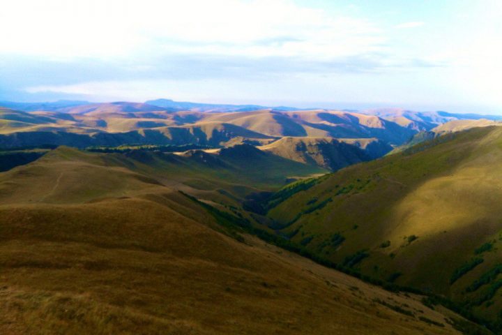
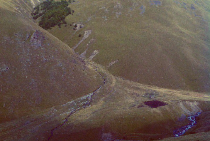
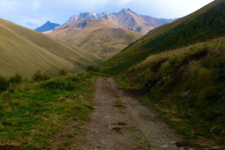
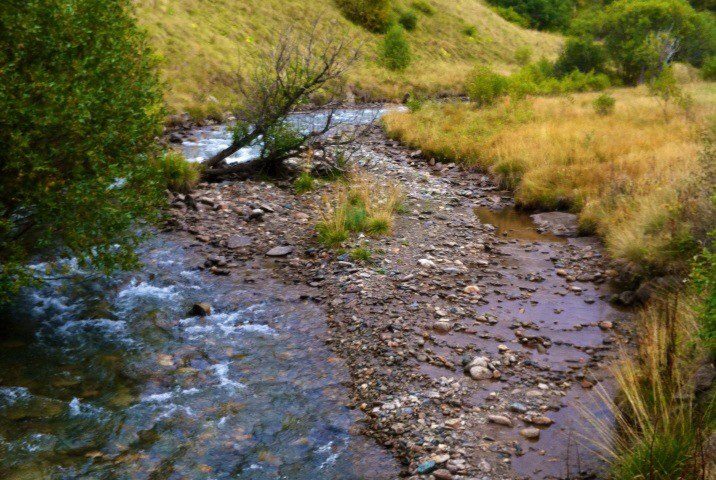
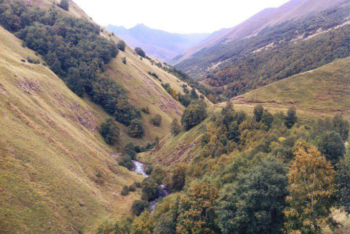
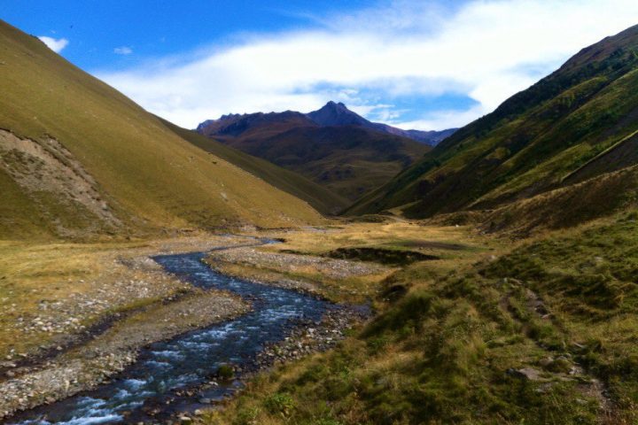
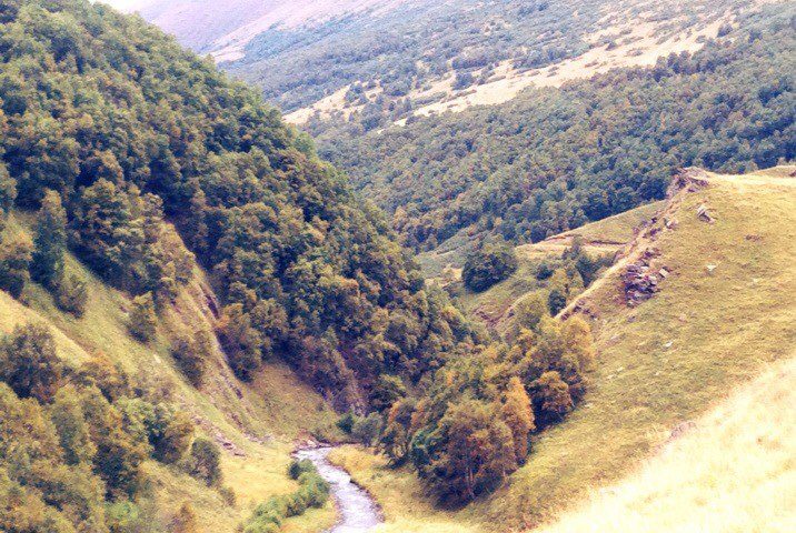
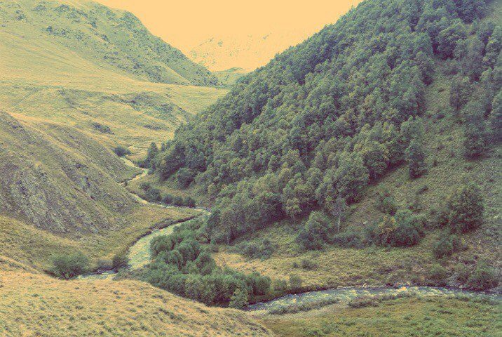
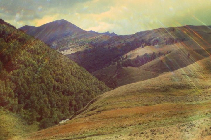
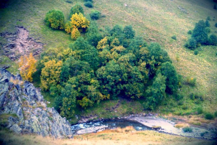
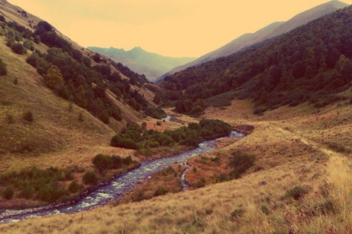
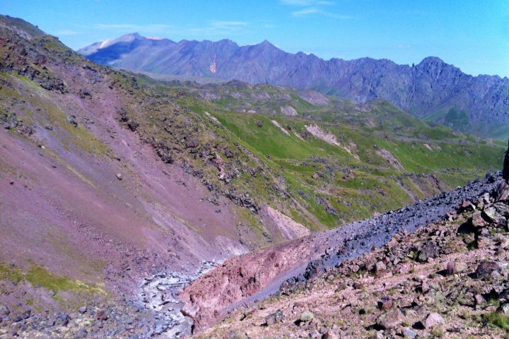
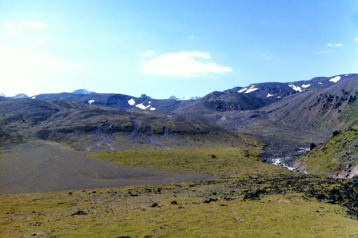
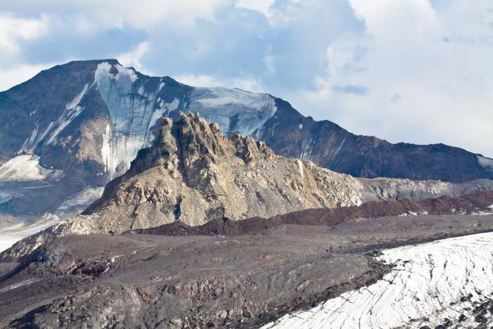
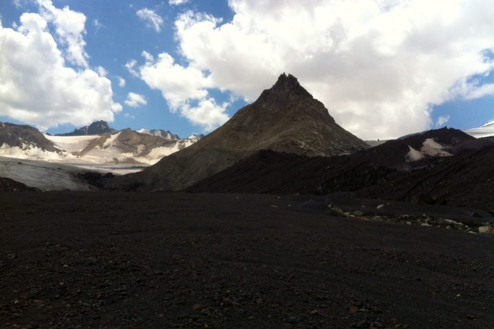
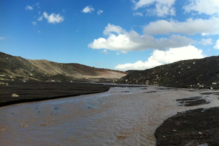
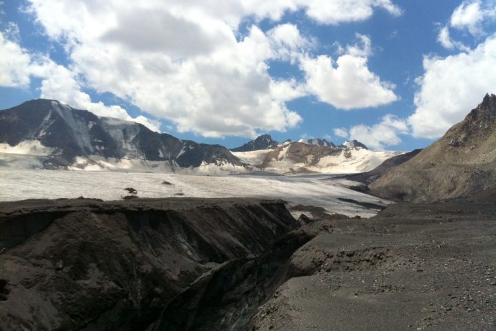
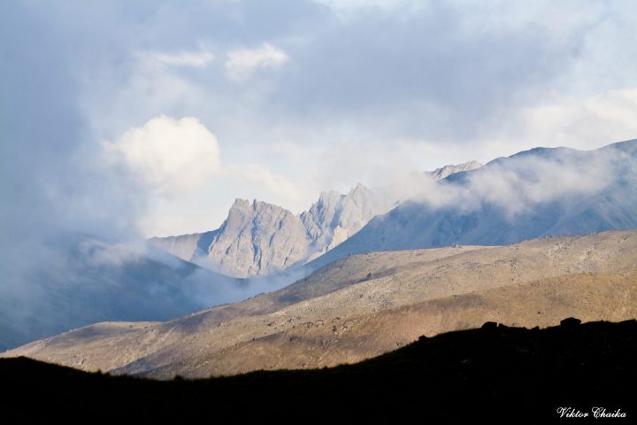
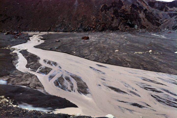
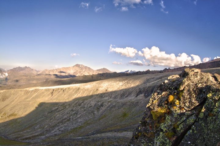
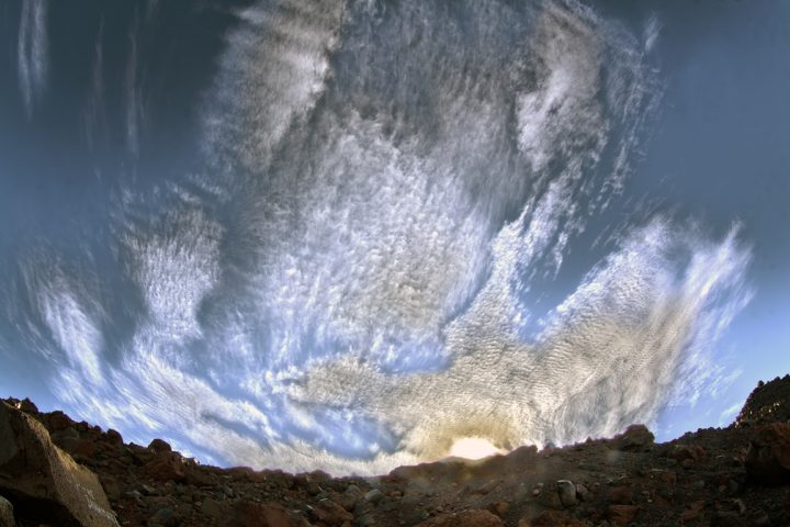
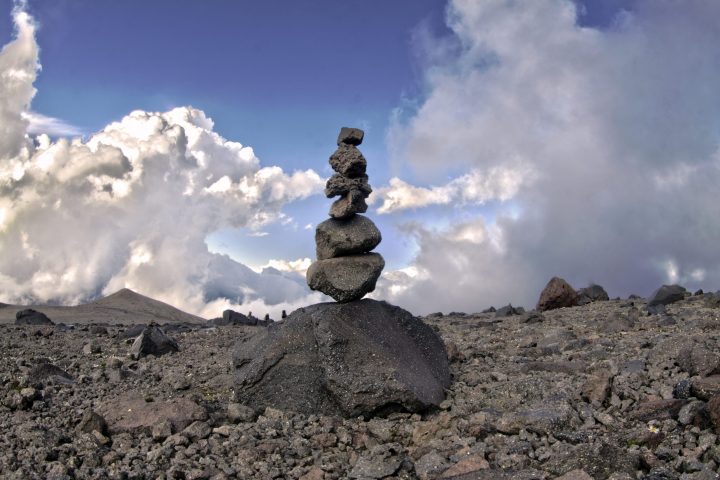
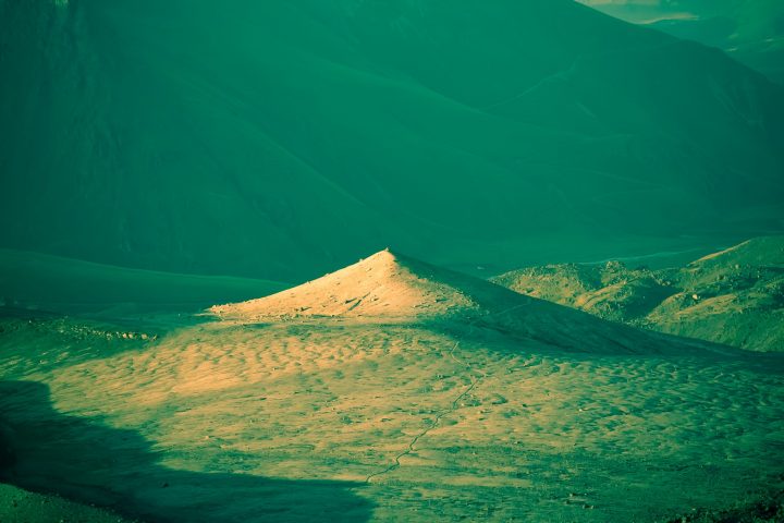
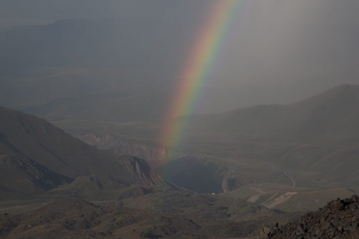
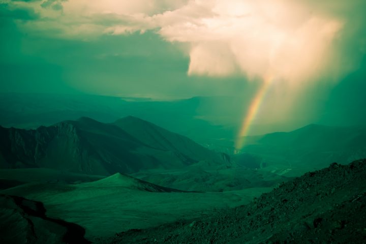
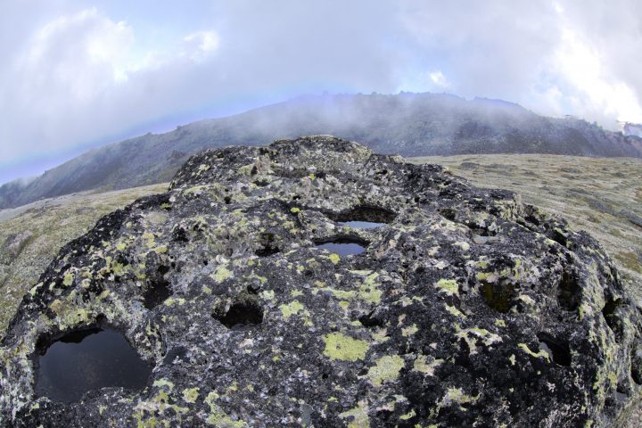
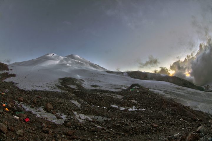
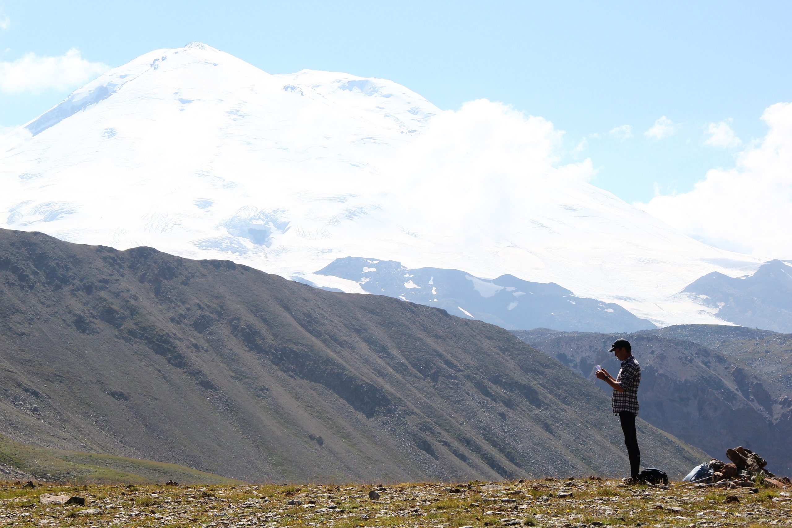
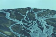
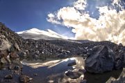
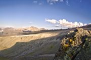
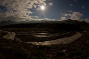
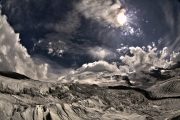
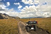
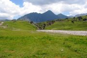
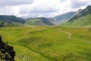
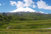
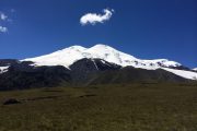
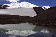
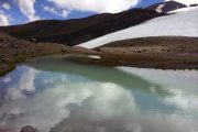
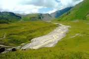
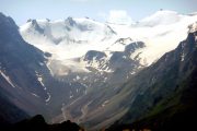
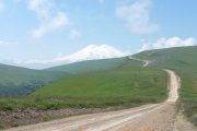
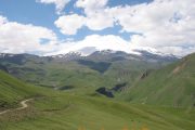
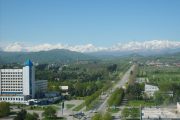
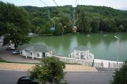
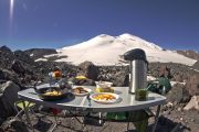
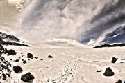
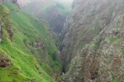
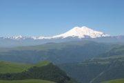
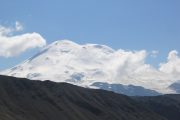
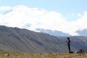
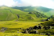
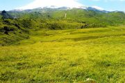
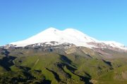
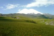
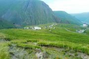
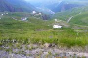
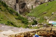
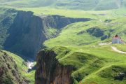
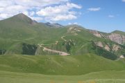
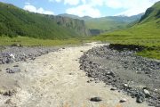
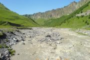
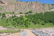
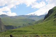
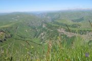
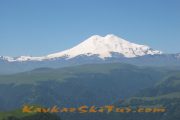
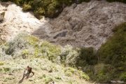
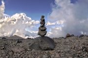
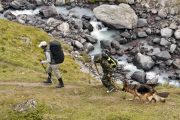
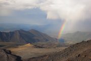
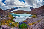
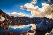
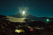
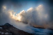
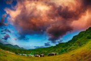
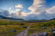
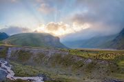
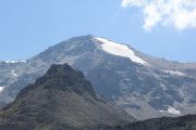
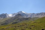
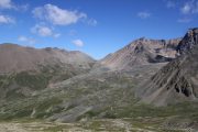
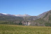
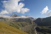
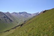
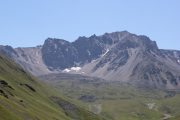
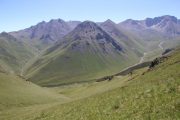
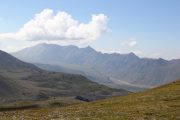
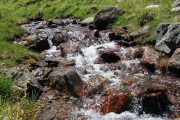
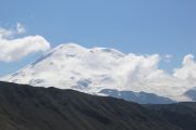
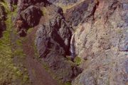
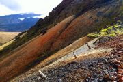
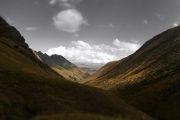
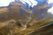
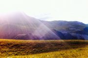
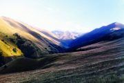
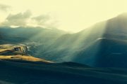
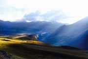
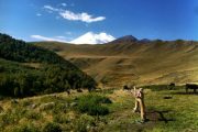
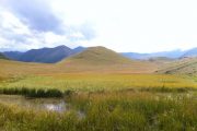
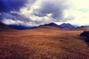
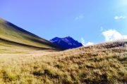
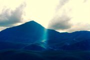
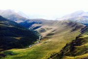
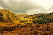
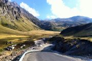
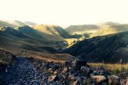
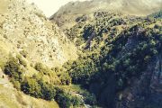
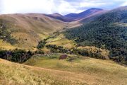
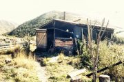
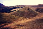
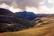
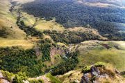
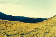
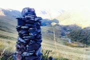
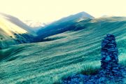
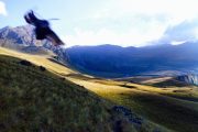
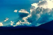
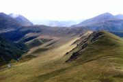
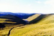
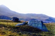
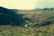
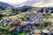
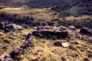
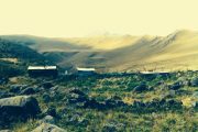
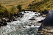
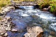
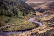
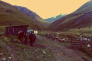
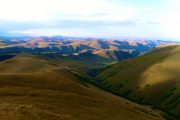
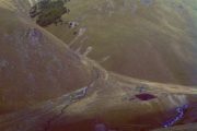
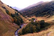
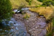
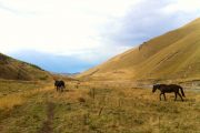
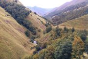
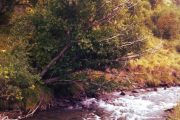
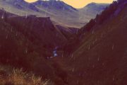
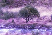
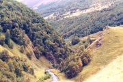
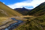
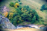
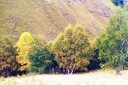
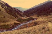
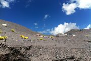
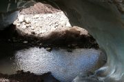
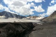
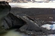
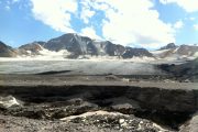
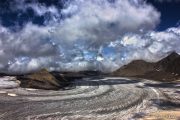
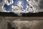
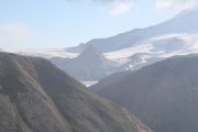
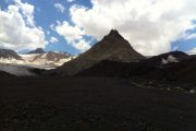
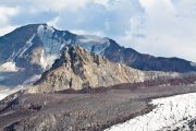
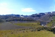
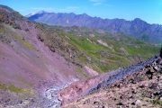
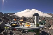
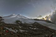
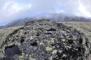
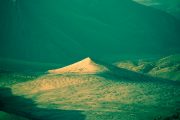
The trip allows to get acquainted with many attractions of the landscape and nature of northern Elbrus. All the routes are going through the natural beauty and wild mountain regions, which are best of all reflects the soul of the North Caucasus. Large plateau with stunning views of Mount Elbrus, glacial and spring lakes, wild rivers, crystal clear streams with trout, birch alpine forests, alpine meadows, glaciers, waterfalls, mineral springs, ancient ruins of villages, menhirs, passes: that’s just a small part of what offered in program. All tracks are under the watchful eye of the main attraction of these places – His Majesty Elbrus. All routes start and end at the base camp at an altitude of 2600 m, situated on a plateau Irahiktyuz and designed for one day hiking. The camp has all necessary conditions for quality rest and get ready for new adventures. Only one of the trips planned for two days with an overnight stay at 2000 m in sheepyard, which allows you to experience the atmosphere of the true life of the mountaineers. In many places where we go, you’ll want to stay forever. And when you leave it, you want to come back. Always will. There is something here that leaves inside the warm and calm feeling of home, where you leave a large part of your heart and soul. And all this will call you back. It is very beautiful in here. And its all real.
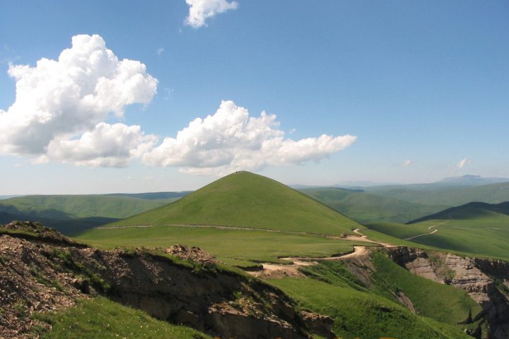
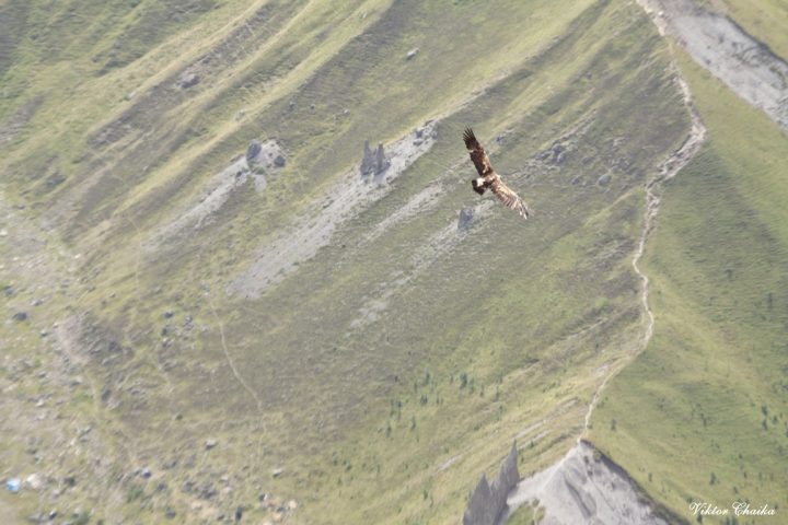
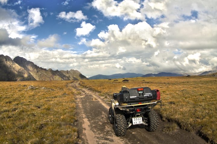
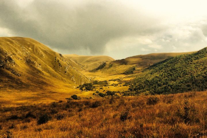
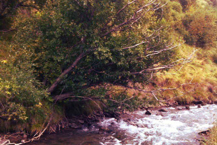
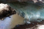
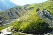
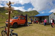
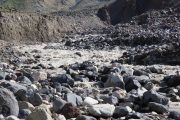
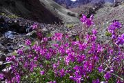
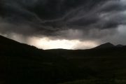
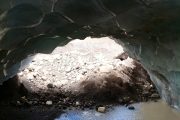
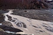
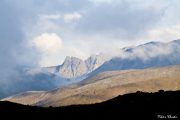
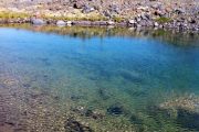
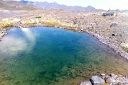
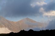
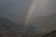
The real nature.
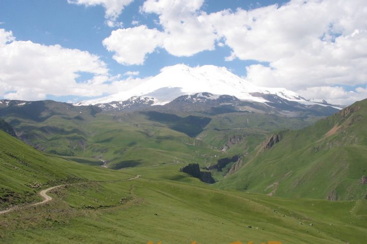
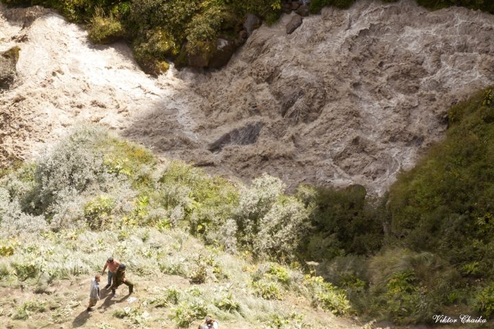
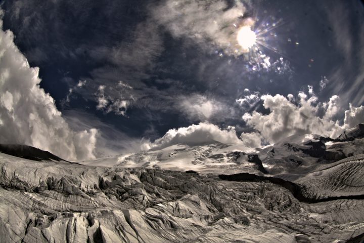
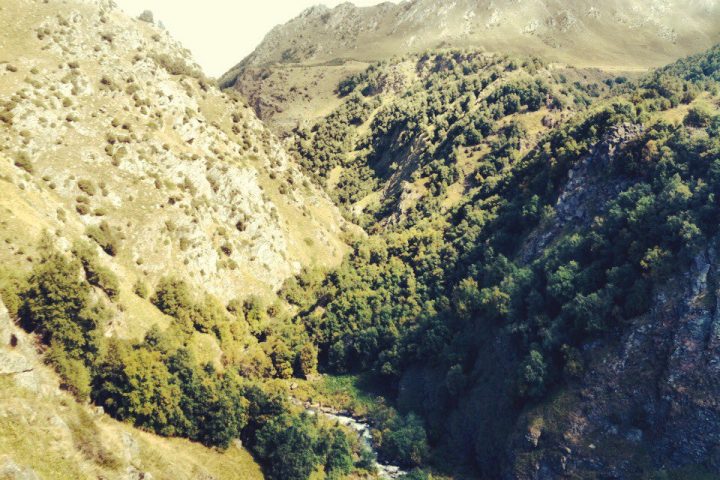
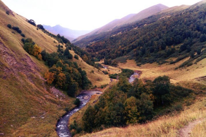
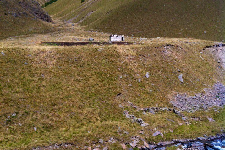
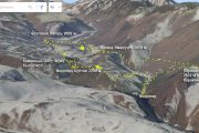
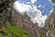
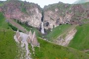
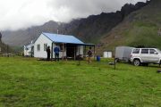
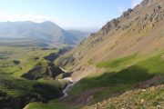
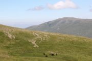
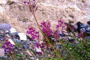
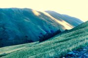
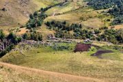
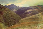
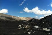
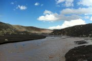
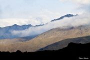
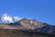
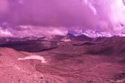
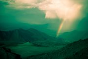
These mountains.
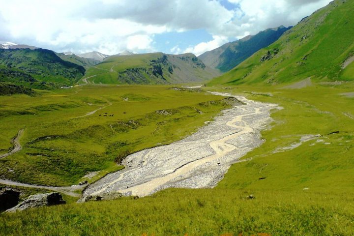
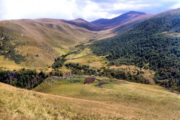
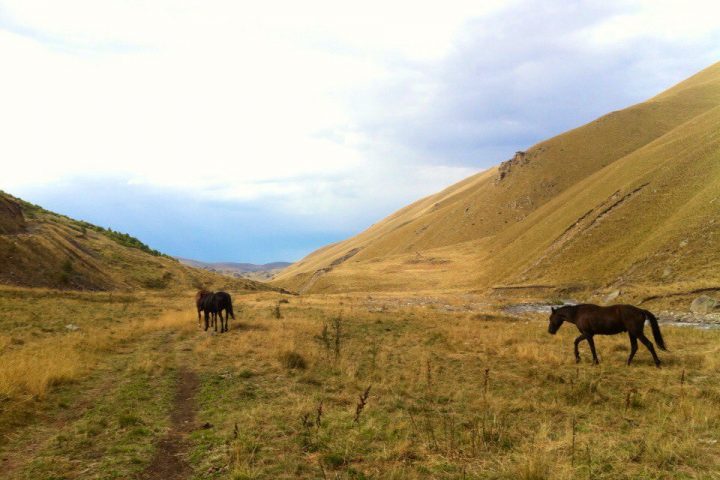
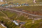
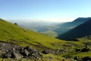
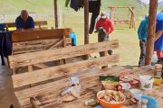
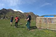
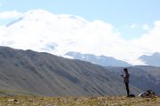
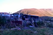
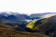
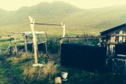
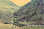
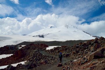
Real people.
Itinerary
Day one:
Day two:
Day three:
Day four:
Day five:
Day six:
Day seven:
Day eight:
Day nine:
Day ten:
About Base Camp 2600 m
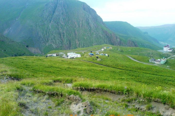
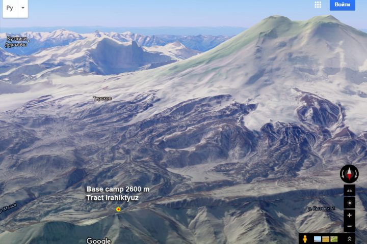
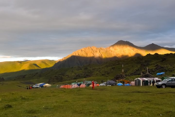
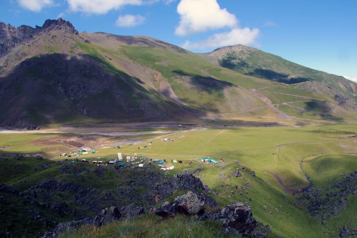
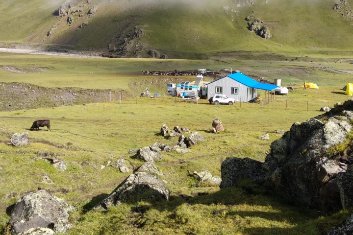
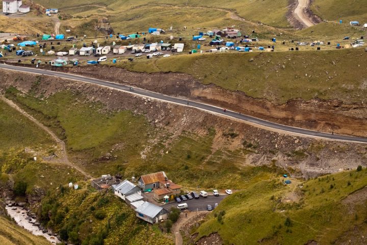
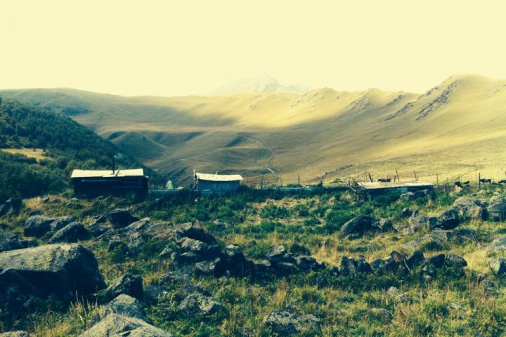
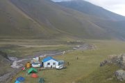
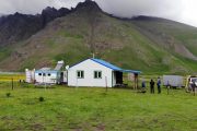
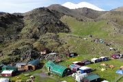
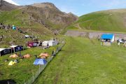
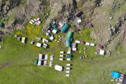
The base camp is located on the plateau Irahiktyuz that is from the time of Emanuel also slowly began to be called “Glade Emanuel”. Located at an altitude of 2600 m, the base camp can rightly be considered the most basic high located mountaineering camp in Europe.
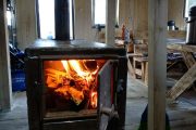
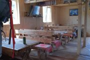
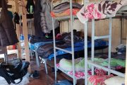
Accommodation – stationary tents and huts.
Three meals a day plus snacks.
GSM mobile phone
Internet
Electricity (generator)
Hot showers
Water – the spring
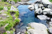
Nearby there is mineral springs.
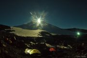
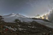
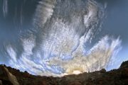
Incredibly starry sky)) which make the base a “billionstar hotel”))
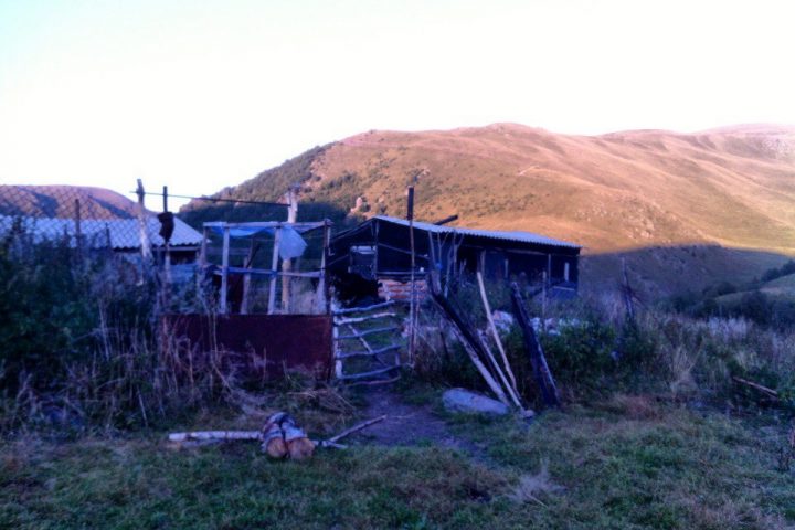
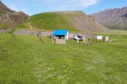
A five minute walk from the camp there is sheep-yard, where you can taste the food of true mountaineers – cheese, ayran, bread of shepherds, buy lamb (on request it can be prepared and cooked as shashlik – grilled barbecue and shurpa – soup made from mutton), “lamb” after trip here has already became a pleasant tradition.
Weather and climate. During the summer season on the glade of the base camp the weather is very comfortable, even at temperatures above 30 degrees in the sun it does not feel as “heat” because of dry air. At day time – it’s hot, at night – not cold. It is worth noting that the climate of these places is formed not only by the global atmospheric formations such as cyclones, but to a greater extent it is due to local processes, caused by the proximity of ridges, the presence of glaciers, changes in temperature of air, winds, caused by this, and of course the presence of huge volcanic monster nearby.
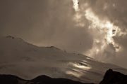
Because of all this the local climate is cyclical here – an average cycle length of about five days, five days of relatively good weather, five days of relatively bad. Although bad weather here cannot be relative, and particularly bad, which, however, does not negate the transitions related to the trekking. Relatively good weather can be as follows: first half of the day – the sun is shining, clear and understandable. In the afternoon clouds gather in local formation and there are some precipitation in the form of rain, dust rain, hail. Thunderstorms occur. On the upper half of the mountain hangs cloud. However, the weather can be good and it is currently so for a day or even a few days, when the air is “ringing”, the sun shines all the time, Elbrus is open throughout the day and night.
Treks occur in any weather. Normally, the presence of raincoat solves all. In general, the climate even in this northern part of the Elbrus a little “softer” than the climate of the central parts of the Caucasus joined to the Main Caucasian ridge. But along with a few days of walking in the “beach” style, sometimes can be all days raining and the wind blows. But, at this stage, we can assume that there can be any weather in this phase of our adventure. Because all of this can be overcome and not critical, even if the weather drops “very bad”.
Sunny weather can deliver the “discomfort” of another kind – a test of high temperature. Although the heat is felt differently here than on the plain, and the moisture from the skin evaporates more effectively, all this does not cancel the fact that the body in such weather conditions associated with physical work, loses a lot of fluid and may slightly “overheated”.
At this stage of trip, the weather is almost cannot be a problem, but still it is better to have its specialties in mind.
TOUR DESCRIPTION
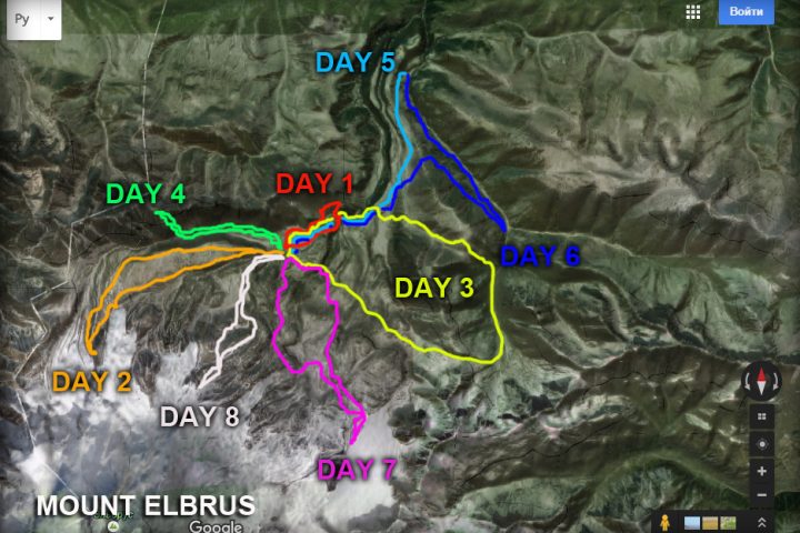
Day 1: Transfer from Nalchik to the North Elbrus.
After dinner hiking with small gain of altitude in the surrounding area.
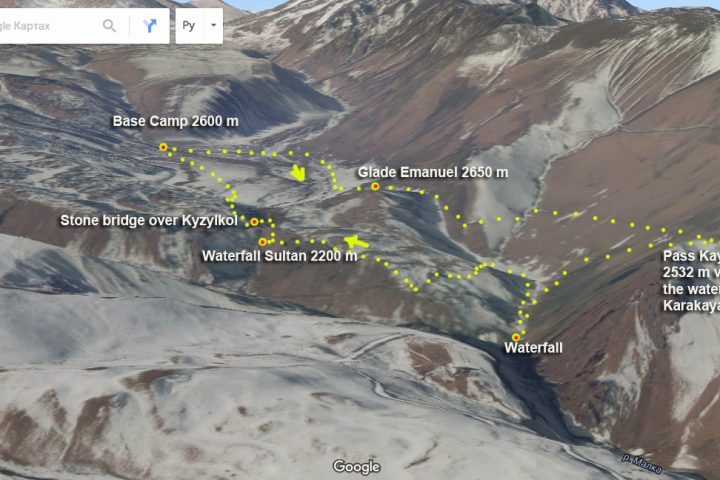
The route of this day:
Glade Emanuel, a place where was the base camp of the first expedition to Mount Elbrus, stone Emanuel, Pass Kayaeshik, with views of the Malka canyon and waterfalls (the biggest in Kabardino-Balkaria) on the river Karakaya-su.
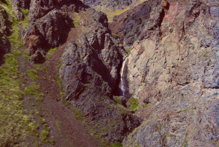
Two waterfalls on the river Kyzylkol.
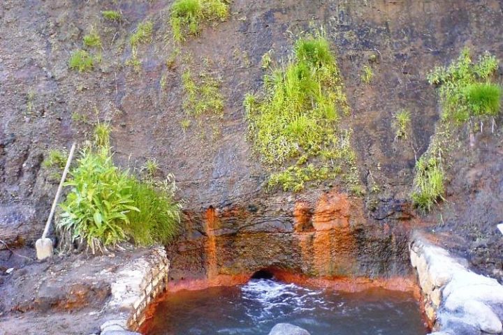
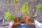
Mineral springs Gil-Su.
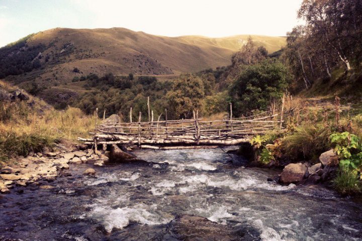
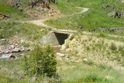
Stone Bridge (Kalinov Most) by the river Kyzylkol.
Return to Base Camp.Time 4-5 hours.
Elevation: +-300m
Length – 12 km
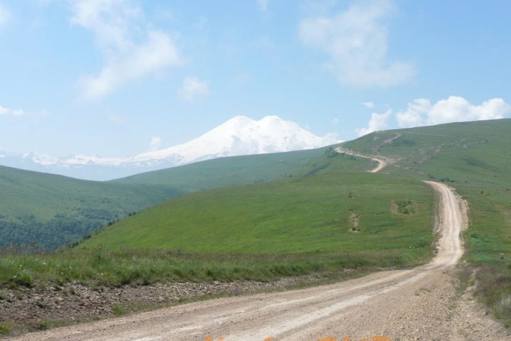
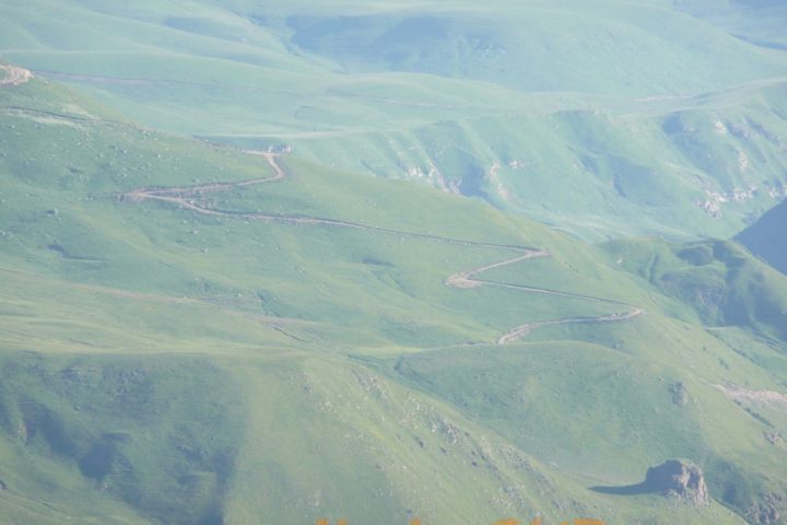
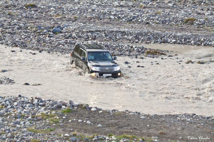
The road to Elbrus North is one of the most difficult and exhausting. To be more exact there was no road at all up to 1980-s. Now there are two roads leading there from two different sides of Malka canyon but they still remain tiresome.
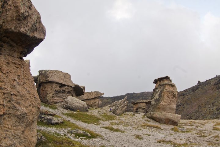
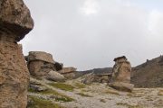
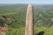
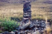
On the way to Elbrus North side camp many interesting places. There is the place we can see one of wonder of Elbrus Country – megaliths. There are several megaliths. Most of them are about three meters high. Its upper part is made like the warrior’s head in helmet. Megaliths is one of the most puzzling mysteries here.
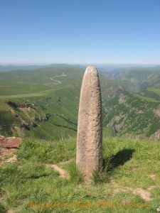 You can get a lot of very interesting information about European megaliths in the WEB but not about Caucasian ones. Judging by the peculiarities of graving we can detect here the traditions of fore-Asiatic and Cimmerian art. This monument – if to judge by the features – may be referred to Scythians. As for the helmet it is the so called Assyrian type. It means that the monument goes back to the beginning of the 7th century BC.
Approaching Gili-Su springs (2380 m) through the plateau with the watershed of the rivers Ingushly and Malka – you’ll get a marvelous view: Rocky Range with two beautiful summits of Western and Eastern Kandjol.
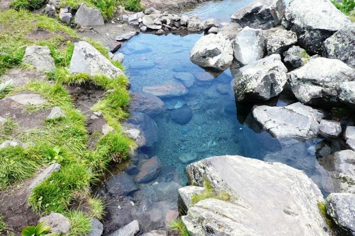
Nowadays it is generally accepted that the formation of Elbrus volcano and its activity began about 4 million years ago and was over about 4,5 -5 thousand years ago. Elbrus is an inactive volcano but some volcanic processes are still going on that can be detected by the temperature of water from the mineral springs (up to 24 grades C). Gili-Su springs are among them.
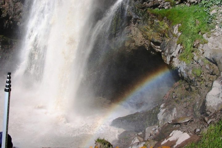
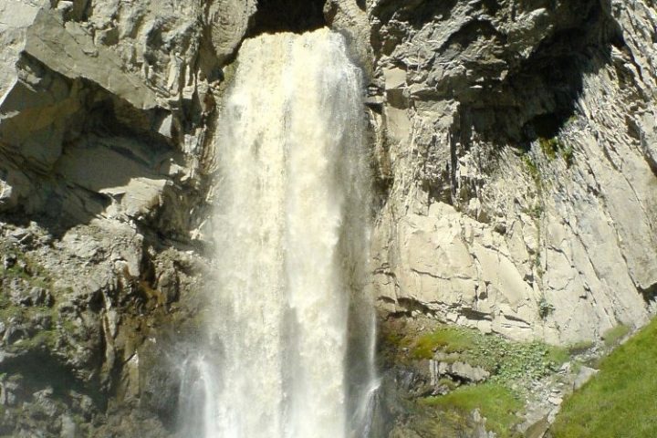
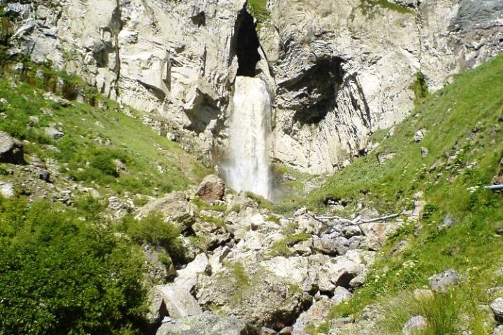
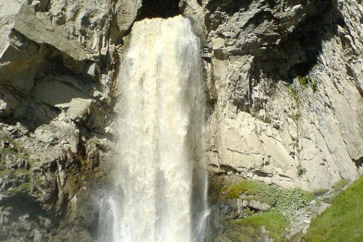
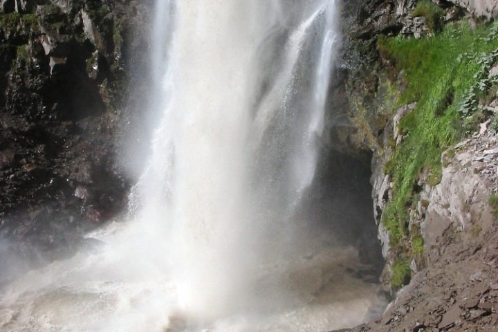
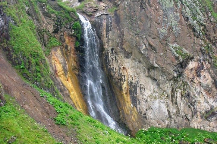
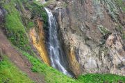
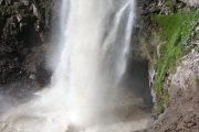
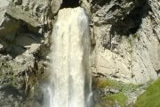
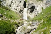
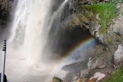
Just near the springs there is a grand waterfall Sultan – an amazing natural monument (35-40 meters high). River Kizil-kol precipitates down from a great height joining the water of river Birghanli-Su at the outlet of the warm mineral springs. A bit further there is one more waterfall – impetuous current falling into the narrow canyon from the height of 27 meters.
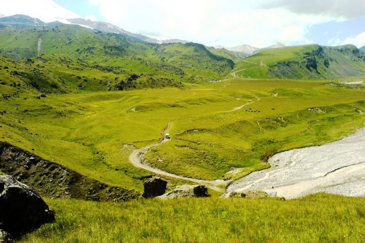
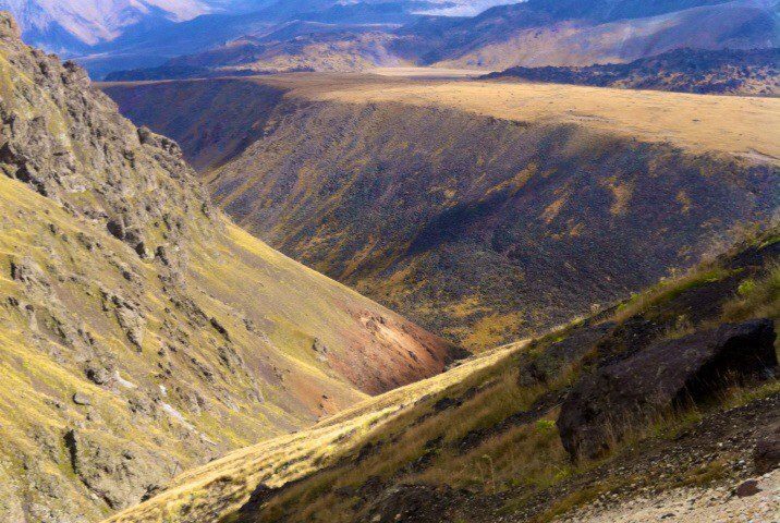
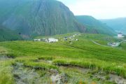
Above the springs, an amazingly beautiful view of the valley of the Malka River.
It’s nice to make a camping near the Dgilisu springs. Near the narzan bathes two rivers – Birdgalisu and Kyzyl-Su that are the sources of the river Malka flow together. We cross over the bridge to the left bank and go along the good path to the mouth step of the high-mountain valley of the Kyzyl-Su River (40 minutes). From here you can see the legendary Elbrus. The mountains around Elbrus seem the hills from here. The Elbrus Slopes are the sources of the rivers of the Malka basin. The square of the contemporary Elbrus glaciers is more than 135 square kilometers.
Further on there is the most highland (2600 m above sea) plateau Irakhin-sirt. It is the place where in 1829 the above mentioned expedition of Georgy Emmanuel (the hero general of the Patriotic War of 1812) pitched the camp. The purpose of the expedition was to “obtain a true information about this country: its mountains, valleys, canyons, woods, pastures, mineral springs and other phenomena of nature…”
The path leads to the summer farmyard situated near the Emmanuel’s Rock, on which you can see the inscription in the memory of the first Elbrus ascent: “From 8 to 11 of July in 1829 the general of cavalry Emanuel had been camping here”. This inscription was discovered by chance in 103 years after by the expedition as the layer of lichens covered it. Now the place is called Emanuel glade and many huts for tourists and climbers.
Here we accommodate in hut.
Day 2: Trek to the glacier.
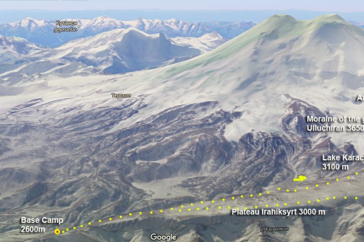
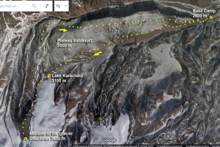
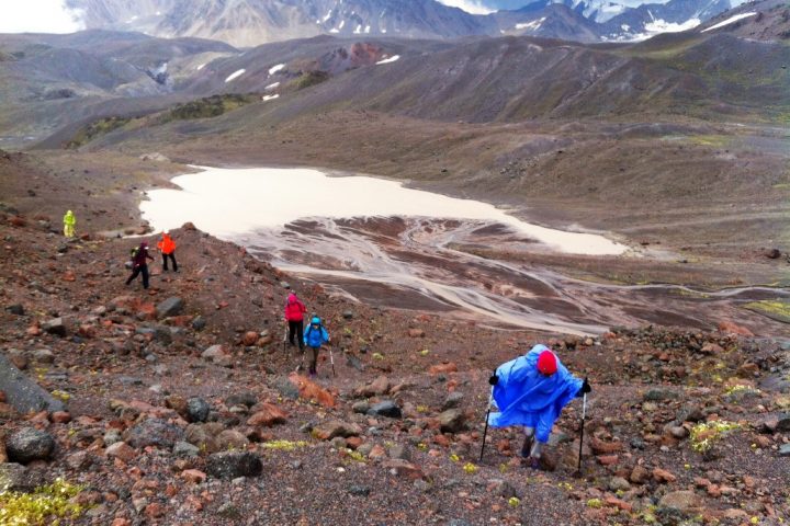
Trek on the plateau Irahiksyrt – till the moraine of Ulluchiran glacier 3650 m.
The route of this day:
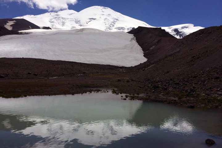
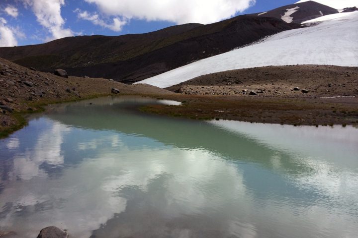
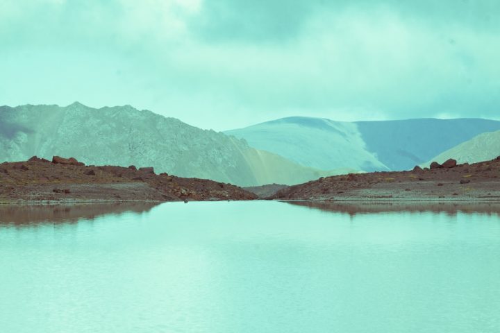
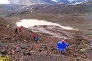
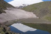
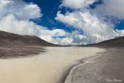
Trekking along the southern edge of the plateau to the lake Karachaul (2 hours, 3,000 m) at the foot of the glacier of the same name. The lake water temperature is higher than the glacial rivers and it can be swim.
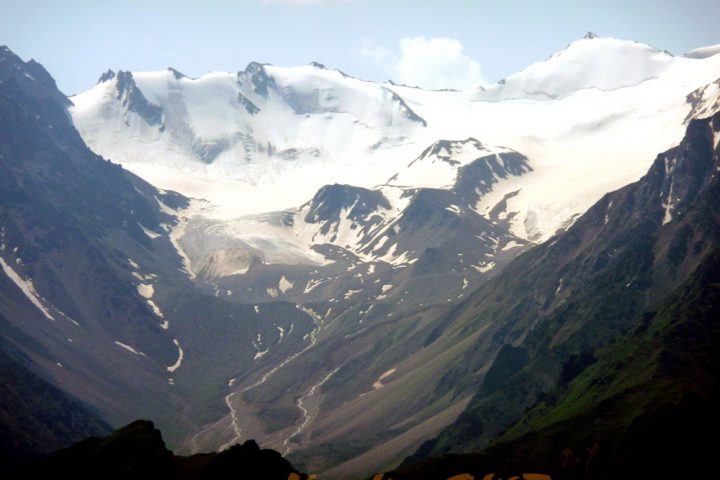
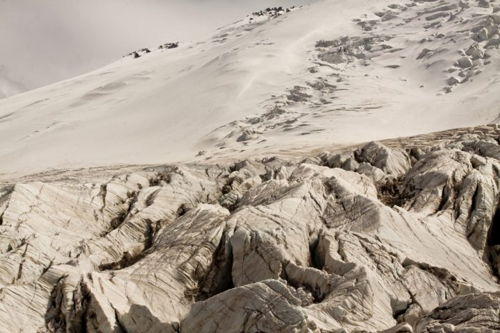
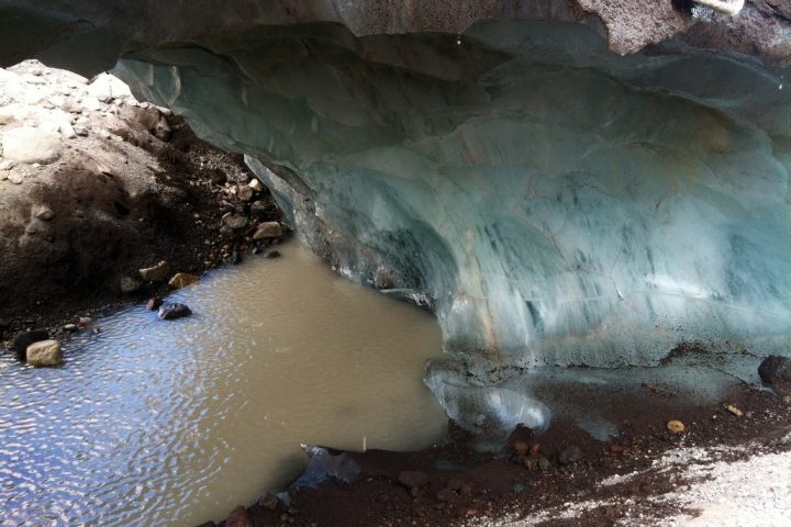
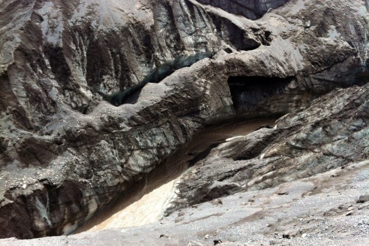
Climbing the moraine to the junction of glaciers Karachaul and Ulluchiran, to a height of 3650 m (another 2 hours). Views of glaciers and great faults with seracs.
Return along the northern edge of the plateau Irahiksyrt to Base Camp.
Time – 9-10 hours.
Elevation: +-1050 m.
The length – 20 km.
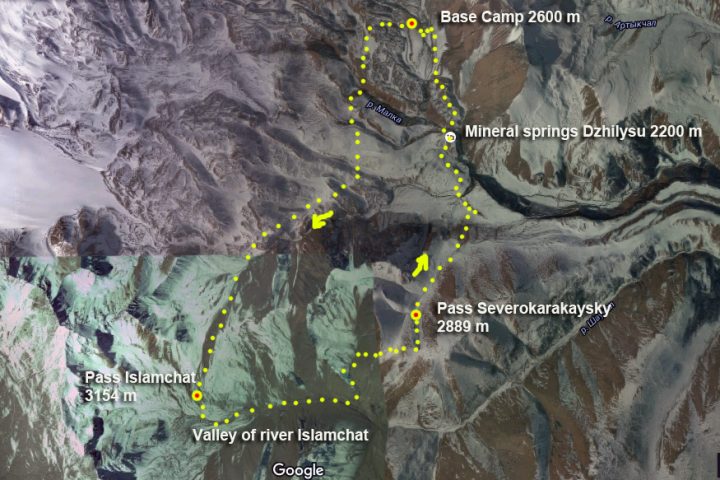
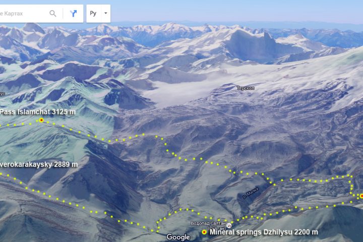
Day 3: Hiking in the valley of river Islamchat
Crossings Gili-su – and Karakaya-su. Hills.
The ascent to the pass Islamchat 3154 m.
The descent into the valley Islamchat. Going down the valley.
The ascent to the pass Severokarakaysky 2889 m.
The descent from the pass, through the valley, descent to the mineral springs Gili-Su.
Back to Base Camp.
Day 4: Hike to the mines on Ridge Tashlysyrt
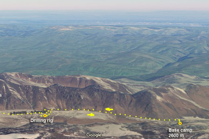
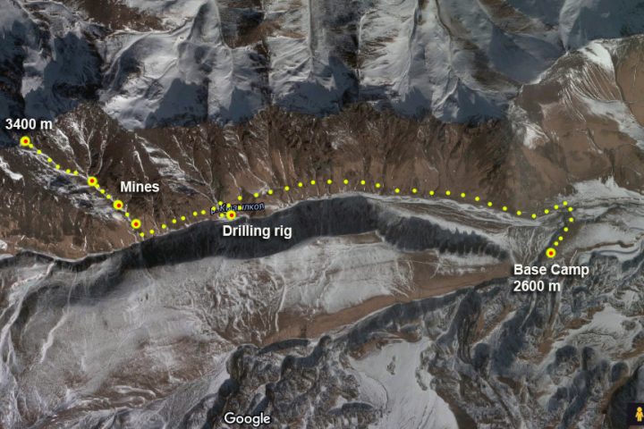
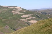
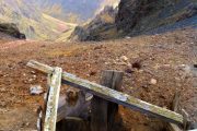
Going on the road, made by geologists, on the left bank of the river Kyzylkol till drilling rig.
Going till the left tributary of river Kyzylkol flowing from the ridge Tashlysyrt.
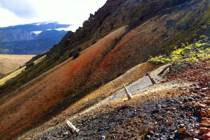
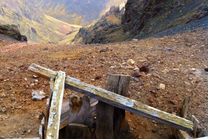
The rise to the couloir, where locates four mines at different heights, the top of which is located at the peak of the ridge at an altitude of 3400 m.
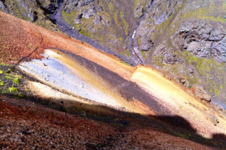
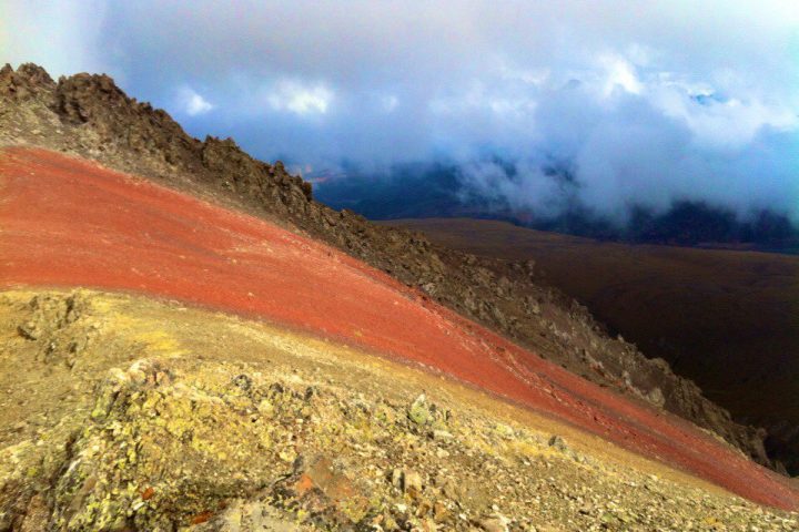
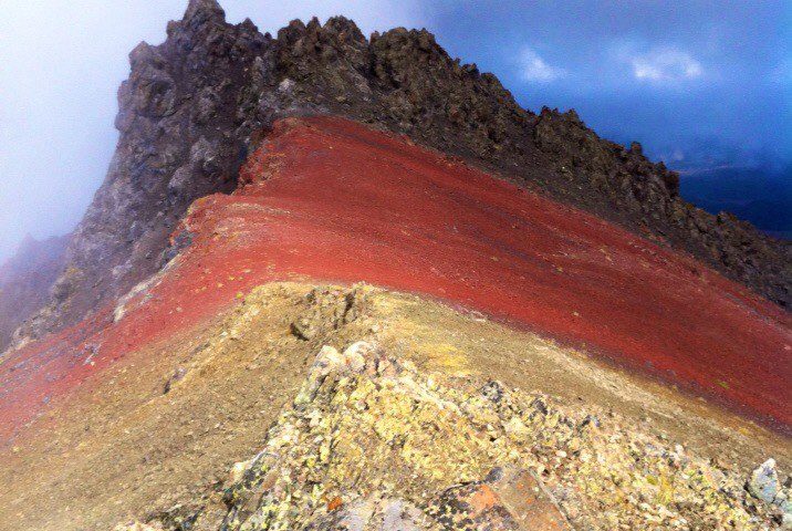
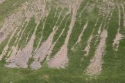
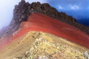
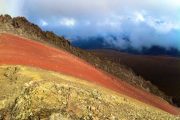
In the couloir on the sidelines there is a set of multi-colored outputs of various breeds.
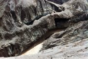
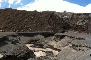
They were looking for iron ore and gold. From rocks here serpentinite, gabbro, lherzolite. Array ultrabasite. Red rock outcrops is weathering crust. It is represented by red and brown hydrohematite and hydrogetige ocher with a high amount of iron with an admixture of chromium and nickel, and refers to the high-grade iron ores.
Descend by the same path, return to the base camp on the same approach route.
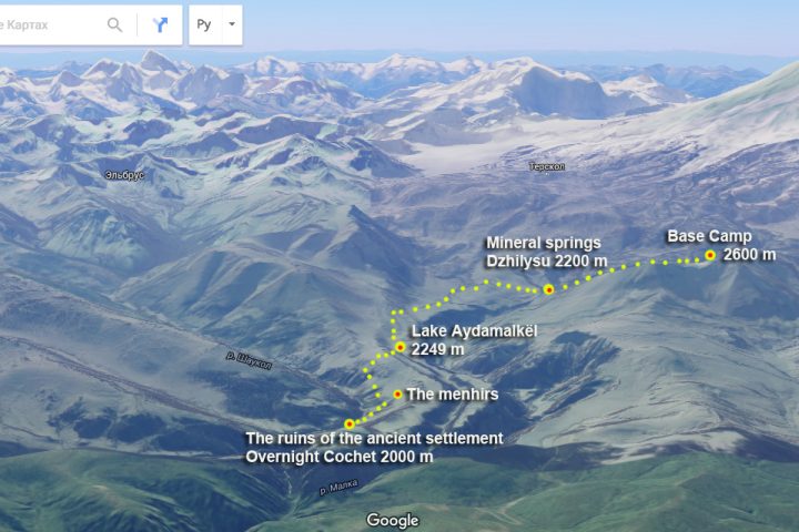
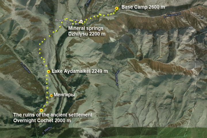
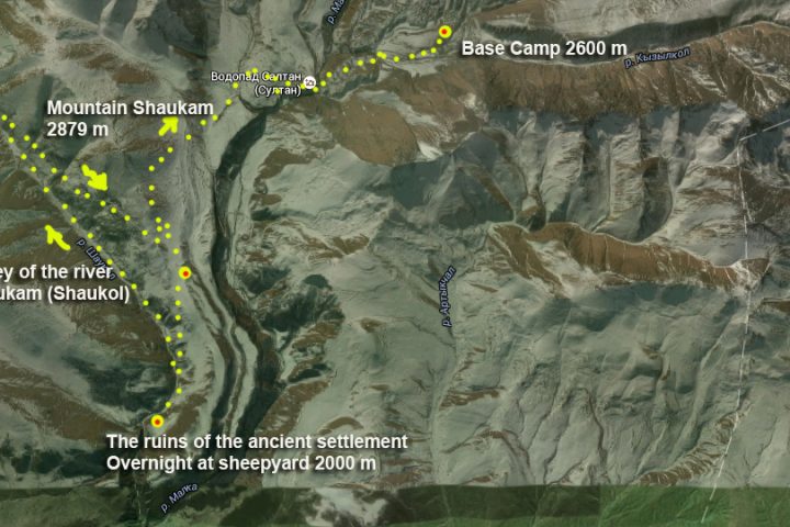
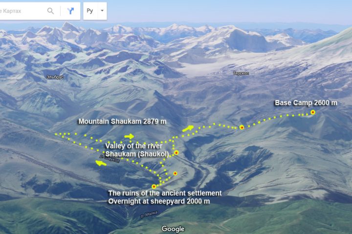
Day 5: Hiking in the Valley Shaukam (Shaukol). Overnight in the farm yard
Descent to Dzhilysu. Going on a good road to lake Aydamalkyol.
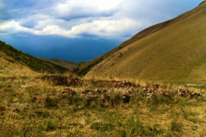
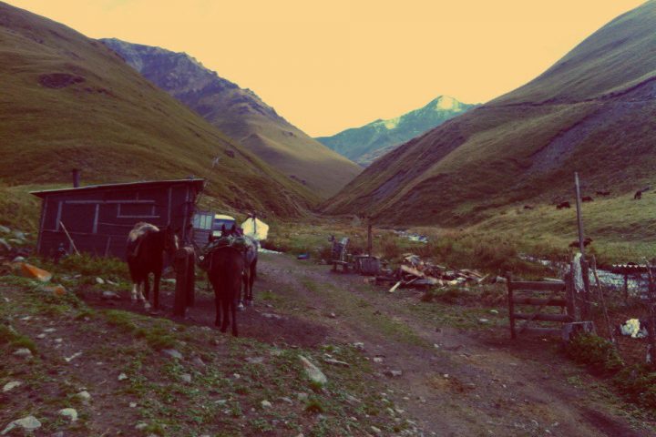
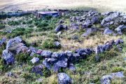
A small hike to the valley of river Shaukam. There are several menhirs here. The ruins of an ancient settlement (probably about 1’500 years). In the vicinity of the valley – birch forests, river – crystal clear and relatively cool with trouts. You can swim there. Overnight in sheepyard. Stunning views of the mount Elbrus from here. The route of this day – is relatively not long and difficult, which in combination with an overnight stay at 2000 m allows you to relax a bit from earlier trekking and gather strength for the next.
Day 6: Going along the valley of river Shaukam until its confluence with the river Islamchat
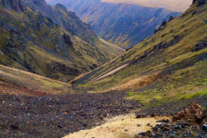
It is difficult to describe the beauty of this valley in words, it is better to just see. Birch forests, sheltered from the outside world with mountains, springs and live the purest water of Shaukam: everything is here. From the mouth of climbing there is a good dirt road (Tyrnyauz – Dzhilysu) to the pass Peresum. Descent to Dzhilysu. Return to base camp.
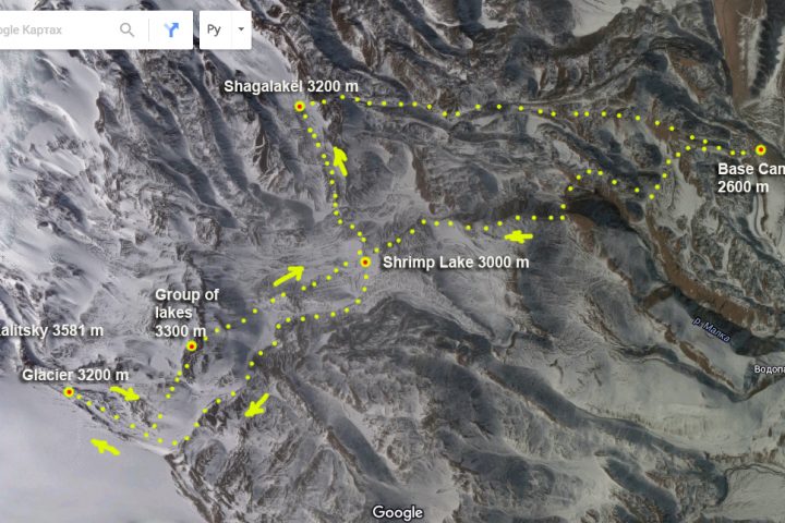
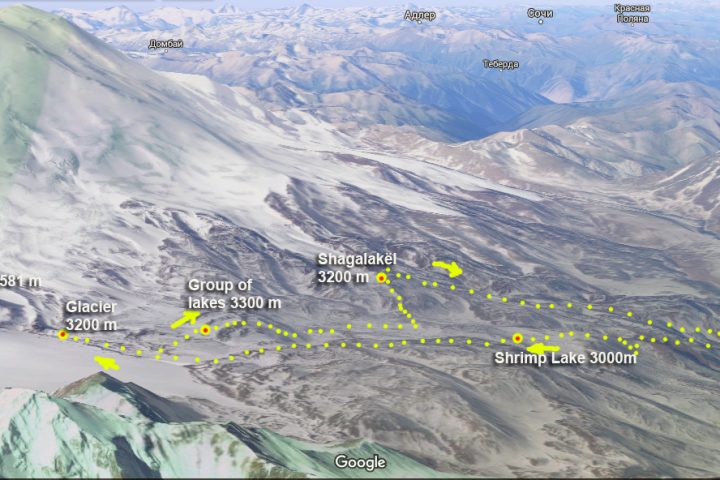
Day 7: Hike to the peak Kalitsky with visiting of some lakes
The route of this day:
At the beginning of the route – crossing the river Dzhilysu. Then along the way – the shrimp lake, a small clear lake with a rich fauna, at an altitude of 3000 meters – a colony of thousands of shrimps and all sorts of underwater beetles.
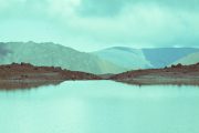
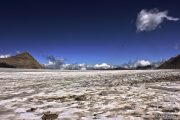
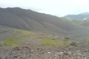
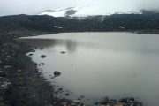
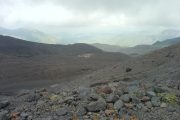
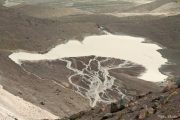
Crossing to the foot of the peak. The landscapes in the area between “river Dzhilysu – peak Kalitsky” more like Mars or the Moon than the Earth. On the way back, there is a small rise to a group of lakes located near the peak. The descent to the riverbed Dzhilysu. Along the way another two small transparent lakes. The ascent to the lake Shagalakel, subglacial lake of glacier Birdzhalychiran. This is one of the largest lakes in the area.
Returning to the base camp over the hills.
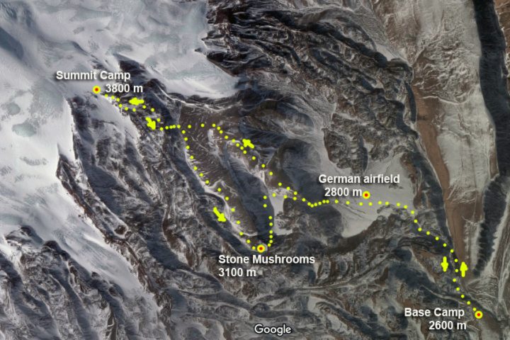
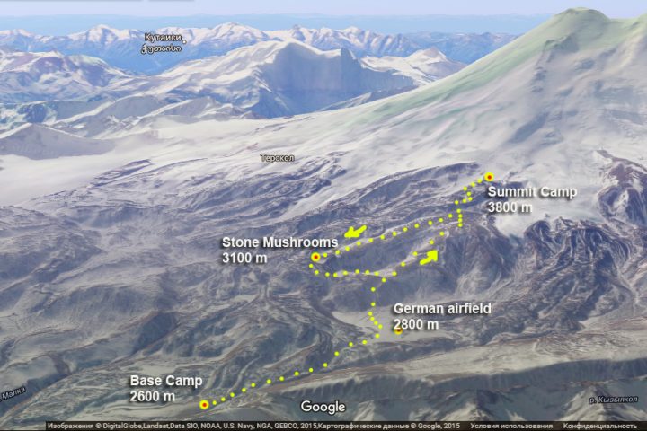
Day 8: The ascent to the summit camp at 3800 on route Elbrus climb from the North
The route of this day:
The entire route ascent coincides with the classical route of ascent to high camp on this side of Mount Elbrus. On the way is “German airfield” (according to legend, Hitler sent here Tibetan lamas seeking exceptional opportunities of forces and allegedly landed the planes). Moon glade – a large field covered with volcanic rock obsidian. A visit to the summit camp.
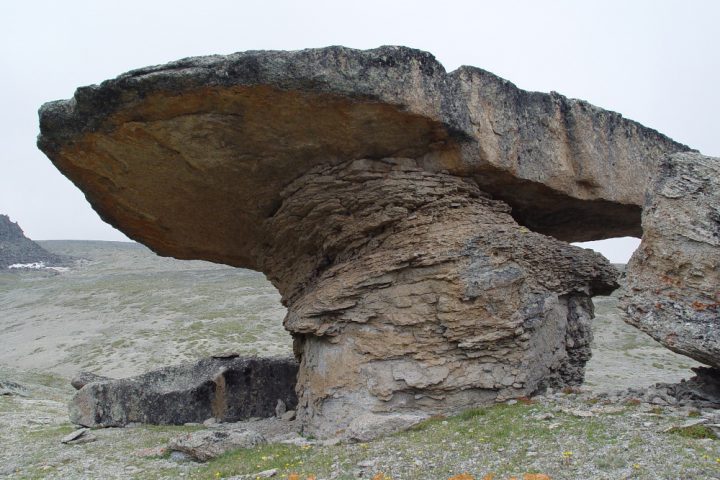
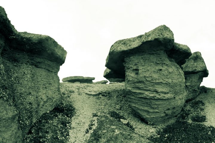
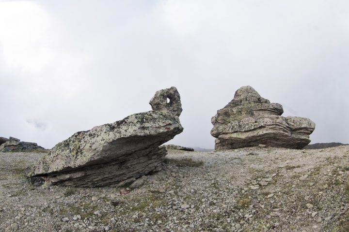
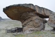
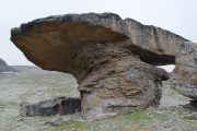
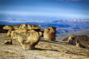
On the way back – hiking to Stone mushrooms – mysterious unusual formations, shaped very much like a giant mushrooms. The descent to the “airfield” through two small fields, on one of which those “Lama” alleged shaman and sorcery made.
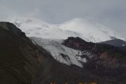
After the small ascent the path crosses the plateau from east to west. This alpine grassland is a good pasture. From here you can see the northern Elbrus glaciers: Ullu-Malgan-Chyran, Ullu-Kol, Kara-Chaul. At the right there is (in front of Elbrus) the meridian range – Tashly-Syrt.
After 2 hours walking you can see all the northern spurs of Elbrus coming to the Tashly-Syrt Range. In its upper part above the Ullu-Chiran Glacier, which is the source of Kyzyl-Su River, is located the Balk-Bashi Pass. In this spur but more lower directly from the motion direction is located the simple Buran-Tash Pass (3086 meters). Across this pass the way leads to the Hydes valley. The river Hydes is the right tributary of the Cuban River. This ancient path leading to the aul Hurzuk has the name Sut-Dgol, which means “the milk road”.
The next interesting object is a top secret airfield, which local shepherds call «German» (2900 m). This is an absolutely flat land, as if made by nature for some mysterious projects. It is 300 or 400 meters wide and over 1 kilometer long. Being there, at the foot of Elbrus, you are as if rooted to the spot being struck by the grandeur of the place: the peaks of Elbrus are incredibly close; a fantastic store of lava in front of them, as if the bizarre workmanship of some Hercules; the endless field extends up to the steep ridge with the «Mushroom Field».
The interest of Adolph Hitler to Tibet is widely known as well as his great interest to Elbrus. Exposed to mysticism, Hitler was simply possessed by Elbrus – the sacred mountain of Aryans. Here is an extract from the book by L.Peauvel and J.Bergier: “When … German troops invaded Caucasus a strange ceremony took place. Three SS mountain climbers ascended Elbrus – the sacred Aryan mountain, the cradle of ancient civilizations, the magic top of the “Lucifer’s Friends” sect. They erected there the banner with swastika… It should have marked the beginning of new era. From that time the seasons should have obeyed the conquerors and fire must have won ice” (Peauvel L, Bergier J. The Morning of Magus: the Power of magic cults in Nazi Germany. M., 1992. P.46).
Numerous stories about German aerodrome, about enigmatic passengers brought to the foot of Elbrus, of their meditation, prophecy and following death are often among the natives, tourists and mountain climbers. Is it really an aerodrome is an arguable question. But sometimes imagination and rumors are better arguments. More than that. There is a lot of “data” about UFO watched over this place. You can get the information about it in the WEB. But according to the natives there are still plenty of places in Gili-Su inaccessible to man. And they still keep their secrets.
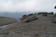
Descent to the Base Camp. On the way down, a transition along Moon glade to Stone Mushrooms — mysterious unusual formations, shaped very similar to giant mushrooms. Descent to the airfield through two small picturesque glades. In the Base Camp — lunch, packing clothes.
Day 9: Prepare for the departure. Transfer to Nalchik
Transfer to Nalchik or MinVody. Hotel accommodation. On this day we can visit hot springs near Nalchik or further to canyon till “Blue Lakes” but for extra cost.
Notes. The Dgilisu valley (“Warm Waters”) is known as a public balneological health resort. Long since the mountaineers knew about the medicinal properties of these mineral springs and used them. Now the Dgilisu springs are two thick springs with pools for the bathing with the constant temperature of water 22.4 degrees above zero. In spite of ways difficulties, high altitude (2,380 meters) nearness of Elbrus glaciers and the primitive state of life and treatment the resort visitors always get easing here.
A healing, curative power of Gili-Su springs seems unbelievable: their water cleanses the organism from slags; induce inner energy; rise life tone; improve general state; make your eyes sharper. Gili-Su is not only mineral healing springs but a wonderful microclimate as well. It is a kind of natural inhaler. Air here is absolutely pure. You can’t but enjoy it.
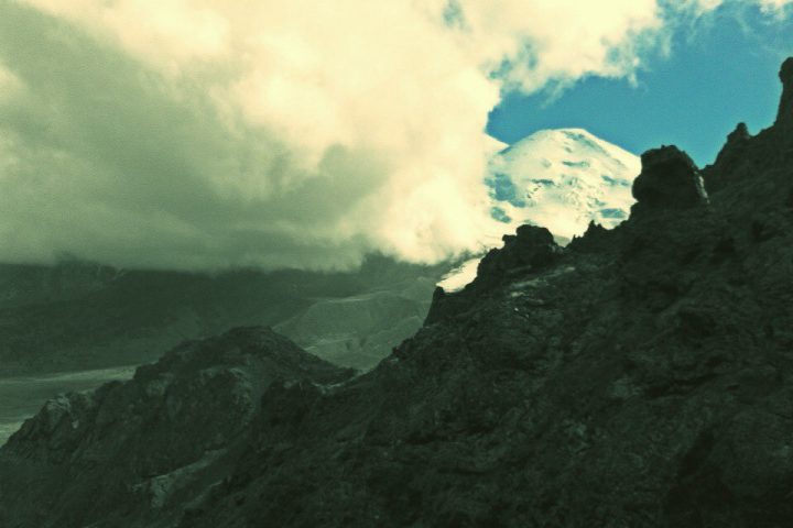
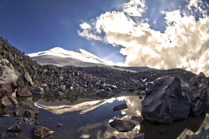
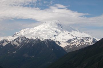
But the main wonder of this place is, of course, Elbrus. It is beyond comparisons, above understanding. Matchless. Elbrus is tender pink at dawn, dazzling white – at noon, bluish black – at midnight. Ancient and newly-born, constant and changing, calm and challenging..
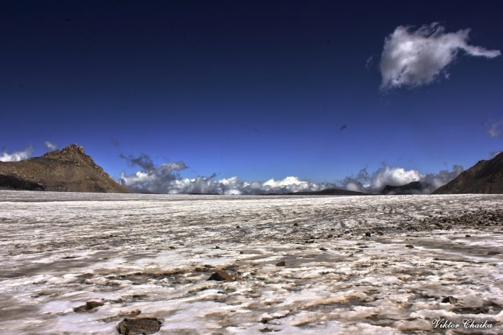
One of its “minor” wonders – a masterpiece of nature. We can’t help admiring it. We can not even enumerate all its peculiarities. Here are only some of them: lava dike in the valley of river Karakaya-Su; the moraine glacier deposits; 20 meters high ice wall on the tongue of the glacier Ullumalienderku; ice plateau with the peak of Kalitsky; the glacier Mikelchiran going down right into the lake…
We can only mention here some ancient inscriptions on the rocks of the northern slopes of Elbrus accessed to the people of those days; of the caves containing family burials; of some burials where remarkable skulls – “unusually long, with big foreheads” – were found. By the way, there are only three places in the world with the finds alike: they are in Peru, Egypt and Siberia.
North Elbrus may be really called a splendid mystery itself.
Day 10: Transfers to airport
*The tour can be realized with a group from 4 pax.
Tour price includes:
Campsite Huts on Emanuel glade 2600 m according the program 8 days;
Hotel in city Nalchik, according the program 1 day including breakfast;
All meals: cooked meal everyday with packed lunches;
Qualified guide-instructor;
Cook in base-camp;
Transfers to/from airport.
Additional costs:
personal equipment rental.
| PRICE | 95’000 rubles per person | |||||
| DEPARTURE TIME | any day by booking | |||||
| DURATION | 10 days / 9 nights | |||||
| NUMBER IN THE GROUP | from 4 pax | |||||
| INCLUDED IN THE PRICE |
|
|||||
| ADDITIONALLY PAID |
|
|||||
| You must have all gear enumerated in equipment list. Important to know! If weather conditions are unfavorable for the tour, then changes to the planned route are possible, including the day and time of departure. |
||||||
Booking
| SERVICES | STANDARD |
| All transfers: from Min Vody airport to hotel and back to airport; from hotel to north side of Elbrus and back to hotel. | |
| Accommodation in hotel in city Nalchik, according the program 1 day including breakfast. | |
| Campsite Huts on Emanuel glade 2600 m 8 days | |
| All meals in base camp: cooked meal everyday with packed lunches. | |
| Cook in base-camp with all kitchen stuff. | |
| Qualified guide-instructor for all treks. | |
| Visa support, park fees, registrations. | |
| Rent of group equipment | |
| Rent of personal equipment. | |
| Dinners and lunches in the cities. | |
| Accident insurance. | |
| TOTAL PRICE | 95 000 Rubles |
List of personal trekking equipment
Clothes and shoes
Cap / panama hat
Jacket, windproof coat, light.
Lightweight shirt with long sleeves (protects against burning of the arms and neck)
T-shirt
Hiking pants, light
Socks
Flip flops
Hat, gloves
Waterproof clothing and/or raincoat
baseball cap for trekking (with protective brim covering the neck from the sun).
Fleece cap.
Balaclava
Thermal underwear.
Fleece 2 pcs (thin and thicker)
Fleece gloves.
Trekking socks (medium and thick) 2-3 pairs.
Equipment
Trekking telescopic poles (rental included)
Trekking boots
Jacket Gore-Tex or any other membrane
Pants Gore-Tex or any other membrane
Alpine sunglasses (protection 3-4)
Backpack 30-40 l.
Thermos 0.5-1 l.
Safety & Personal Care
Sunglasses
Toilet paper
Shoe dryers
Sunscreen and lipstick (Prot 50).
Individual first aid kit. Mandatory: elastic bandage, plaster.
Personal care products
Plastic bottle 0.5 l (for drinking water on the route)
Mug, spoon, knife (for lunch in the mountains for tea, a non-breakable mug)
Torch
Backpack for walking (20-25 liters). In the backpack — personal belongings of the tourist and public products for lunch, which are issued by the instructor (400-600 gr)


 +7 928 691 44 05
 Russia, KBR, city Nalchik


