+7 928 691 44 05
 Russia, KBR, city Nalchik


Route to Syltrankel — a beautiful lake
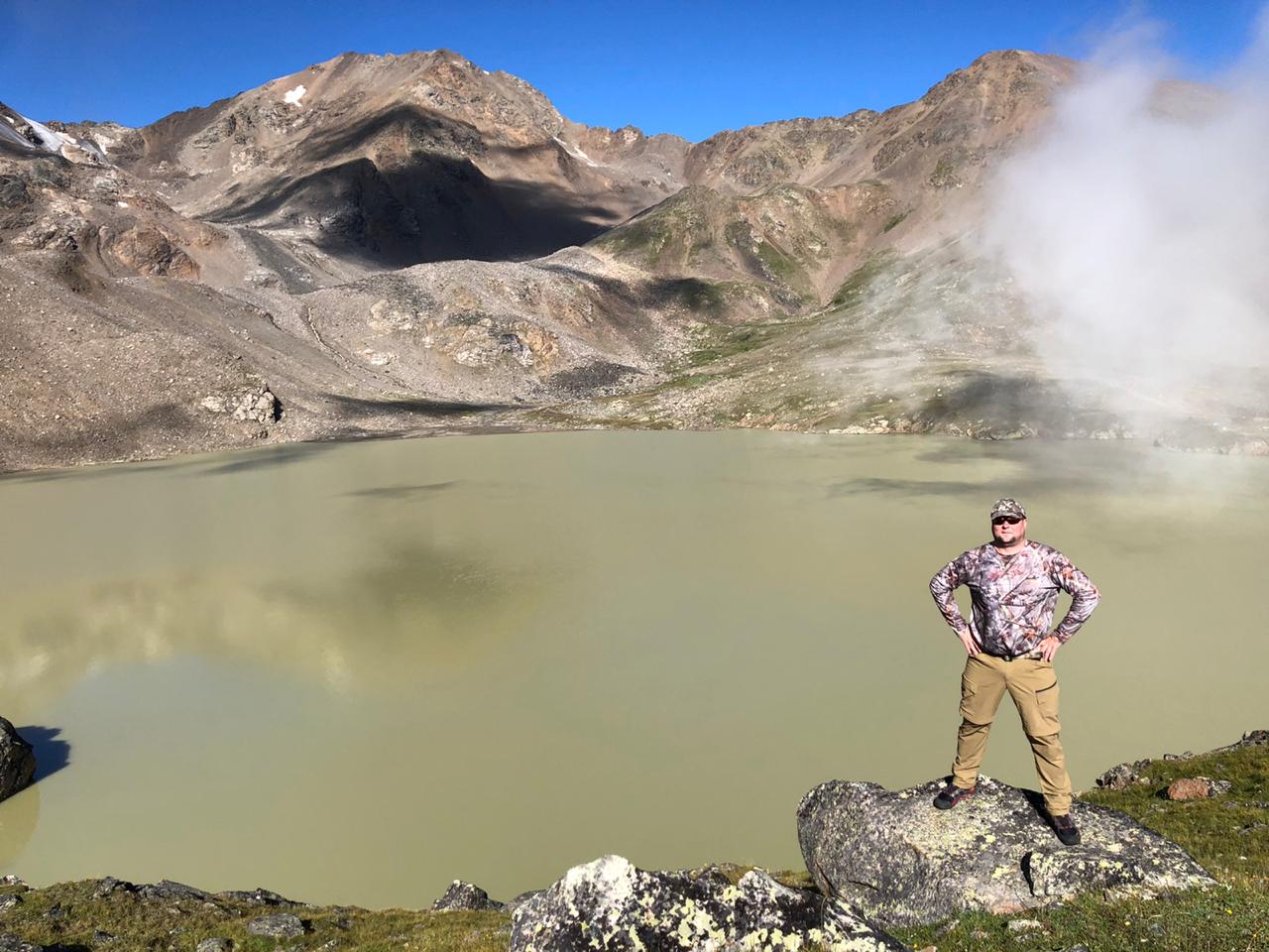
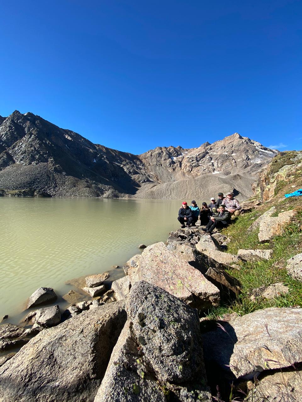
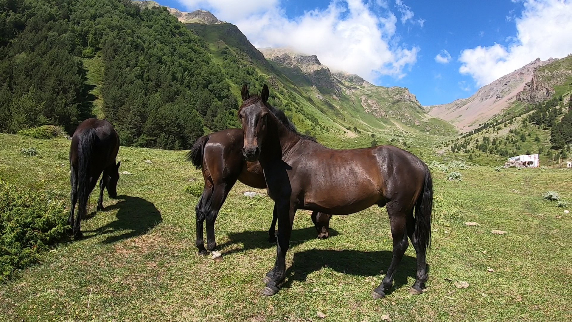
Syltran-kel is one of the largest alpine lakes in the Elbrus region: its area is almost 30 hectares, located in Kabardino-Balkaria at an altitude of 2950 meters in a basin between the peaks of Syltran and Mukal.
(vil. Verhny Baksan – the Syltrankel Lake – the Syltran pass – vil. Verhny Baksan)
There are two options: 1 — radial, 2 – round trip. Both options involve the use of a 4 wheel vehicle till glade 2300 m.
Option 1: Radial.
The route vill. V.Baksan – lake Syltran – vill. V.Baksan (18km, 6-7 hours, altitude drop 1500 m). From village Verkhny Baksana (1600m) we ascent by 4×4 car till pine forest and stop at the meadow (2300 m). Further along the road we leave the forest, cross the river Syltran and continue to move on a good path along the creek. We go up to the first stage (2600 m, 1.5 hours). Further the canyon narrows and the trail become steeper. Overcoming the second stage and come to the lake Syltran (3050 m). Here, rest and lunch. Possible rise to the pass Syltran (3441 m, 1 hour). From cars to Lake 3-4 hours. Descend along the ascent to the car 2-3 hours.
Option 2: Round trip.
The route V.Baksan- lake Syltran – pass Syltran — Valley Kyrtyk — V.Baksan. (46 km, 7-8 hours). The start of the route as in option 1 till pass Syltran. Then the descent from the pass Syltran first along river Mukal, further along river Mkyara to its confluence with river Kyrtyk (2481m). Cross the Kyrtyk river through the bridge. Next to the bridge is waiting a car. We go down, make a stop near mount Ulla-kaya, then down to the village.


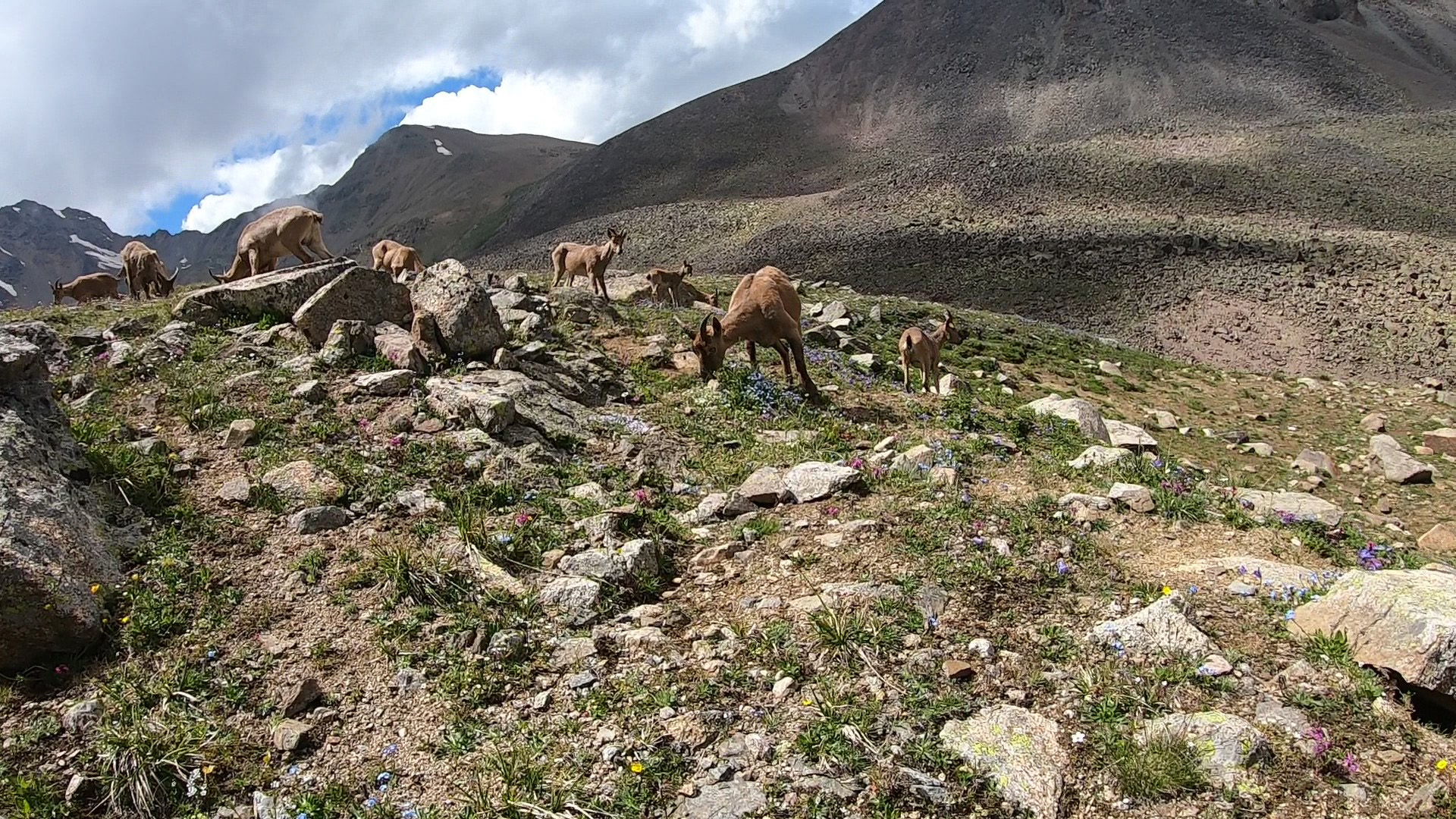
The hike will get acquainted with one of the largest and most beautiful high-mountainous lakes of the Elbrus region.
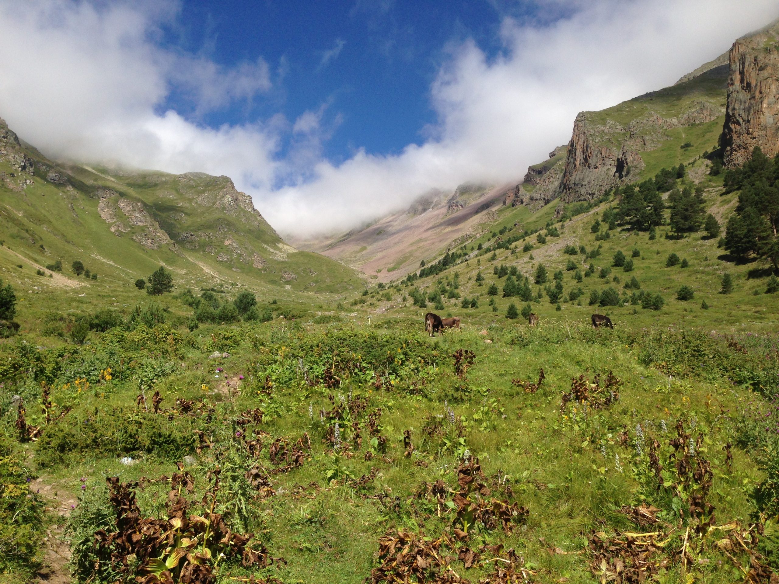
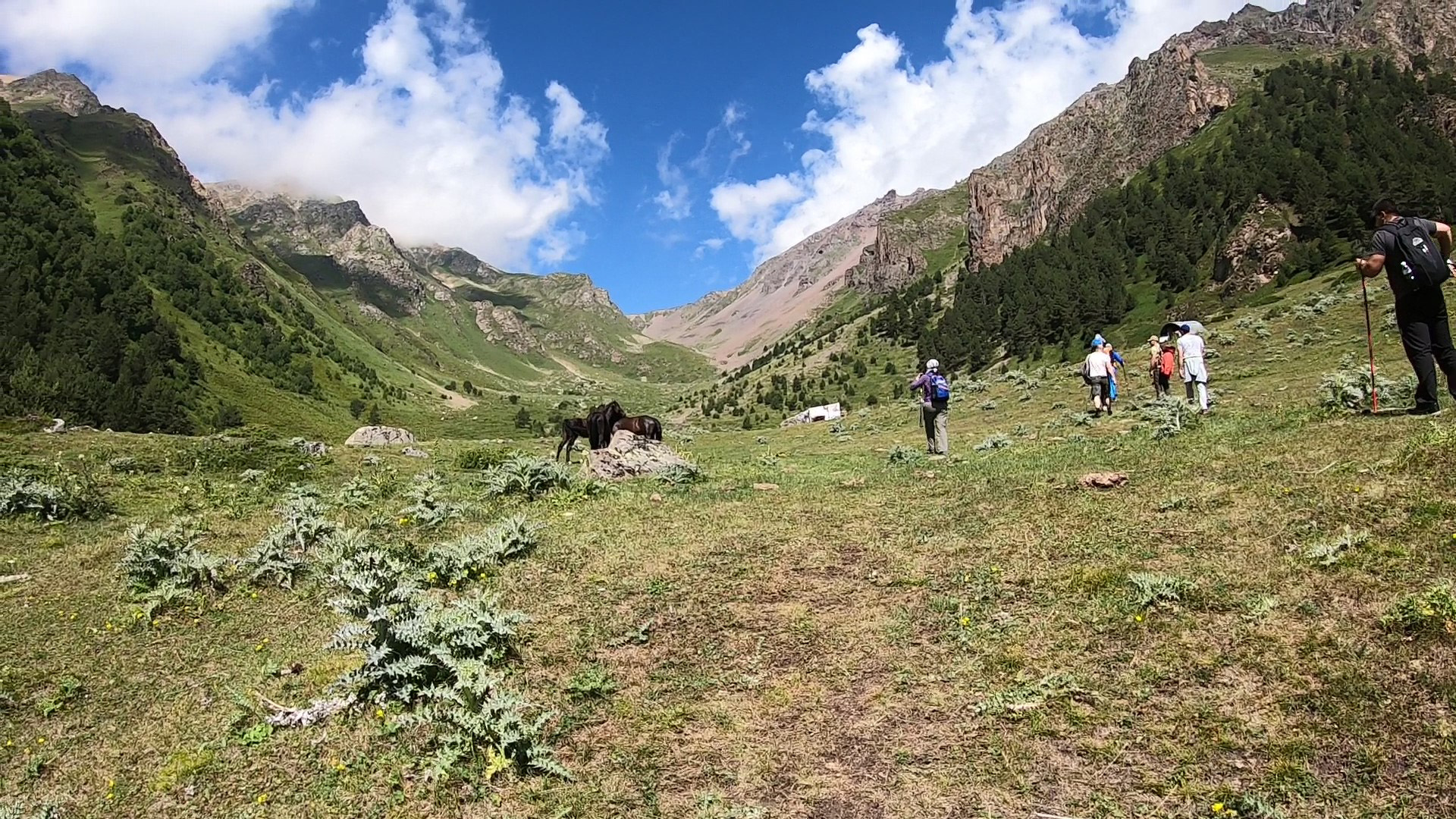
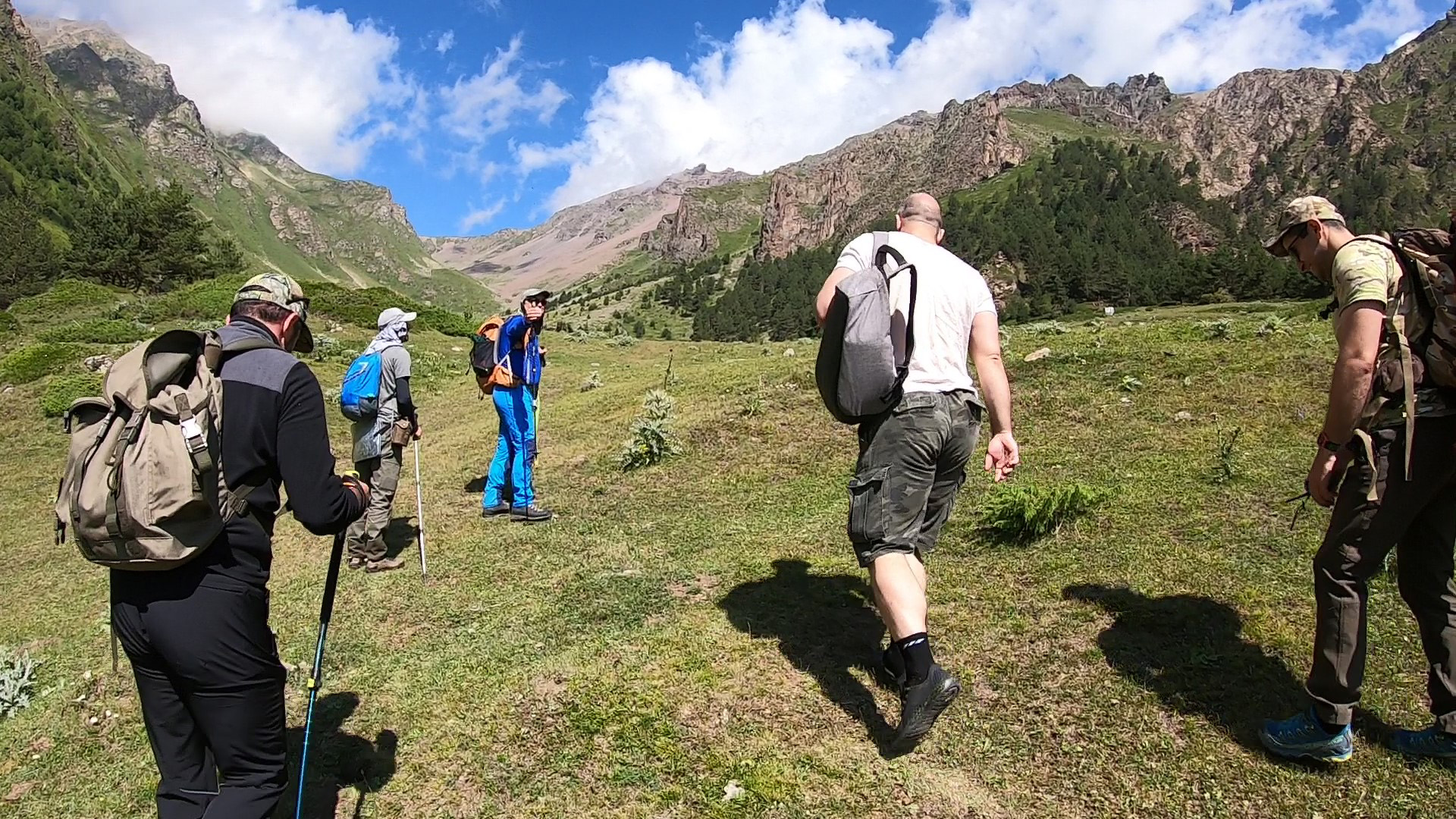
From the northern outskirts of the Verhny Baksan village begins a rise on a well-developed path to the left on a course, onto a vast herbaceous terrace of the mouth step of the glade of the river Syltransu.
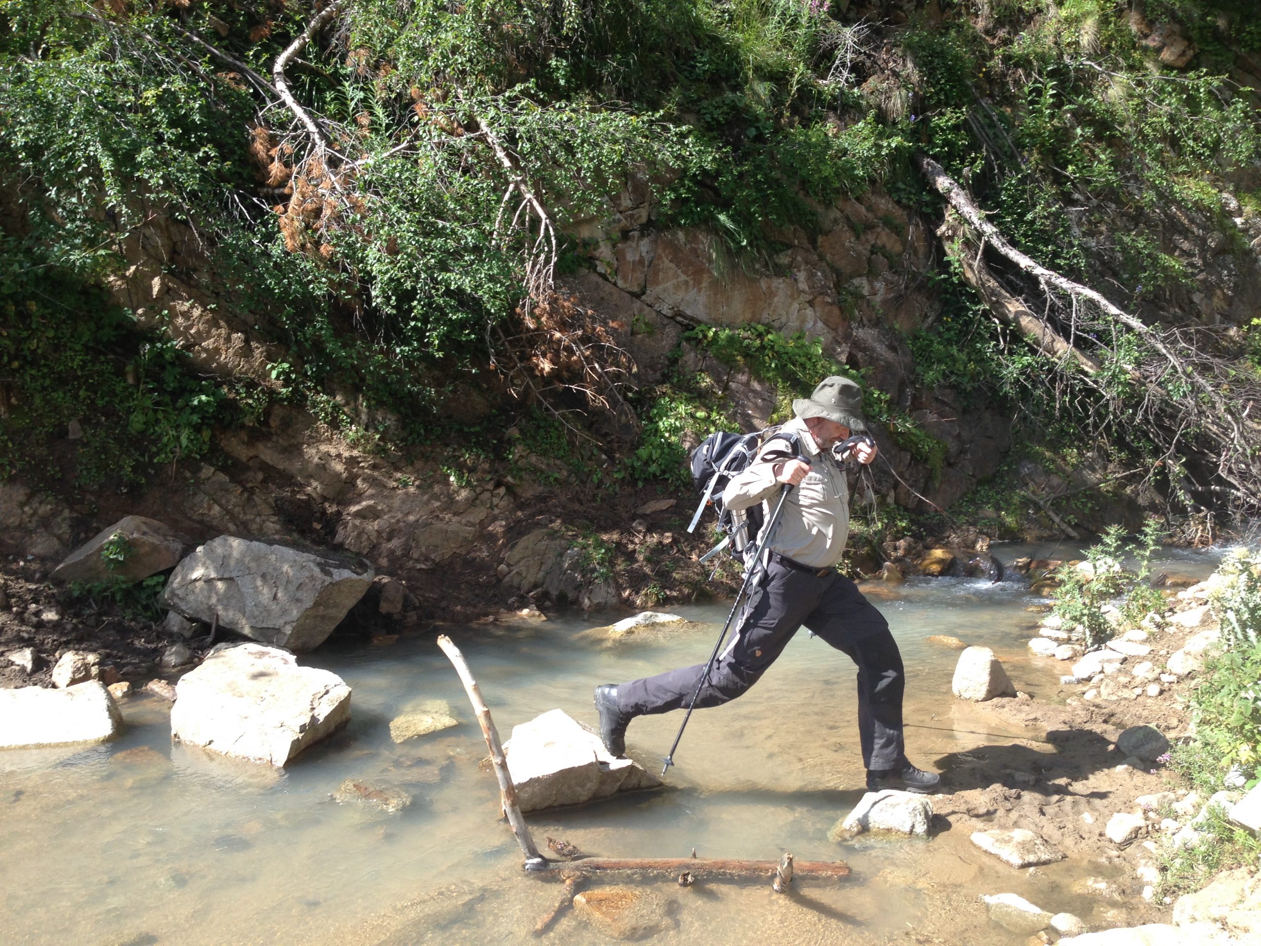
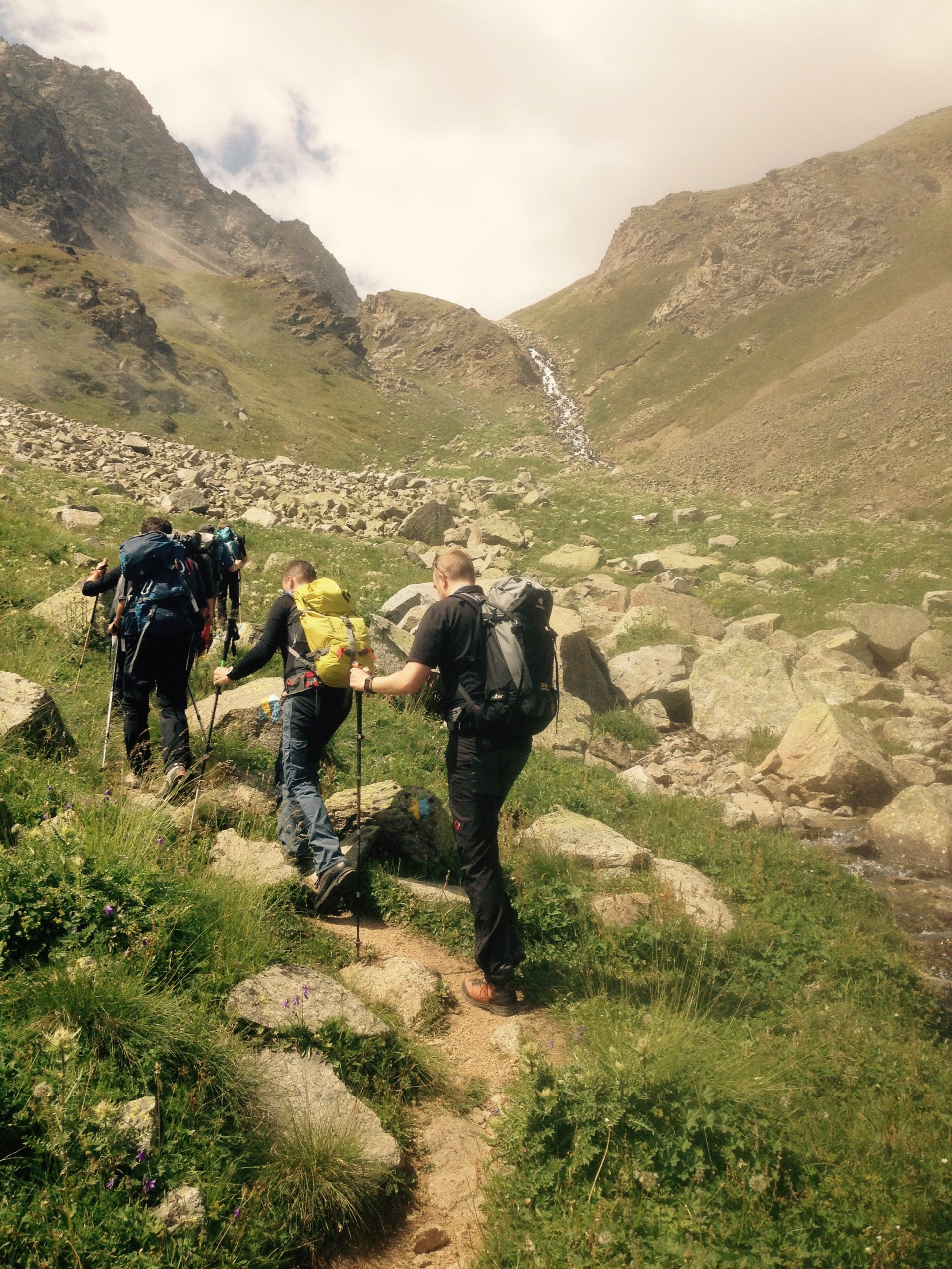
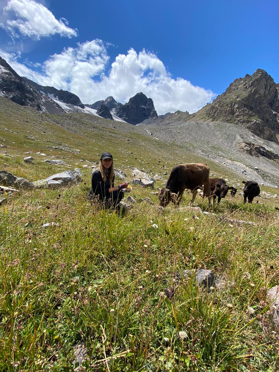
On the right in a steep rocky canyon flows the river. One must go in the direction of the forest. On the way there are large piles of stones, probably, ruins of constructions. The path enters a pine forest and like a hairpin bend road mounts a starboard of the glade. It breathes easily by fresh tarry air, the silence of the forest is disturbing only by singing of the birds. In 2,5 hours the tourists leave to the tumbled down forest – a trace of winter avalanches, and then they descend a flat bottom of the glade in the middle flow of the river. About the path there are places for a bivouac and a clean spring. On the terrace of the right bank there is a summer house of shepherds.
The forest remains only on the slopes. The path prolongs a rise along the bottom of the glade to a small green spur sectioning the glades of the Syltransu river (on the right on a course) and its small tributary. We mount the spur and traversing its slope we come nearer to the river.
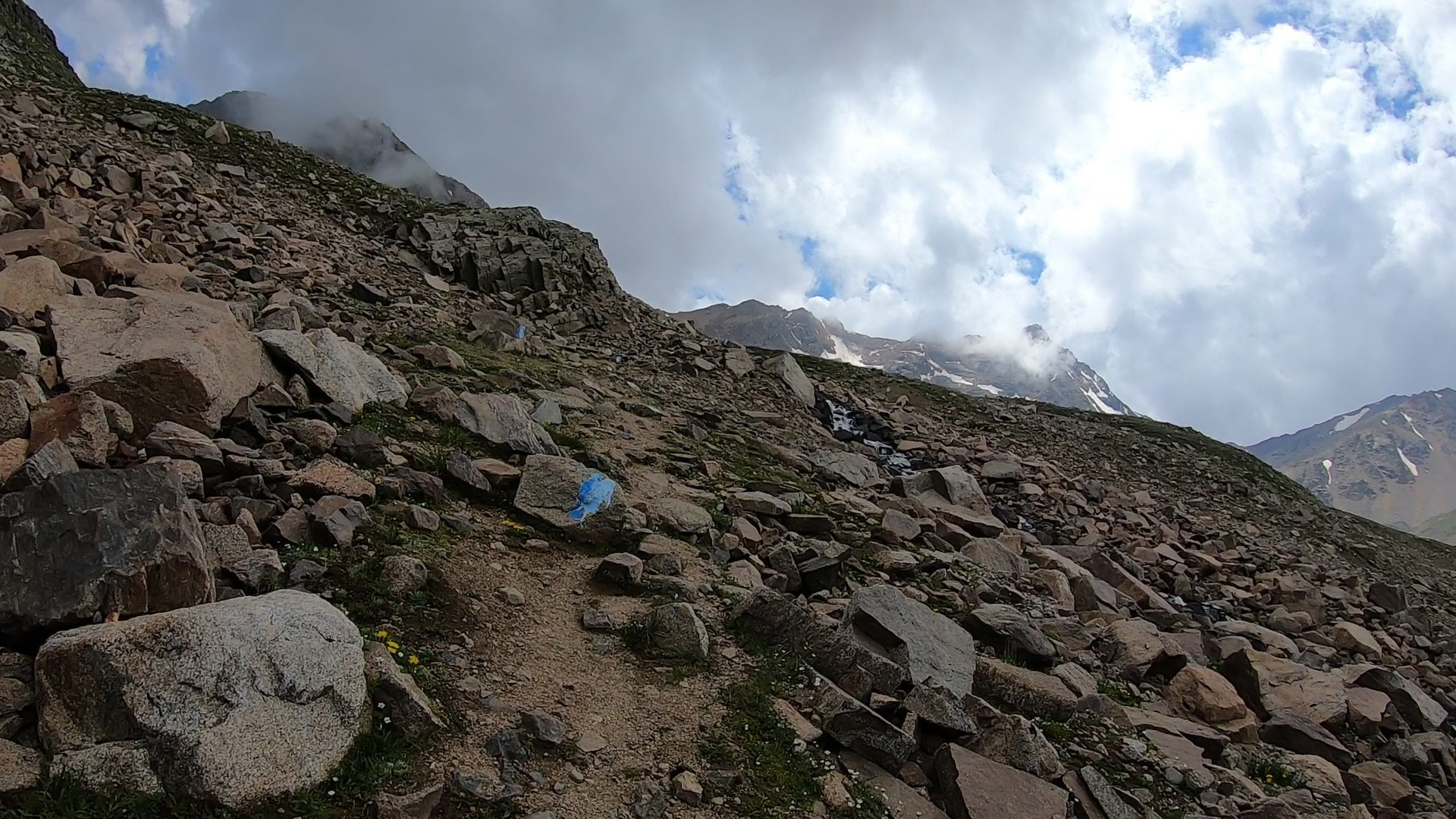
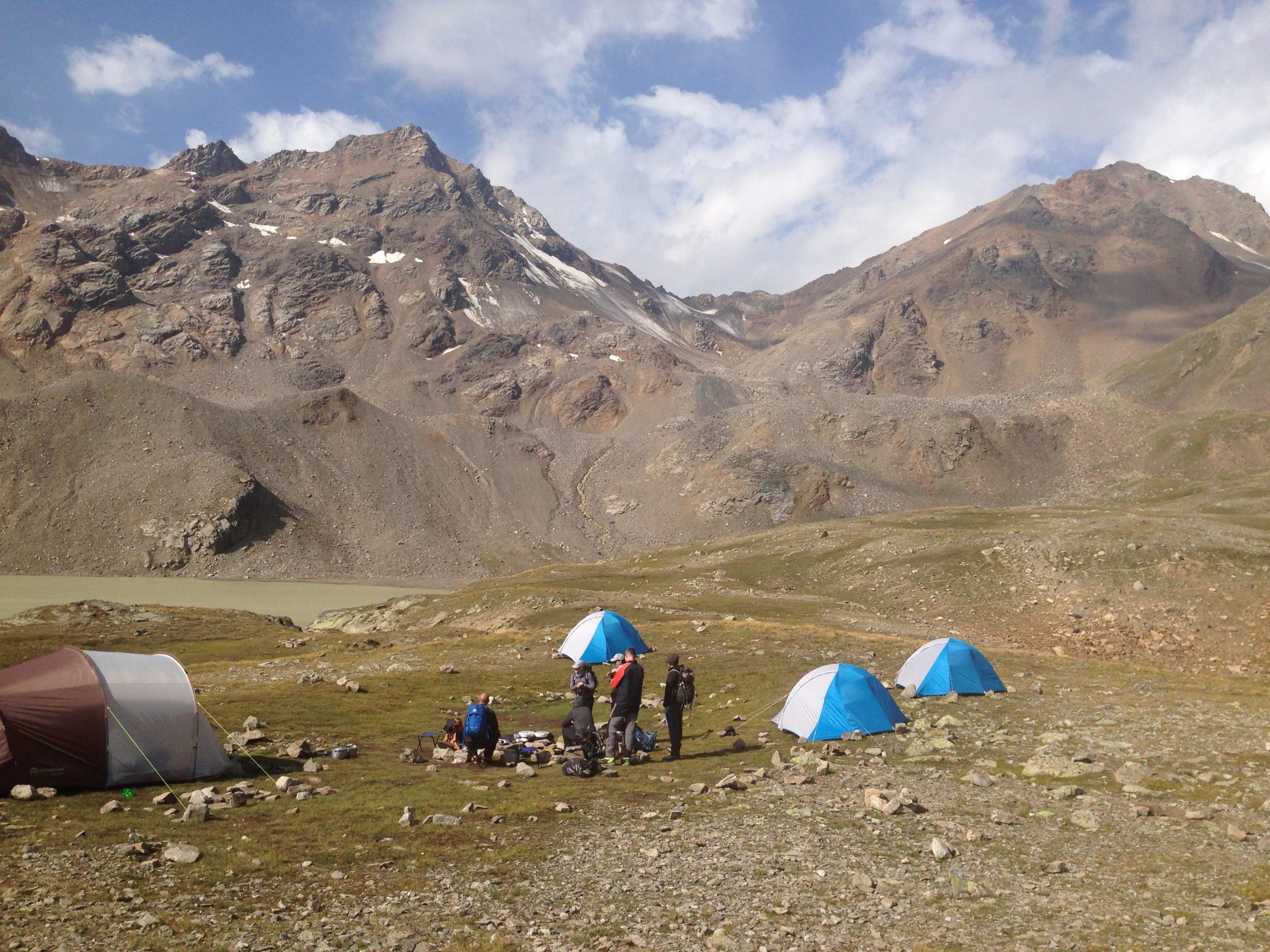
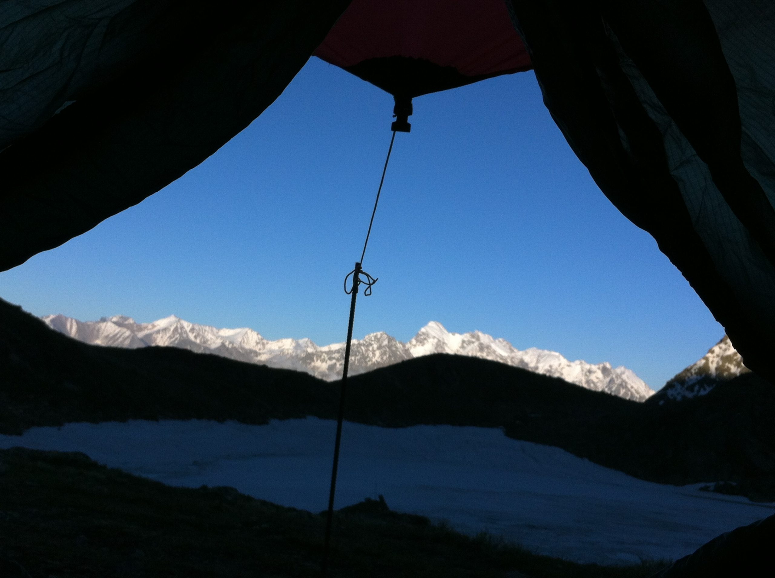
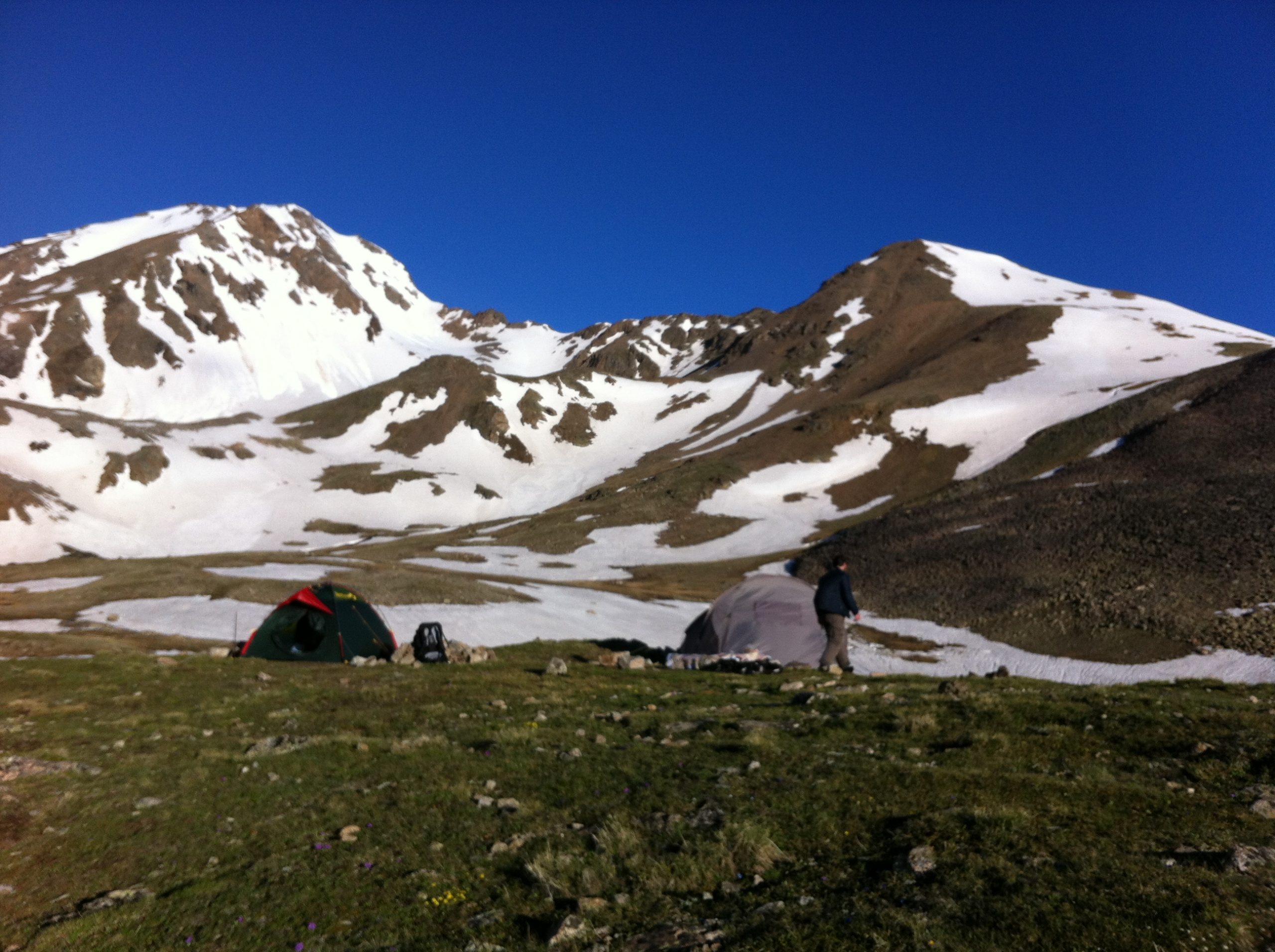
Steepness of the slopes is about 20 degrees. Along the right bank leave for a rocky massif. Going round it on a path, at the left on a course, mount a small herbaceous terrace surrounded by screes – the second step of the glade. Here, at the altitude of about 2600 m, one can pitch a camp. Road from the village will take about 5 hours. The river disappears in the rocks for a short while. In front of it is seen a massif of the destructed rocks – an ancient ice threshold being a natural weir formed a lake. It can be passed on the screes (traces of the path) on the right on a course along the river flowing out from the lake up to one and a half of an hour.
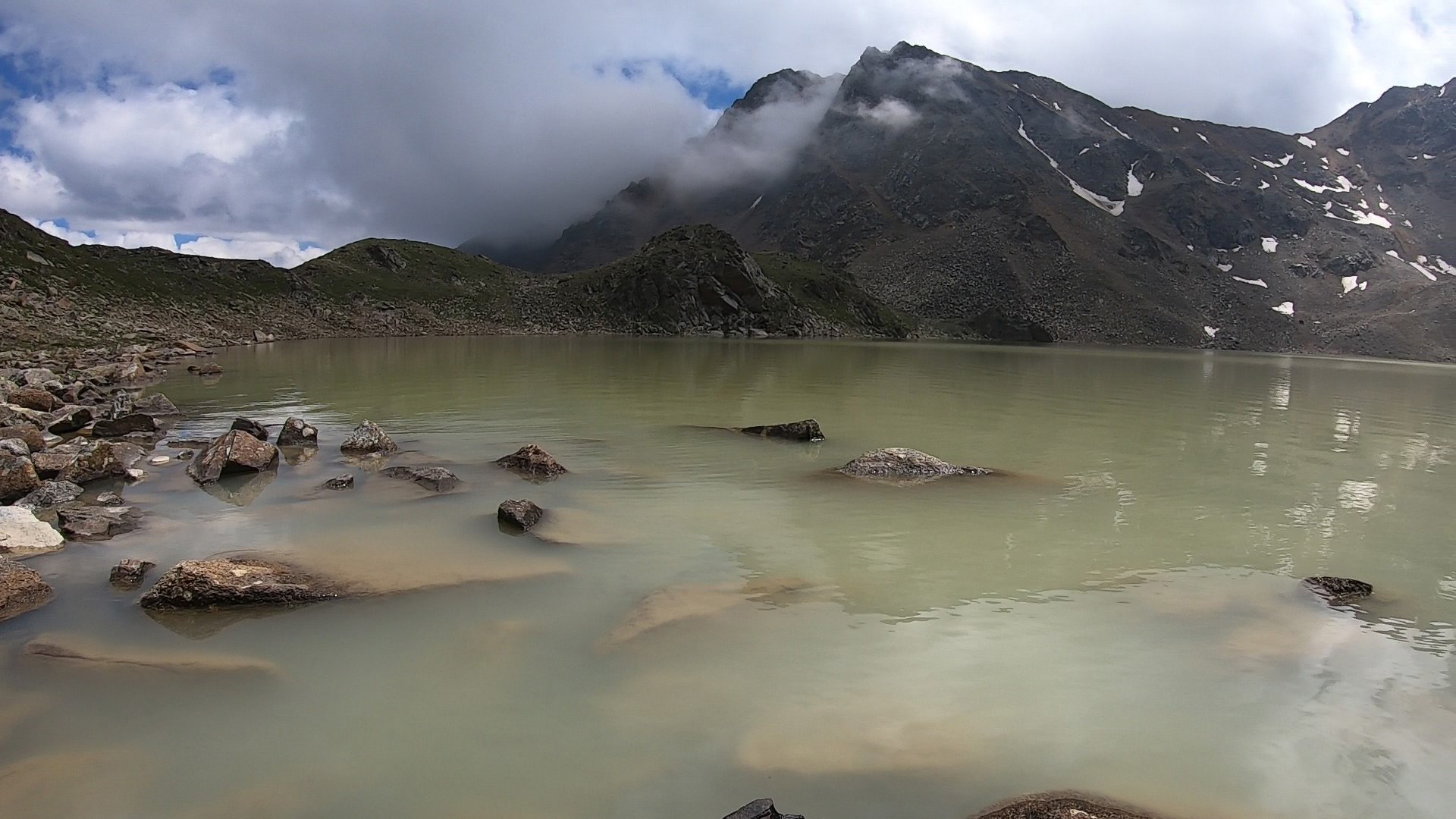
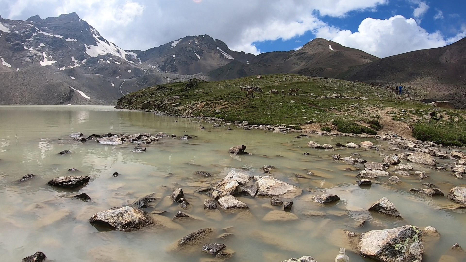
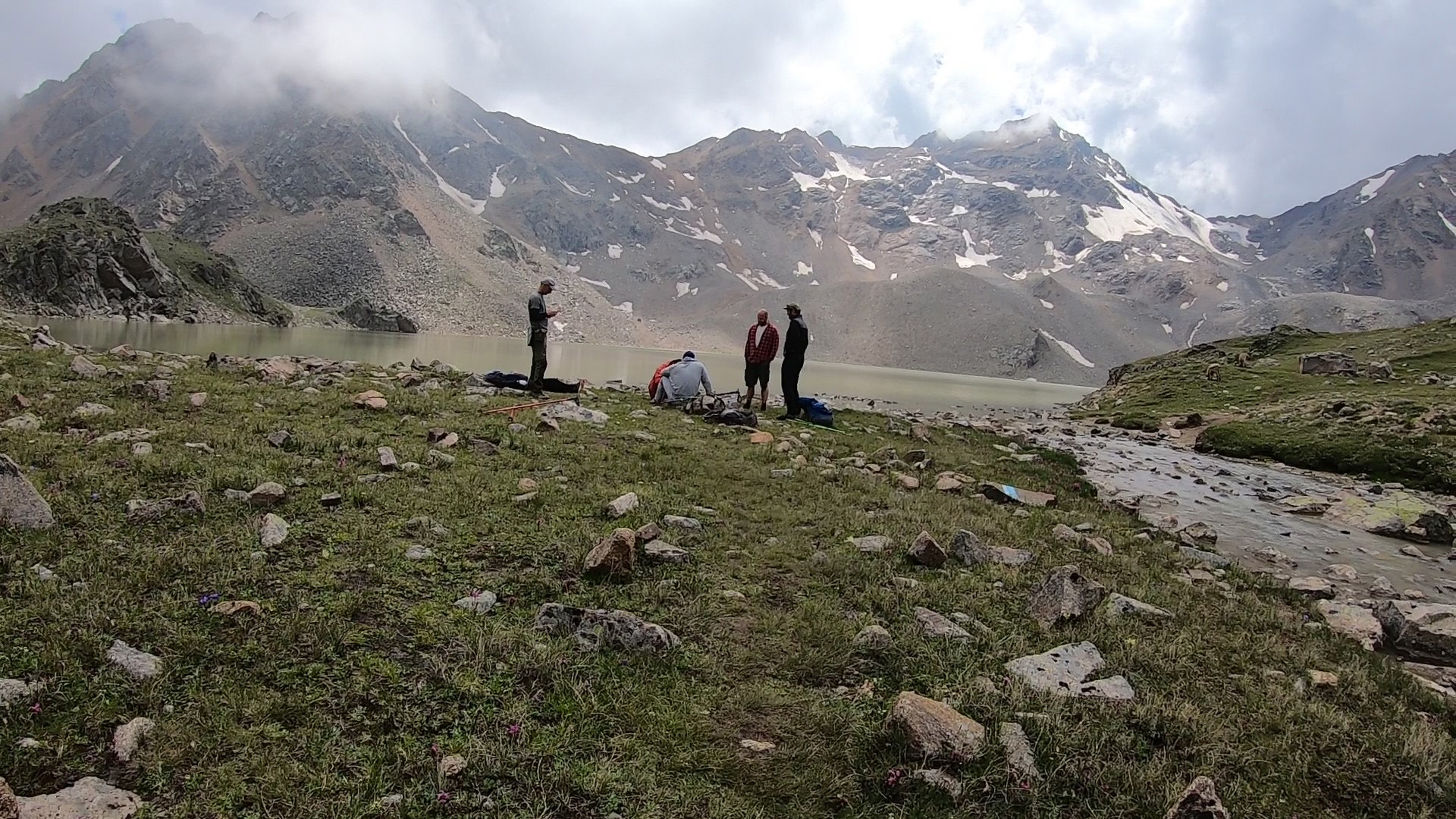
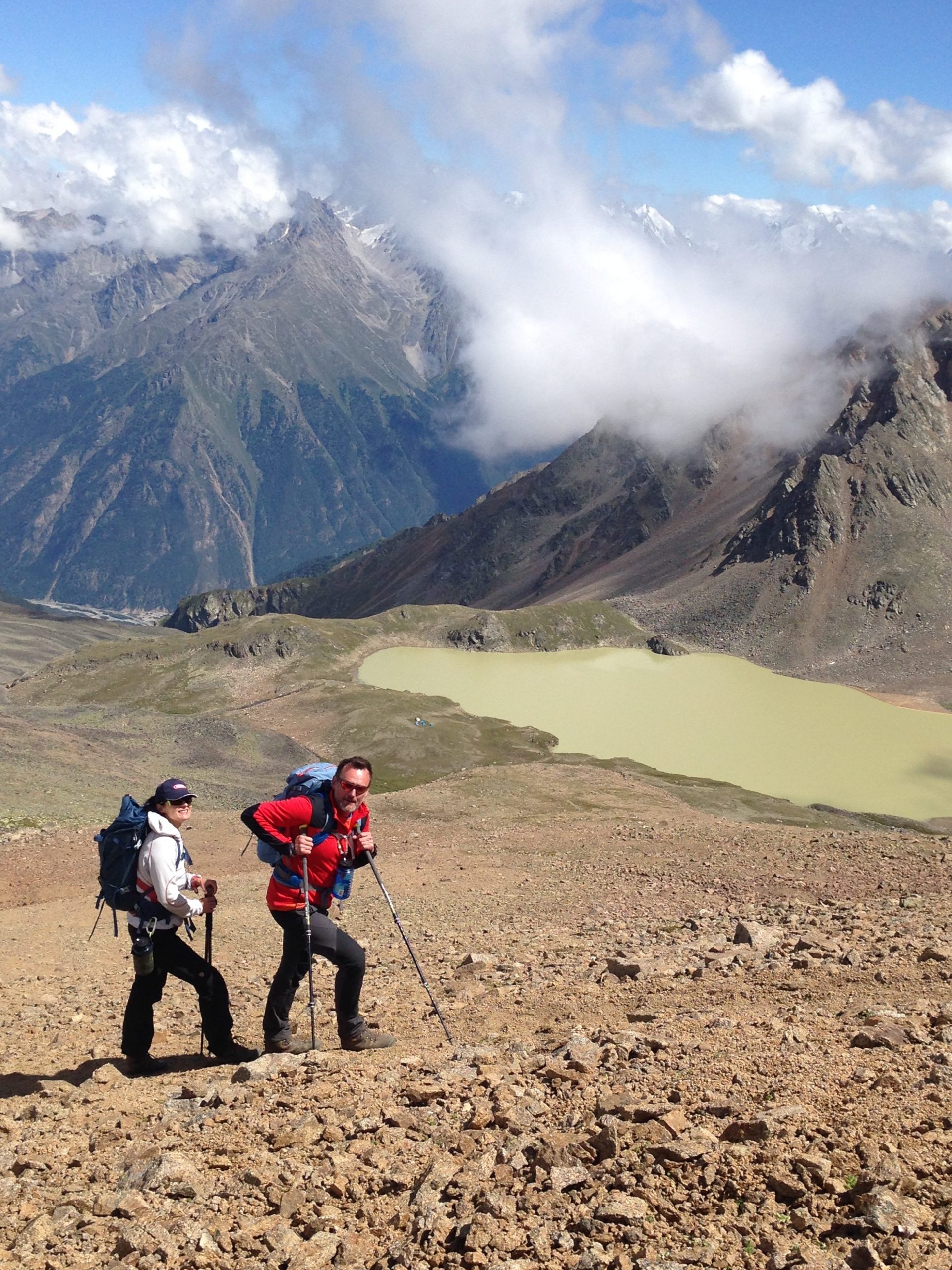
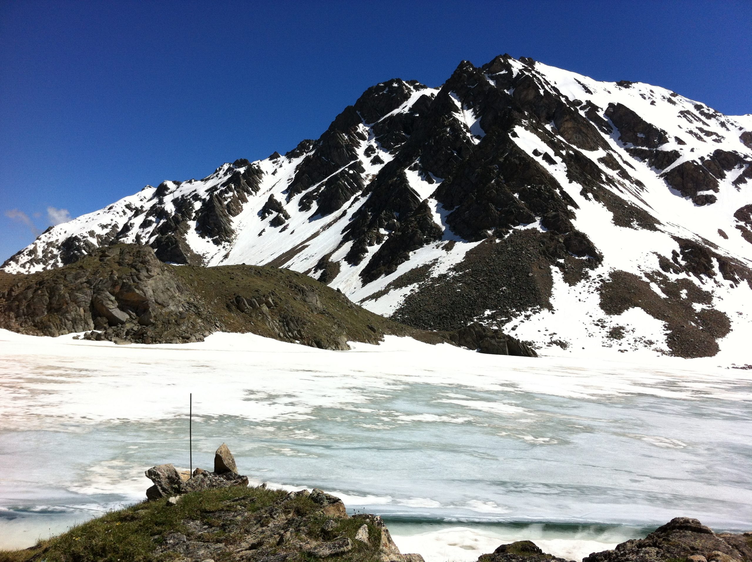
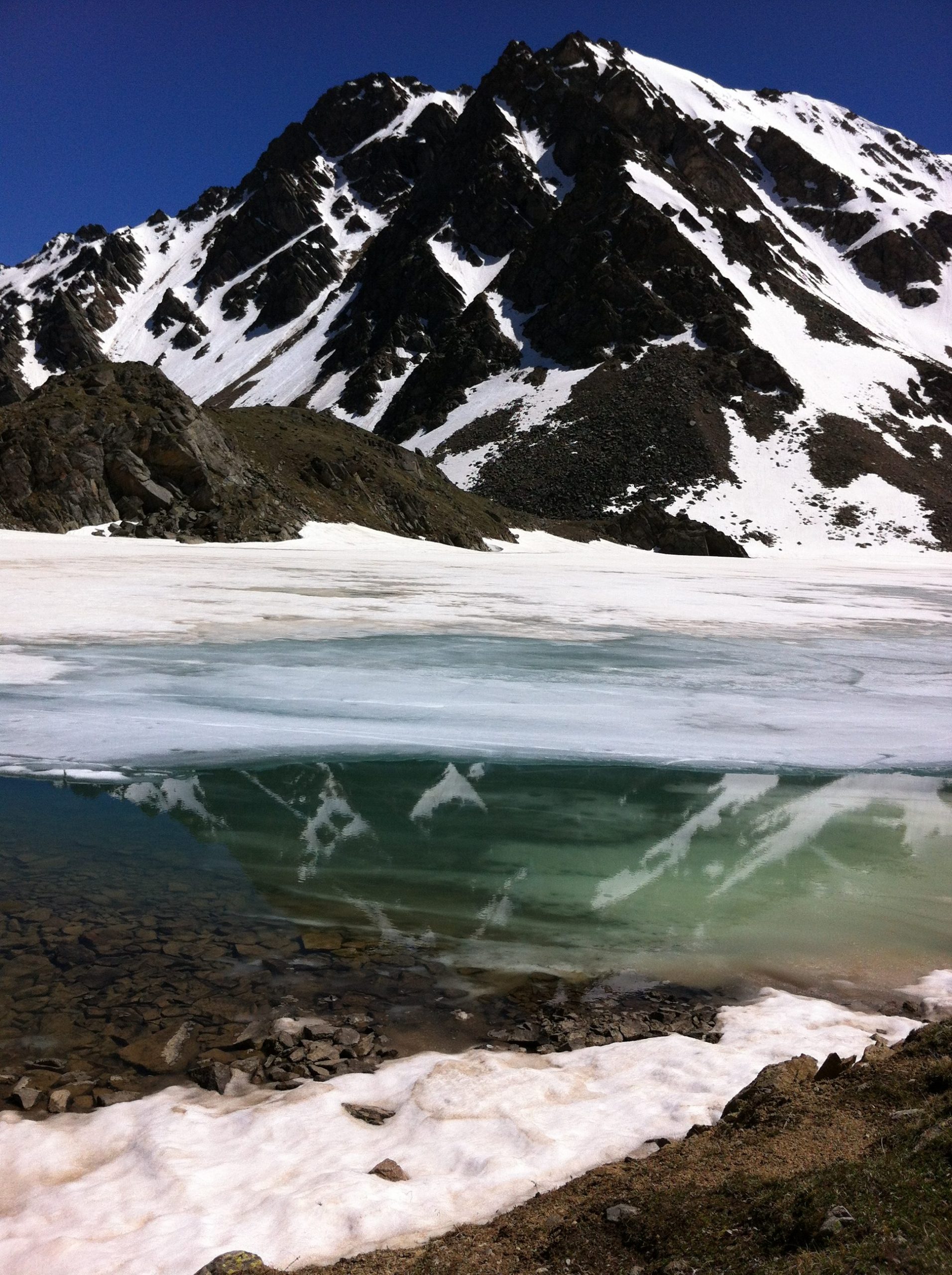
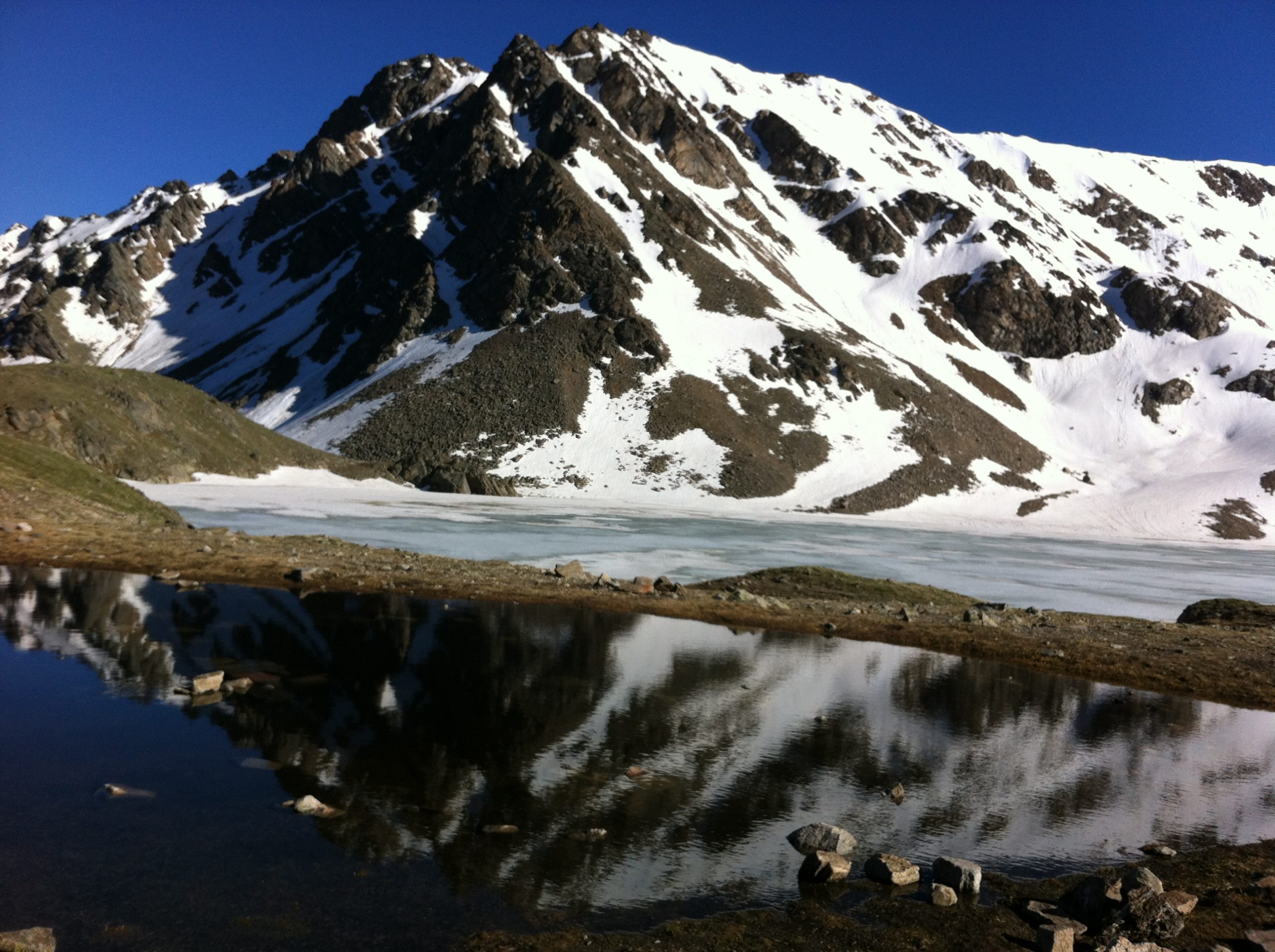
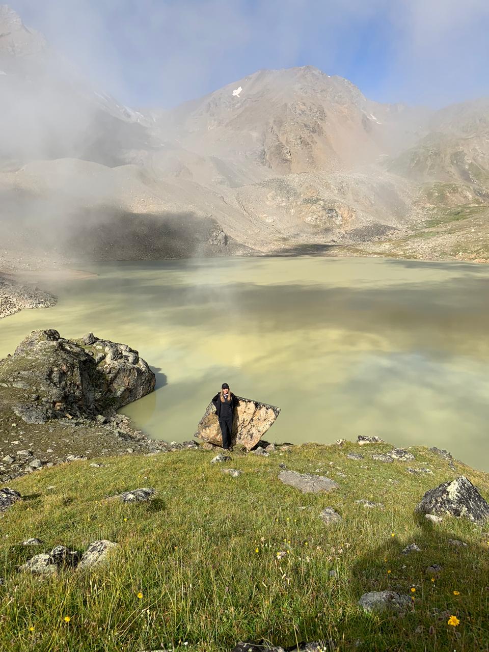
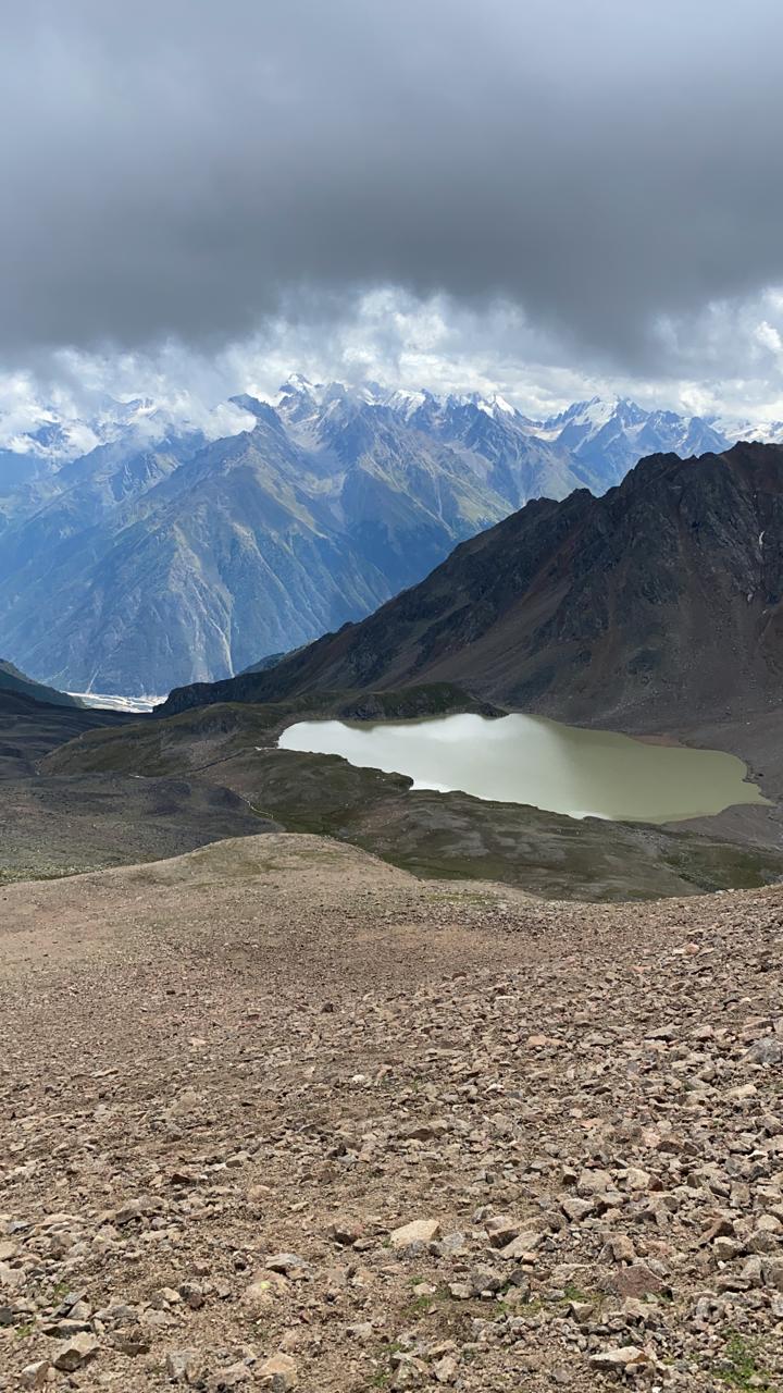
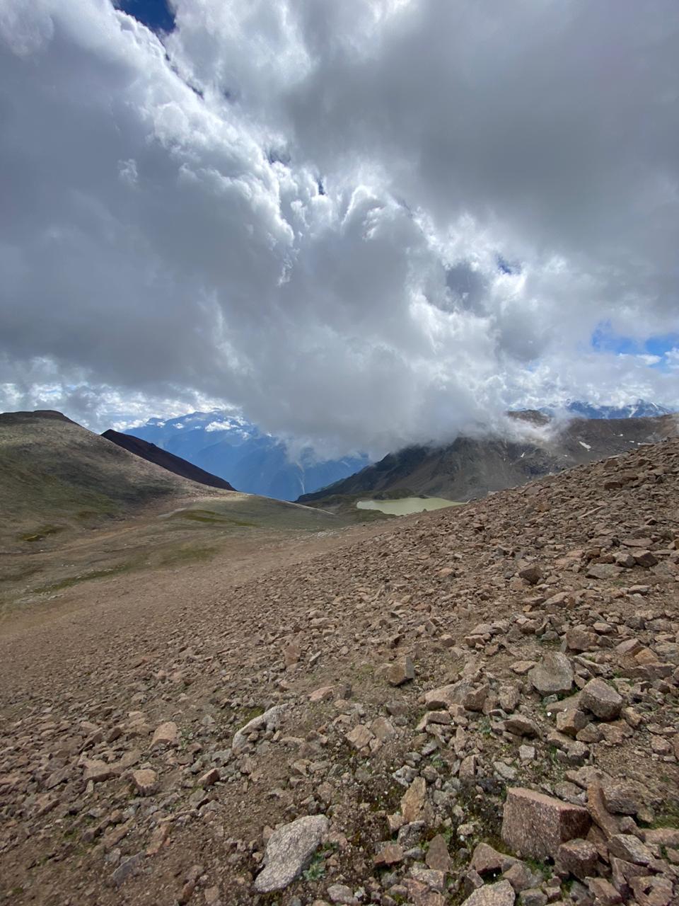
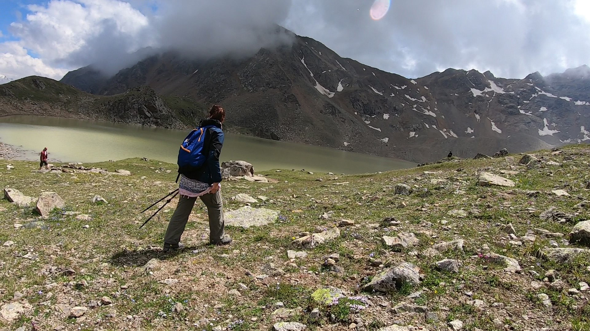
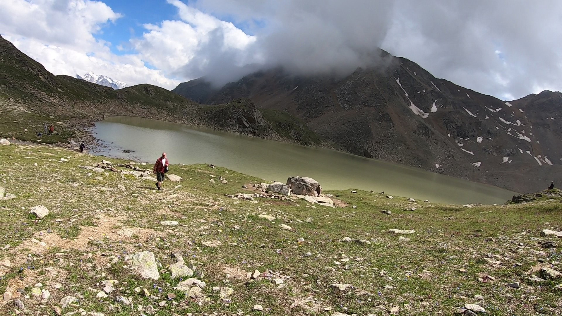
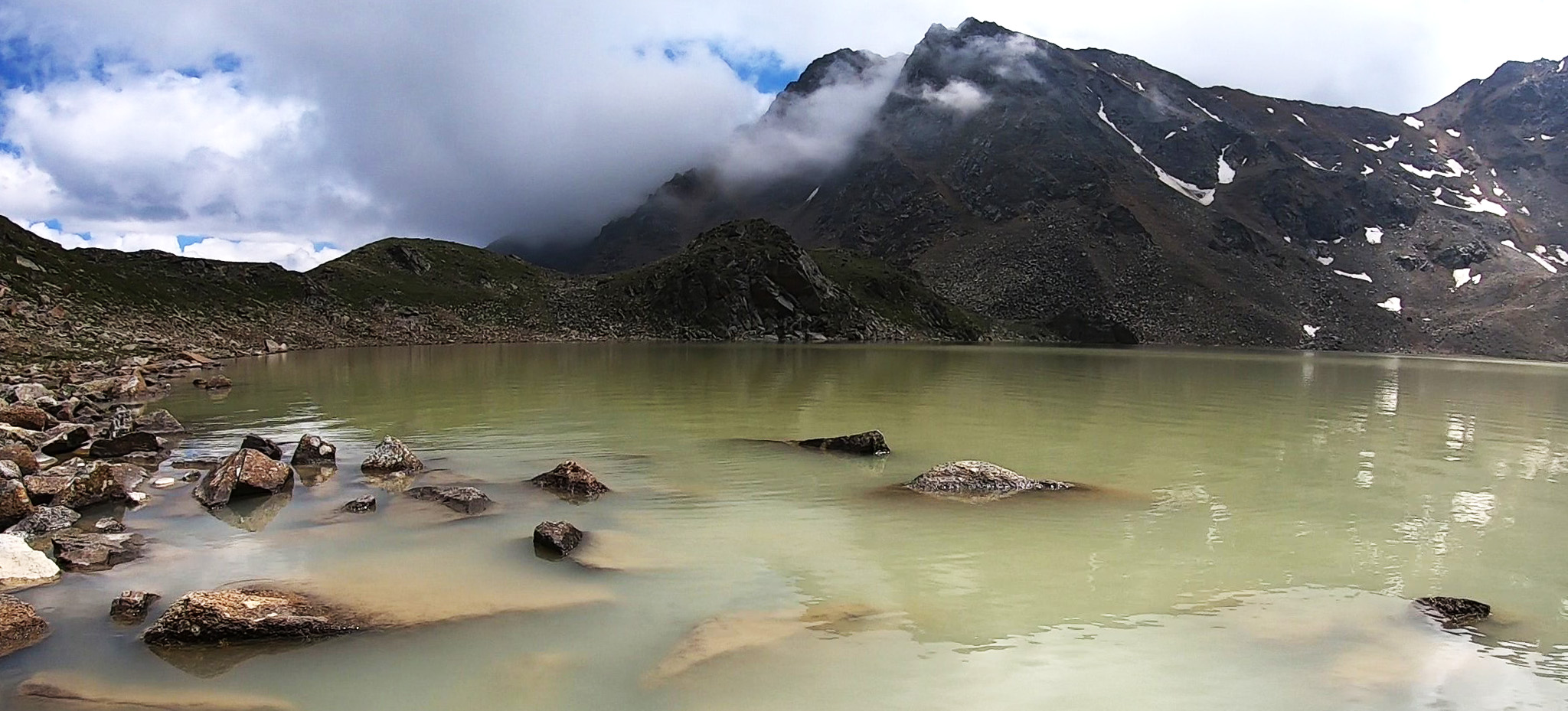
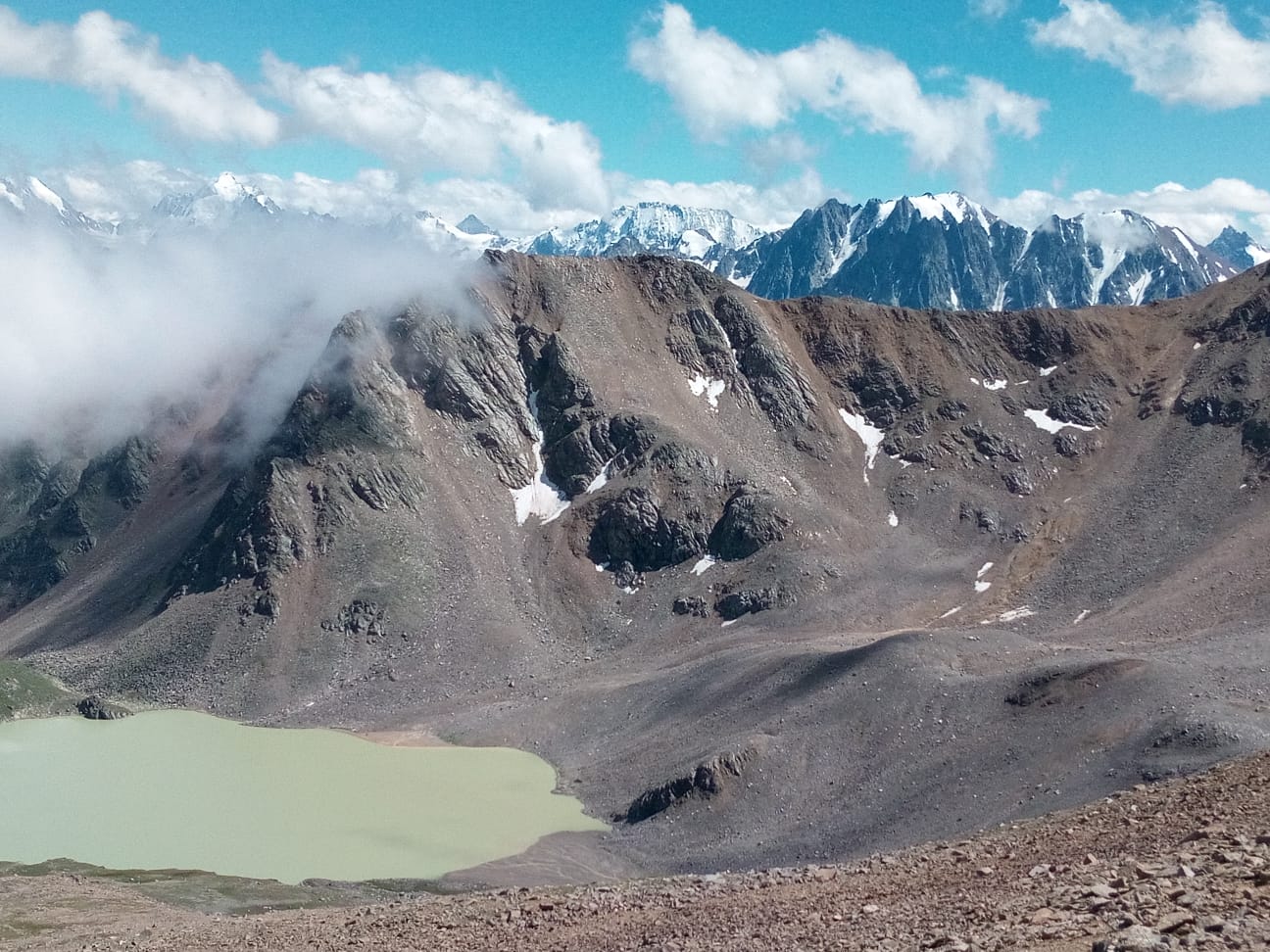
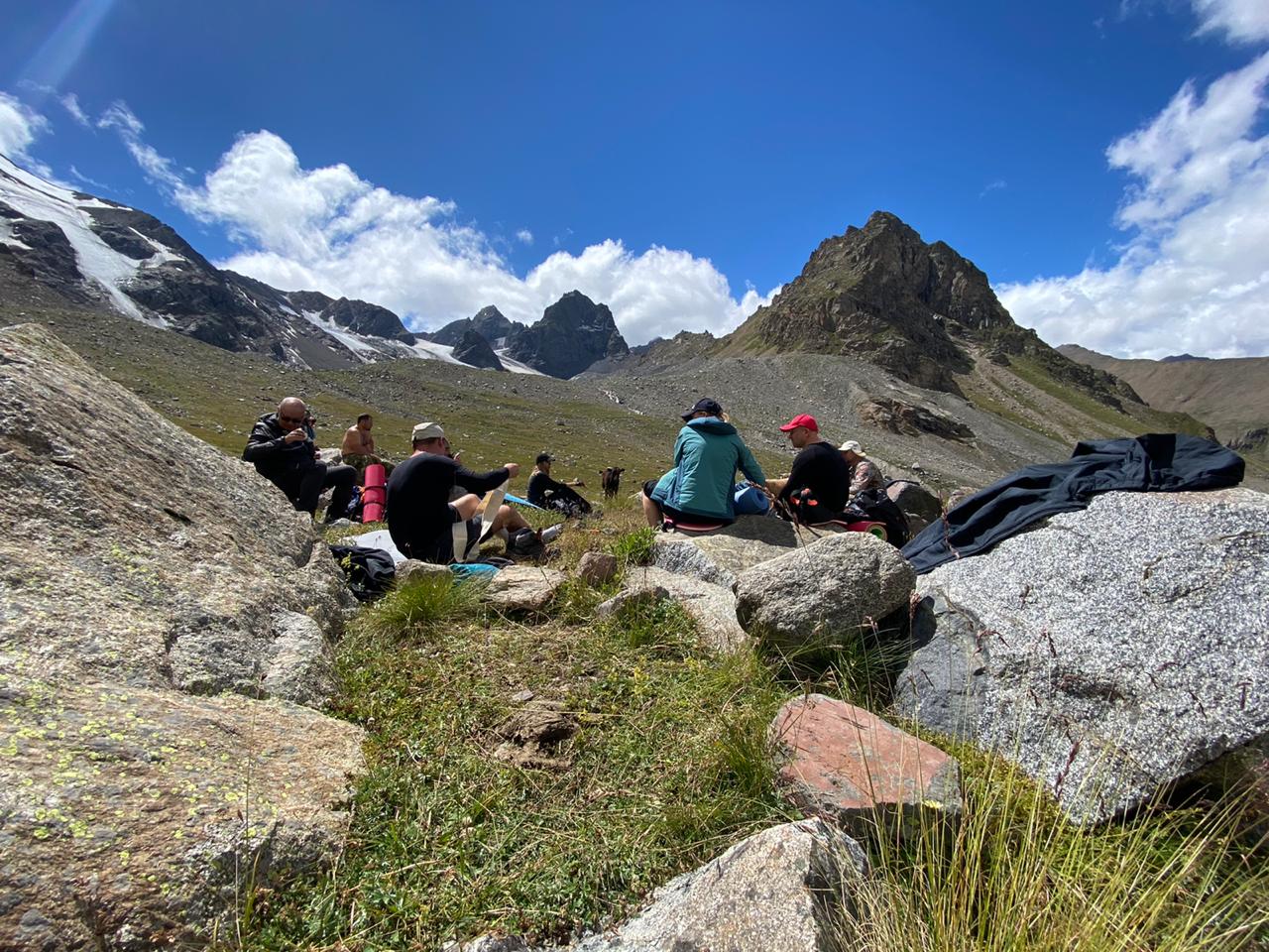
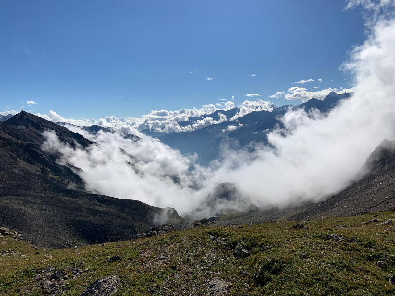
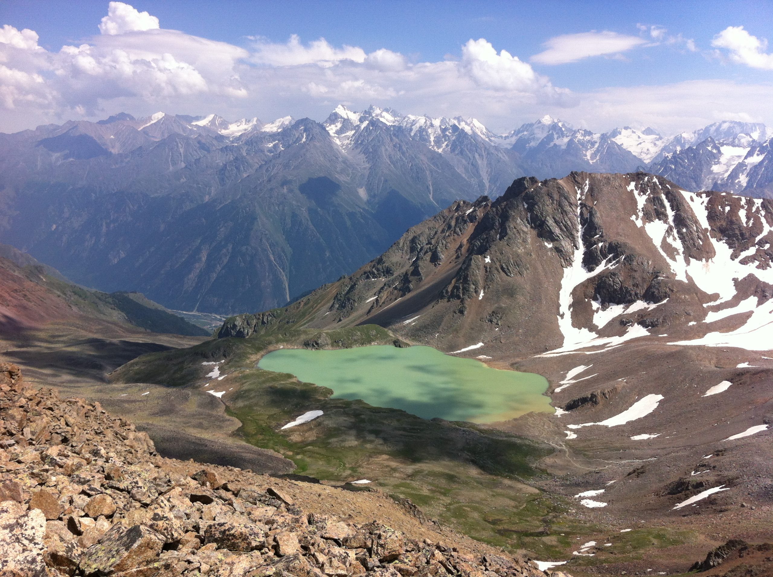
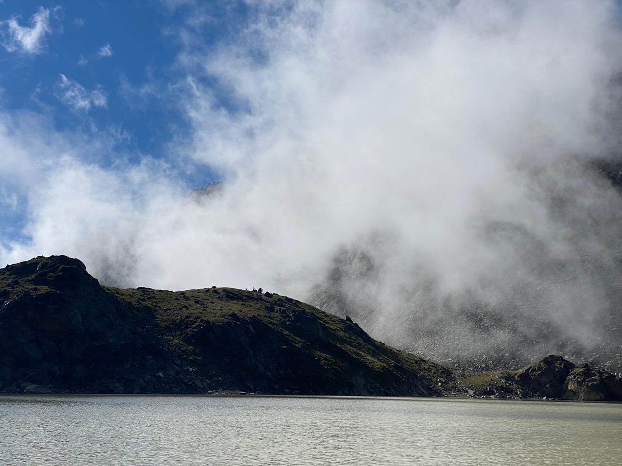
Before the tourists there is an Verhny circus of the glade with Syltran (3900 m) and Mukal (3899 m) summits. From the Mt. Mukal is leaving a spur forming a port side of the glade in the broad lowering of which there is the Syltran pass. The Syltrankel lake (in translation from Balkarian – “a beautiful lake”) is situated at the altitude 2950 m in a rocky-scree hollow of the circus. In sunny weather the lake with greenish water and white ice floats framed by rocky coasts and snow summits, admires with its severe beauty. Most of all impresses a fancy show, when sailing along the Syltran glade clouds, coming across an invisible airflow, mount uphill and are dispersed, not reaching the lake.
On the path going along the spring, flowing off the saddle it is possible to mount the pass Syltran in 40 minutes. This ascent doesn’t represent any technical difficulty as steepness of the slopes is not more than 25 degrees.
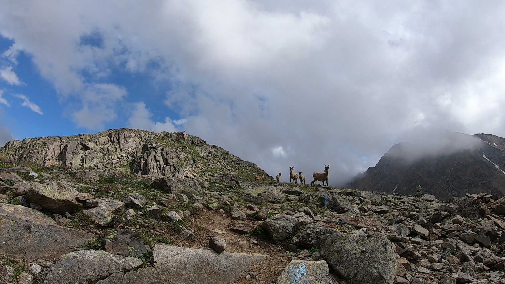
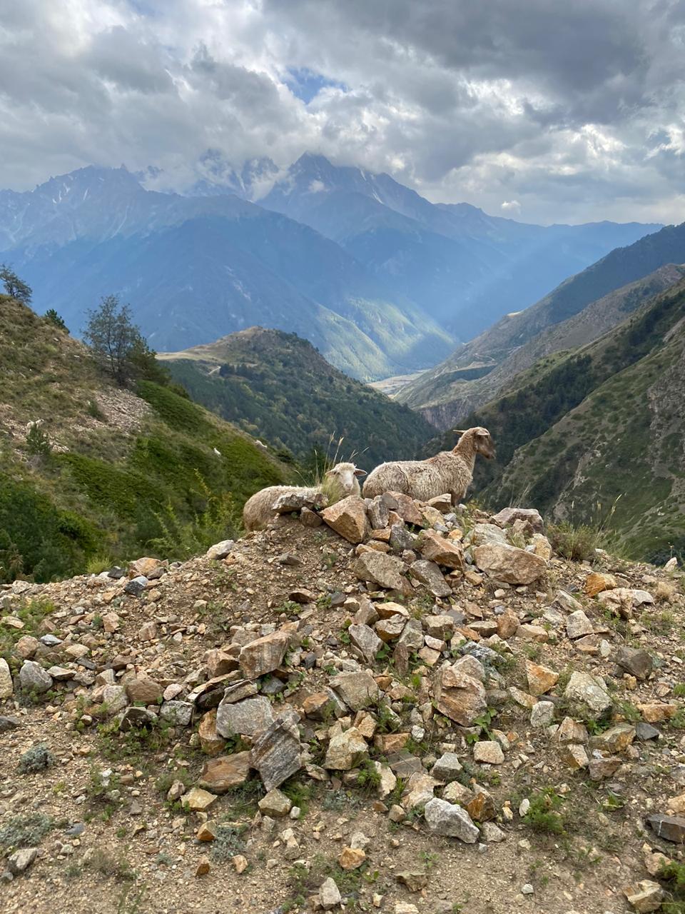
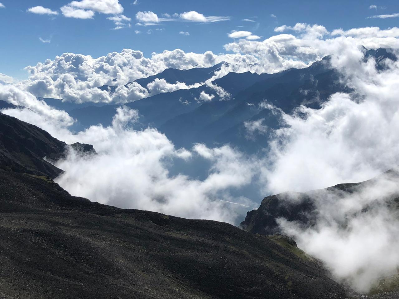
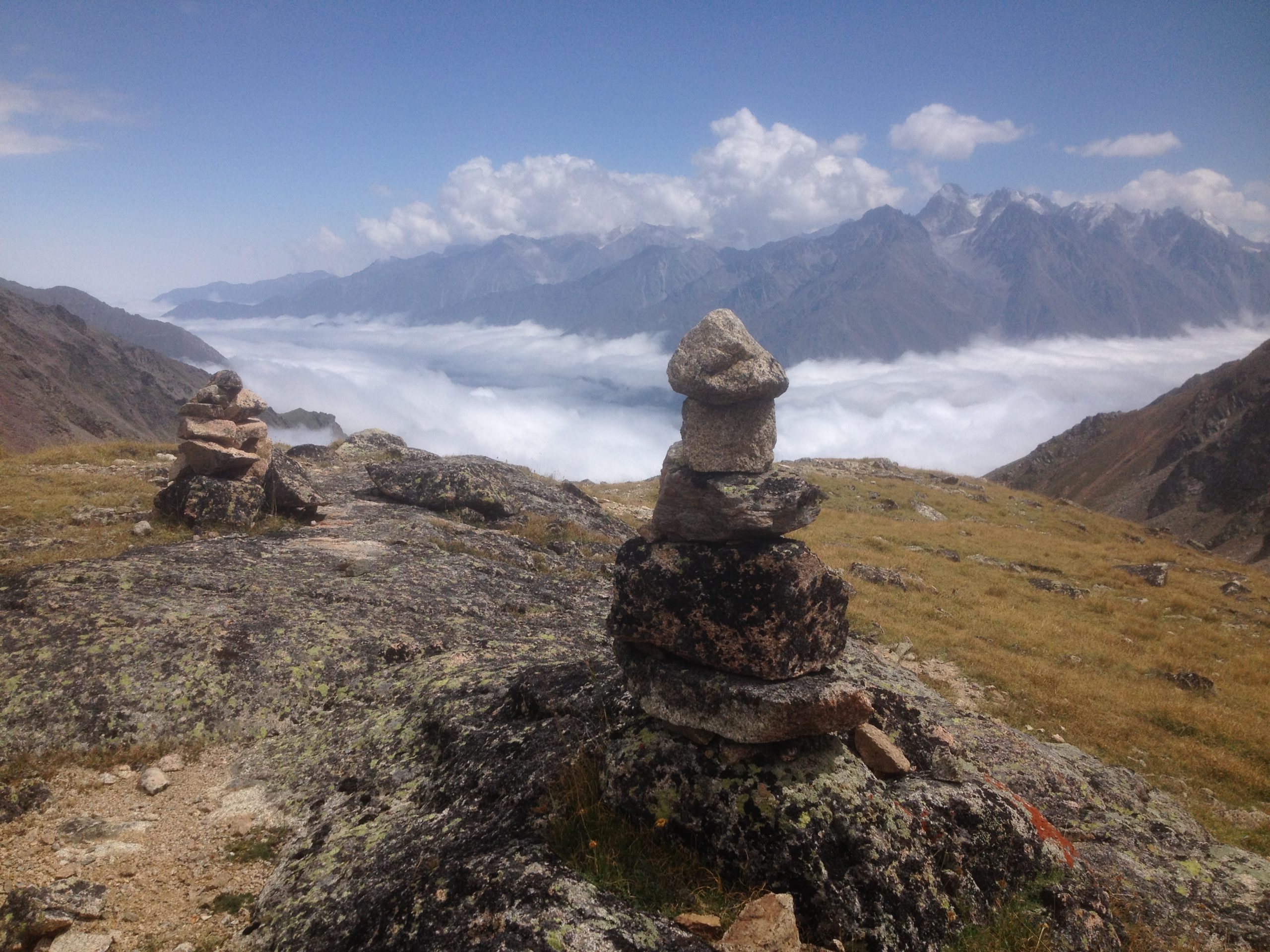
A broad panorama of neighboring mountains opens from the pass (3400 m). On the background of eastern summit of Mt. Elbrus there are Chatkara, Irik, the Soviet Soldier, Balyk and etc. summits, there are seen big glaciers of the eastern spur of Mt. Elbrus, the ancient Chkeryakolsky lava flow, slopes of the ridge Kyrtyk. In southeast opens distant snow summits of the Main Caucasian Range and of its spurs. This view is mostly effective in pinkish illumination of pre-dawn morning hours.
The descent way is an ascent way. It’ll take 4-5 hours to reach the road till the Verhny Baksan. It is necessary to mark, that the difference of altitudes of a reduced route makes 1500 m, therefore route is recommended to the tourists, elapsed preliminary preperation.
DESCRIPTION
Departure
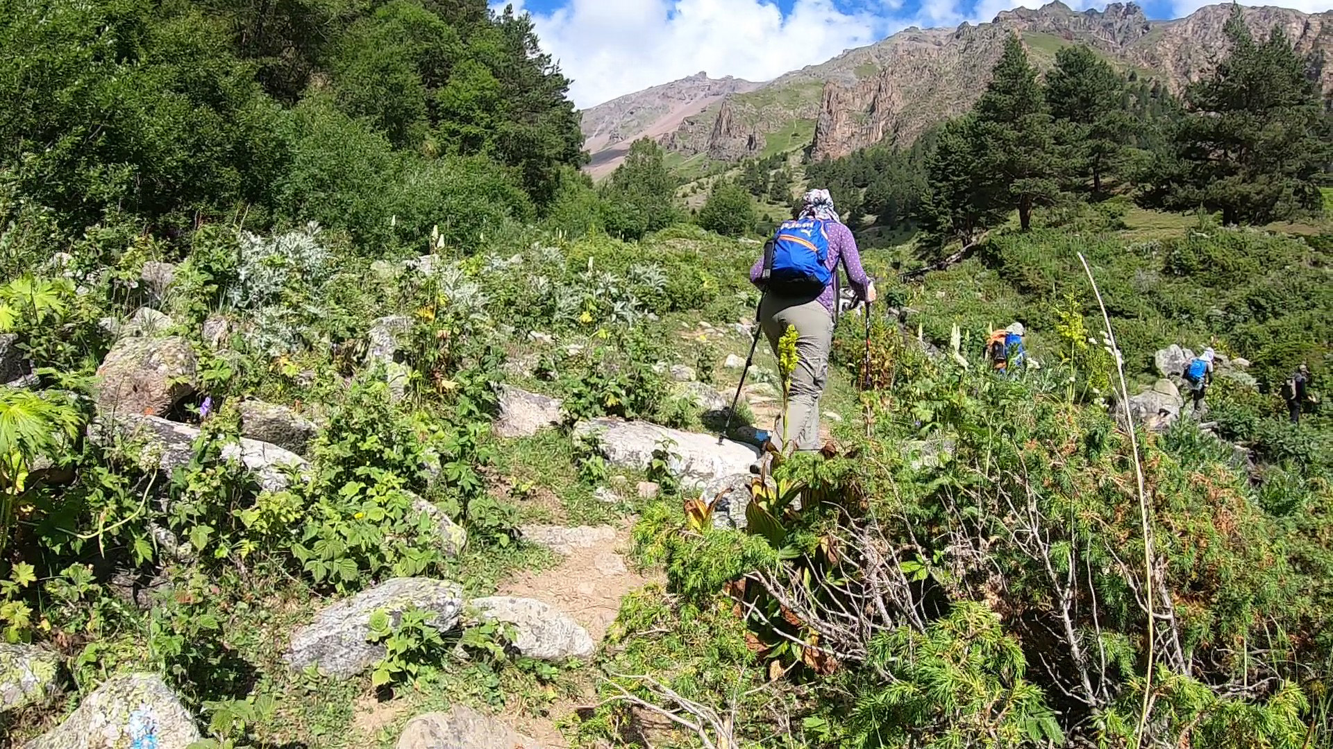
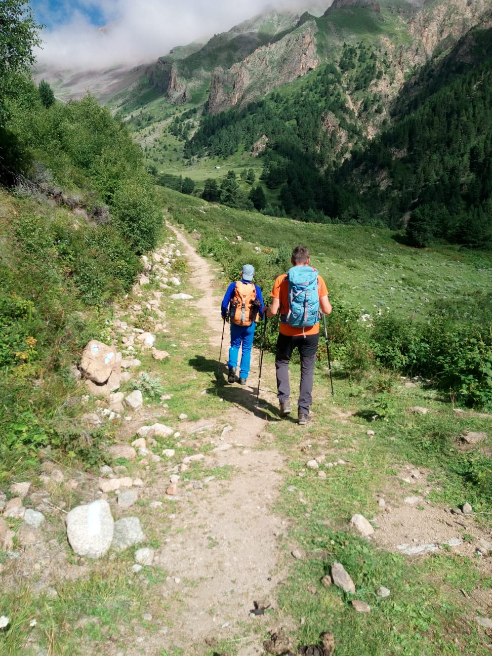
At first, the path runs along a rocky dirt road, which rises in a steep serpentine along the slope of the gorge to the forest. In which we soon make a stop in a picturesque glade. After a short rest, we will continue our journey, now through a pine forest. Along the way, abundant thickets of raspberries come across, the air is very fresh and filled with the aromas of the forest, through which the road passes in steep zigzags.

Hiking Route
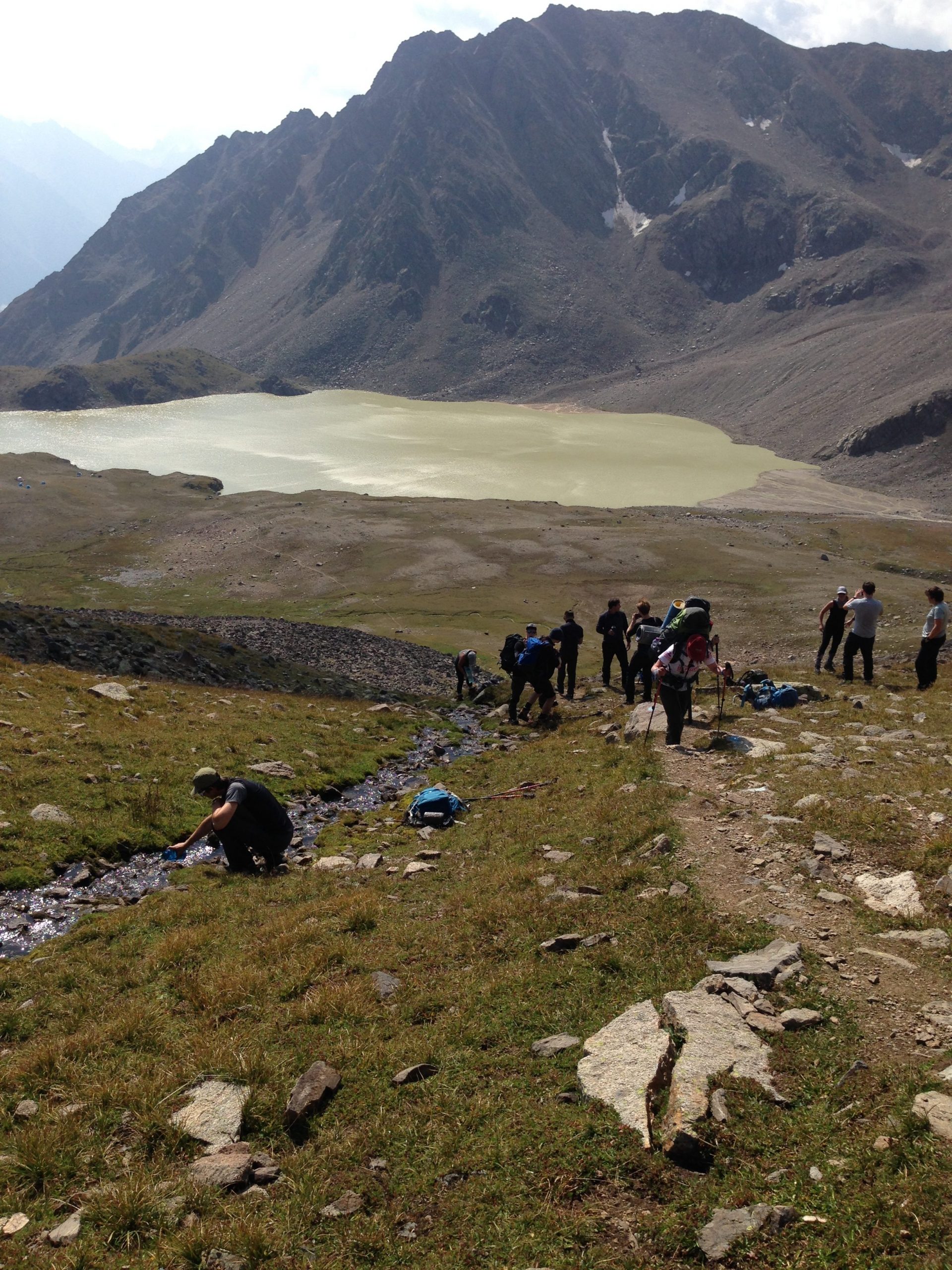
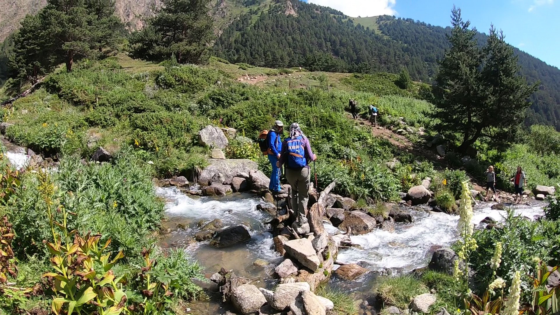
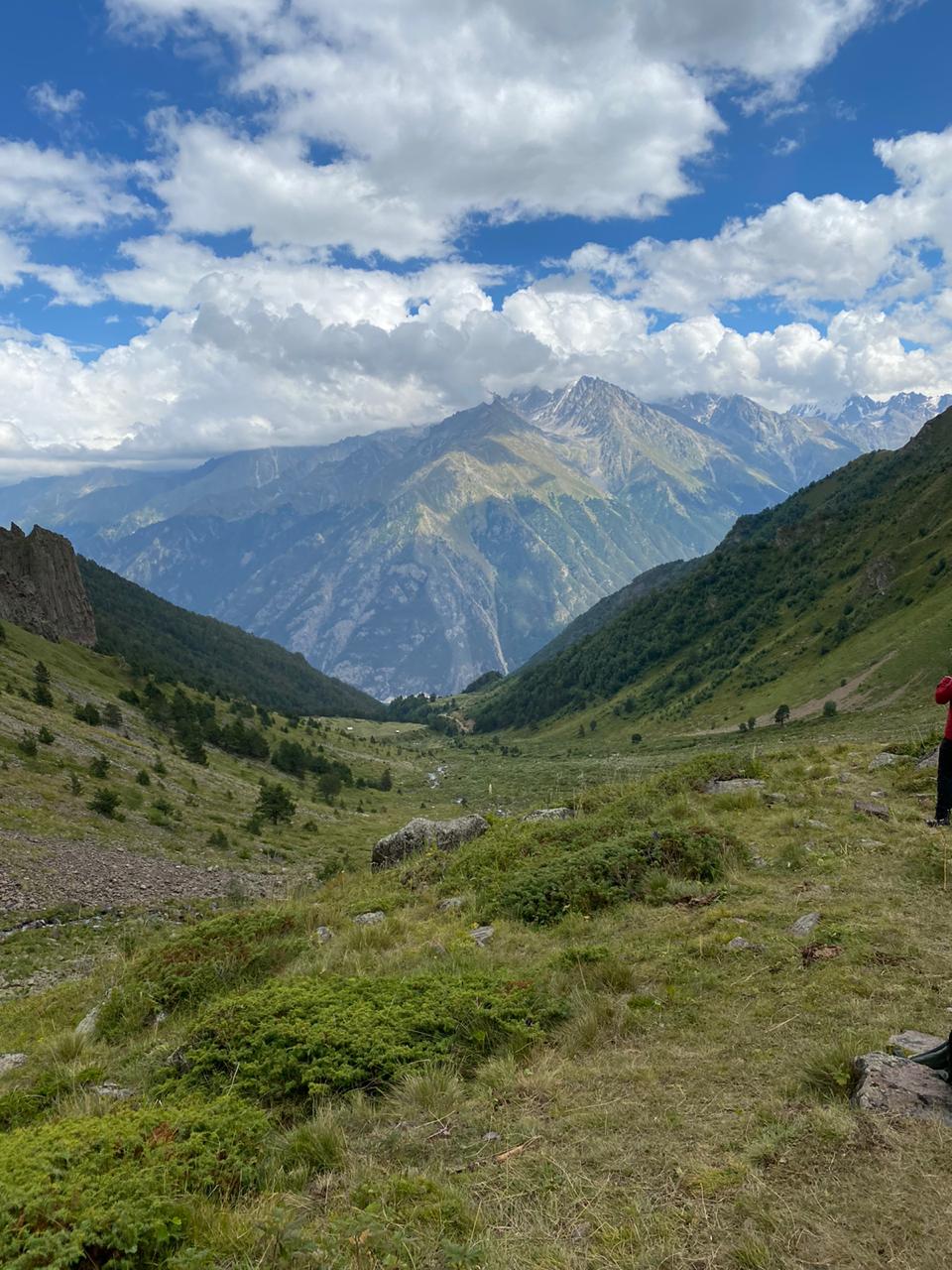
Looking back, we will see a magnificent view of the Adyr-Su gorge, which can be seen through and from the top of Suullukol-Bashi to the top of Ullu-Tau. And then our movement will become more difficult. The ascent will become steep in places, the path will lead us along screes and among huge stones, with water rustling under them. And here we have the first rocky takeoff. This is a very steep grassy, but not long ascent, bypassing the rocks on our way to the left. After that, the path runs only along the stones until the second rocky rise, behind which there is already a lake. The height is already felt. But for another half an hour of walking, we reach a height of 3200 m and now a mountain circus of peaks, reflected in the smooth surface of the lake, spreads out in front of us.
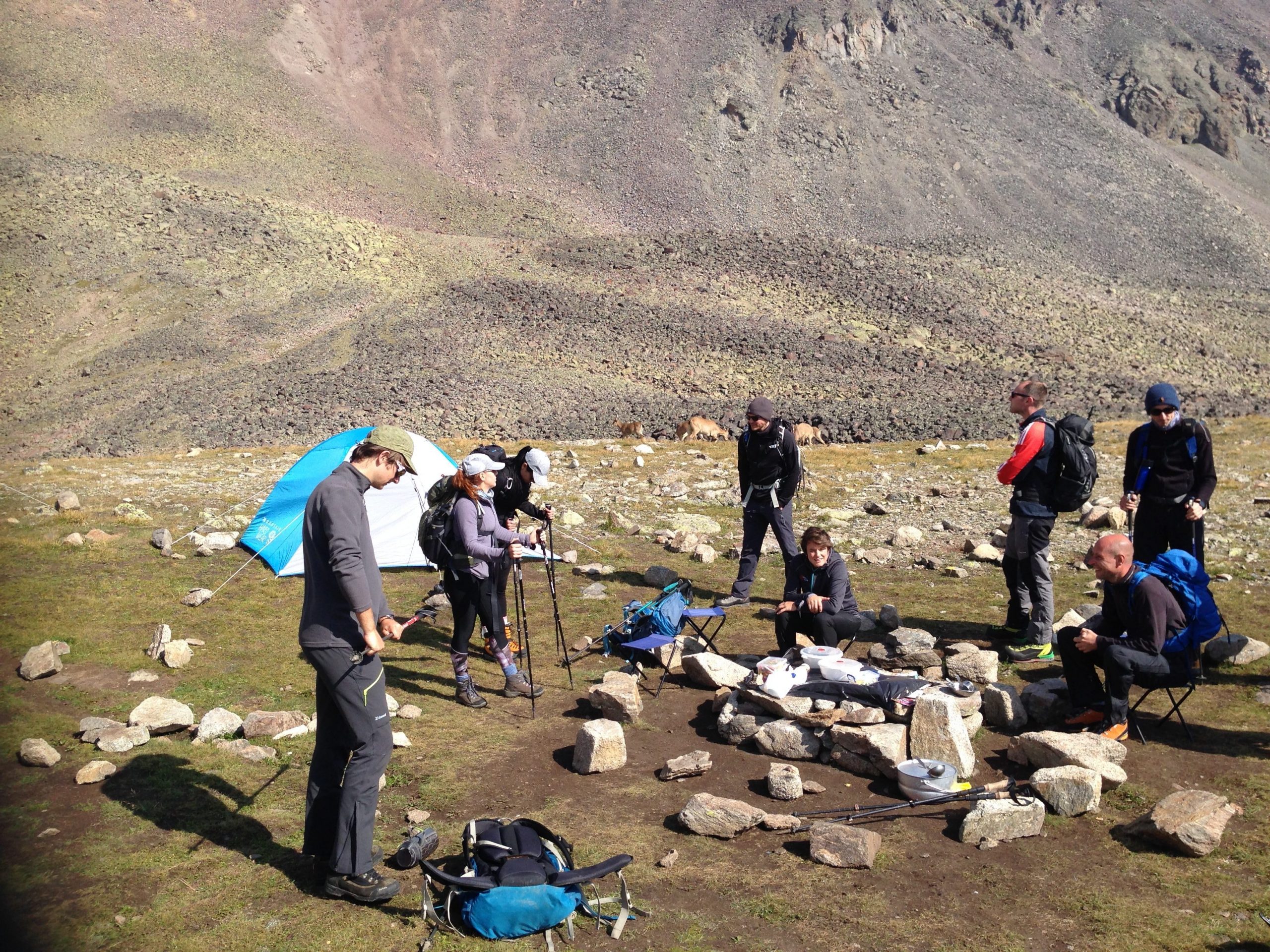
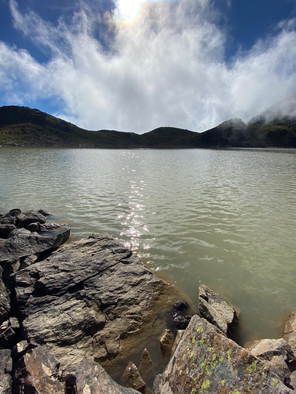
Crossing the river flowing out of the lake, lunch.


Lake Syltran-kel
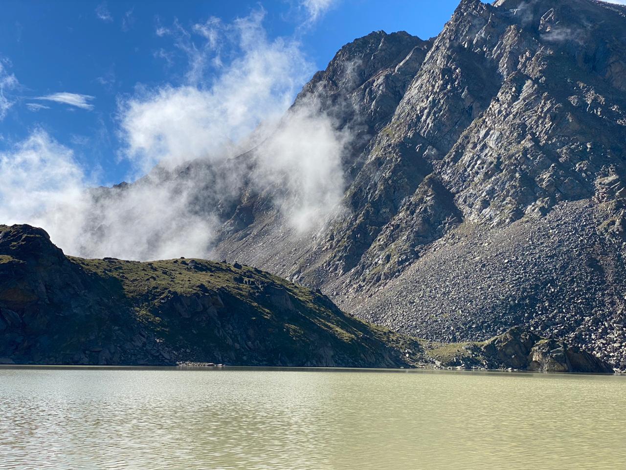
A feature of the lake is its unusually beautiful color, which is received because of the glaciers: together with melting water, minerals from mountain deposits enter the reservoir, which colored the amazing lake in 3 colors.
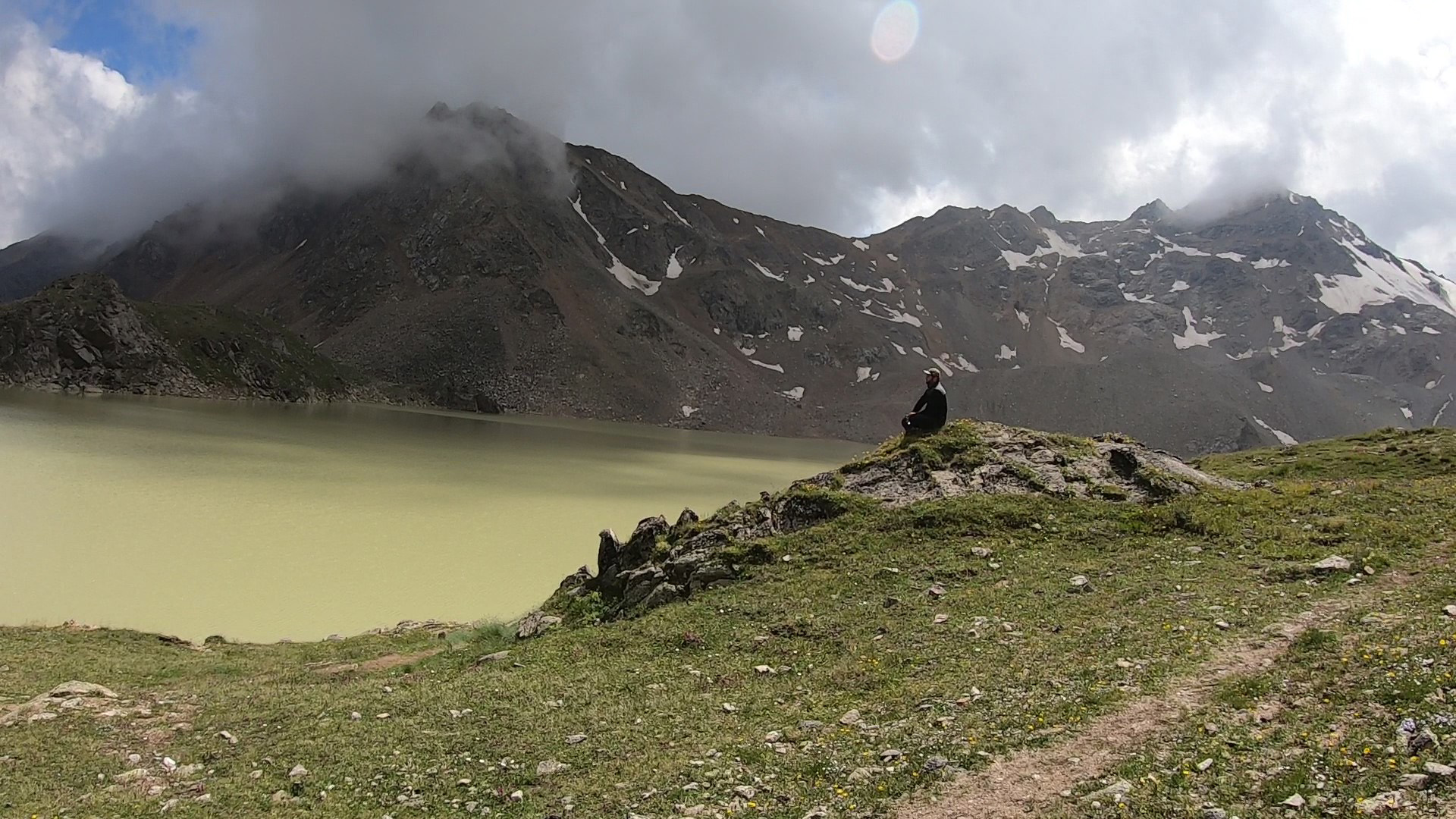
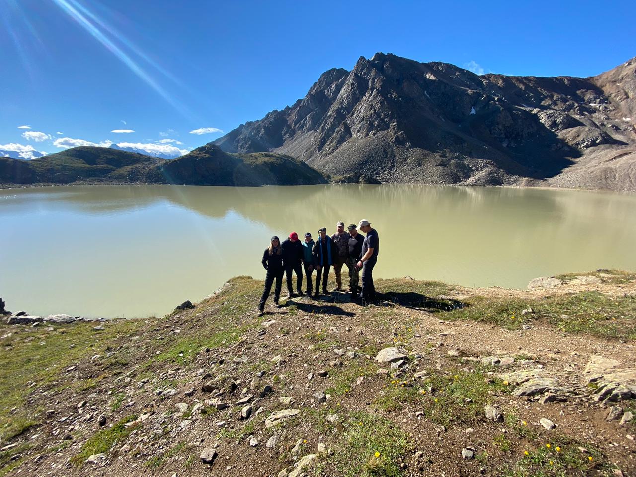
Be sure to take a snack with you, we will have a small picnic near the lake with a magnificent view.
Departure
Descent to the Baksan gorge on the way up, picking raspberries along the way. Return back to Nalchik.
| PRICE | 3’000 rubles per person | |||
| DEPARTURE TIME | 07:00 | |||
| DURATION | 10-12 hours | |||
| NUMBER IN THE GROUP | from 6 pax | |||
| INCLUDED IN THE PRICE |
|
|||
| ADDITIONALLY PAID |
|
|||
| You must have: ✓ Passport, ✓ Snack, ✓ Sports shoes, ✓ Rain clothes Important to know! If weather conditions are unfavorable for the tour, then changes to the planned route are possible, including the day and time of departure. |
||||
Booking
List of personal trekking equipment
Clothes and shoes
Cap / panama hat
Jacket (air temperature early in the morning and late in the evening +8…+12 С)
Lightweight shirt with long sleeves (protects against burning of the arms and neck)
T-shirt
Hiking pants
Socks
Trekking shoes and/or thick-soled sneakers
Flip flops
Hat, gloves
Waterproof clothing and/or raincoat
Trekking poles (reduce stress on the knees). If you have problems with your knees, joints and excess weight, you MUST have trekking poles (you can rent for free from us)
Equipment and personal items
Passport / birth certificate of the child (original documents — not a copy!)
Closed packaging for documents
Plastic bottle 0.5 l (for drinking water on the route)
Mug, spoon, knife (for lunch in the mountains ffor tea, a non-breakable mug)
Torch
Backpack for walking (20-25 liters). In the backpack — personal belongings of the tourist and public products for lunch, which are issued by the instructor (400-600 gr)
Safety & Personal Care
Sunglasses
Toilet paper
Shoe dryers
Sunscreen, hygienic lipstick
Individual first aid kit. Mandatory: elastic bandage, plaster.
Personal care products